Tyrol
Austria's Alpine core, from Innsbruck to the Ötztal glaciers.

- Nearest station
- Innsbruck Hauptbahnhof
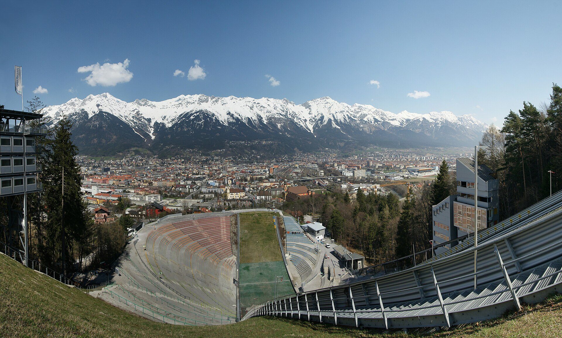
Tyrol is an Austrian state of two parts: North Tyrol and East Tyrol do not touch, being separated by the state of Salzburg and by the Italian province of South Tyrol, which was part of Tyrol until 1919. Under the 1919 Treaty of Saint-Germain Austria ceded the southern part of Tyrol to Italy, and getting between the two parts by road today means going through Salzburg, on the Felbertauern road from Lienz to Mittersill, or across the Italian border. Innsbruck, on the Inn river, is the capital and, with 132,188 inhabitants in 2024, the fifth-largest city in Austria; it lies between the Nordkette of the Karwendel Alps to the north and the Patscherkofel to the south. Lienz, East Tyrol’s administrative centre, lies at the confluence of the Isel and the Drau with the Lienzer Dolomiten to the south, a range that borrows the name and is formed of the same Hauptdolomit as the Dolomites but lies north of the Periadriatic line, which puts it geologically in the Central Eastern Alps rather than the southern Alps.
The mountains
By Tirol Werbung’s count there are 574 summits above 3,000 metres in Tyrol. They rise in the Ötztal, Stubai, Zillertal and Silvretta ranges of North Tyrol and, in East Tyrol, the Venediger, Granatspitze, Glockner and Schober groups. Wildspitze (3,768 m on the Austrian survey office’s figure), in the Ötztal Alps, is Austria’s second-highest mountain and the high point of North Tyrol. Grossglockner (3,798 m), the country’s highest, sits on East Tyrol’s border with Carinthia, between the East Tyrolean village of Kals and the Carinthian village of Heiligenblut; its eastern slope carries the Pasterze, Austria’s longest glacier at about 8 kilometres, which is retreating. The high point of the Zillertal Alps, Hochfeiler (3,510 m), stands on the border with Italy. Most of this high ground is reached from named side valleys running south and south-west off the Inn valley: the Ötztal, Pitztal, Paznaun and Stubaital.
Huts and long-distance routes
Tyrol’s stretch of the Alpine hut network includes the Stubaier Höhenweg, a route of nearly 80 kilometres through the Stubai Alps that the Stubai valley’s tourist board gives as an eight-day tour, and the Adlerweg (Eagle Walk), which Tirol Werbung calls Tyrol’s best-known long-distance trail: 33 stages and more than 400 kilometres in all, 24 of the stages in North Tyrol and nine in East Tyrol. The Karwendel Nature Park, immediately north of Innsbruck, is Austria’s largest nature park at 727 square kilometres, and its protected status goes back to a ban area of 1928.
Season and getting there
Winter sport centres include Kitzbühel, about 100 kilometres east of Innsbruck, the Ötztal and the Paznaun in the west, and St. Anton on the Arlberg, whose ski area reaches the Valluga (2,809 m), the highest summit of the Arlberg area, on the border with Vorarlberg. Innsbruck Hauptbahnhof is on the Brenner Railway, which climbs the Wipp valley and crosses the Brenner Pass into Italy; the Arlberg road and rail tunnels are the route west into Vorarlberg, and the older pass road over the top, the B197, is toll-free and is closed when avalanche danger requires it. From Innsbruck Hauptbahnhof, bus 590 runs into the Stubai valley to Fulpmes and Neustift, and the Stubaitalbahn tram also reaches Fulpmes, Tirol Werbung says.
Getting here
The Brenner motorway (A13) into Italy is a special toll section outside the vignette system, with the old pass road, the B182, beside it; the Arlberg road tunnel, which also charges a toll, and the Arlberg rail tunnel connect North Tyrol to Vorarlberg.