Austria
The Eastern Alps, and the hut network that crosses them.
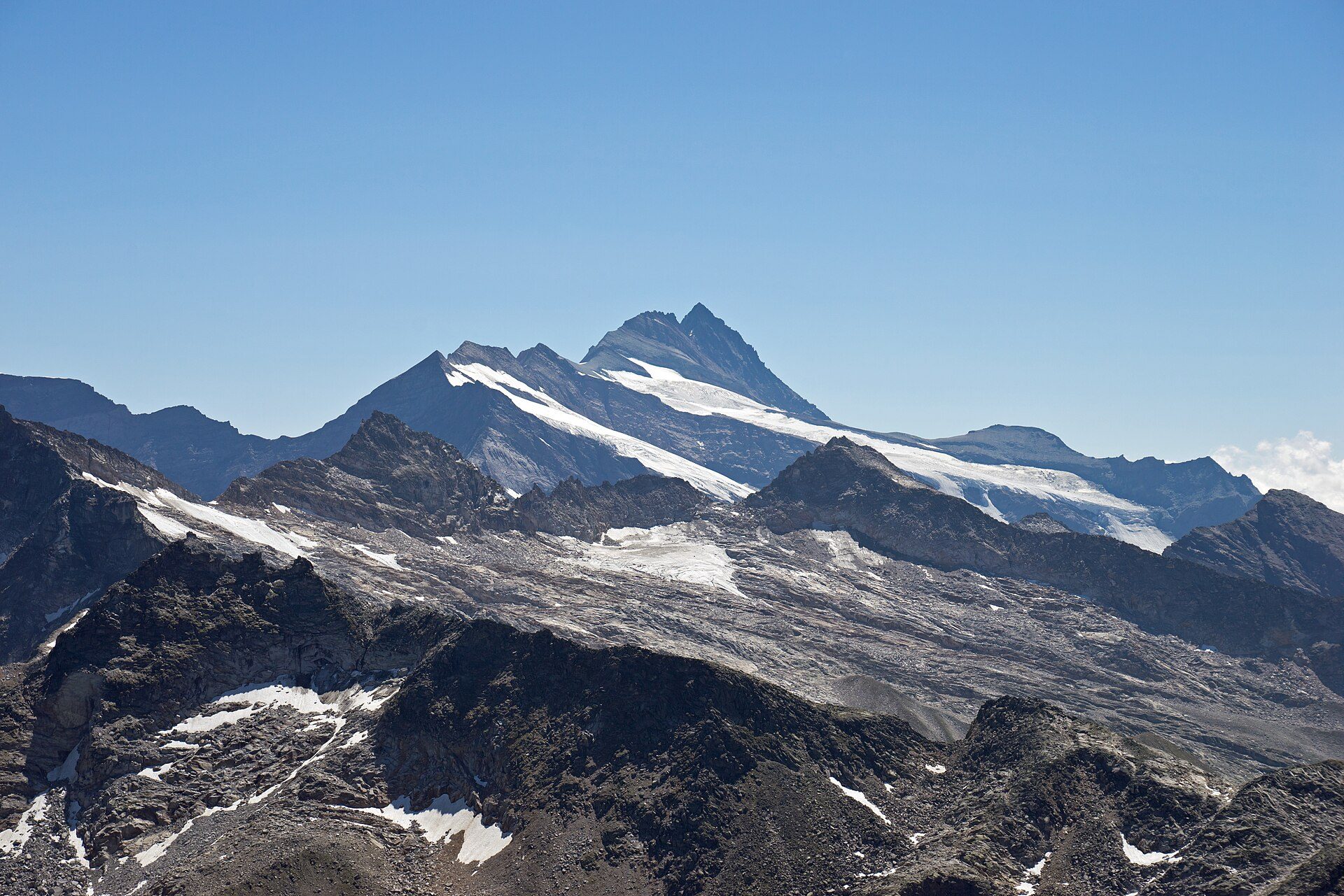

- High point
- Grossglockner
- 3798 m
- Regions
- 8
Austria’s mountains run in three roughly west-east bands: the Northern Limestone Alps, the higher Central Alps (the Hohe Tauern and its neighbours, where the glaciers and the highest summits sit), and the Southern Limestone Alps on the Carinthian border with Slovenia. Grossglockner, at 3,798 metres on the Tyrol-Carinthia border, is the country’s high point. The country narrows toward the west to a corridor between 32 and 60 kilometres wide, the ranges lose height the farther east they run, and the Alpine chain ends at the Vienna Woods.
A country built for hut-to-hut walking
The Austrian Alpine Club (ÖAV) gives 225 huts among its working areas, most of them staffed through the summer season with beds and meals, and the ÖAV and the German Alpine Club (DAV) together maintain about 40,000 kilometres of paths in the Austrian Alps, 26,000 of them by the ÖAV alone. The club advises reserving a hut bed early, best through its online reservation system, which shows only the huts that take part in it. The Stubaier Höhenweg in the Stubai Alps, a route of nearly 80 kilometres linking eight huts, is one example of a named hut route.
Eight regions, three kinds of landscape
Five Austrian regions are high-mountain ground: Tyrol, Vorarlberg, Salzburg and Salzburgerland, Carinthia, and the Salzkammergut, a lake-and-mountain area shared between Salzburg, Styria and Upper Austria. Styria and Upper Austria each pair high limestone peaks with lower hill country: Styria has the Dachstein and the Gesäuse in the north and vineyard hills in the south, Upper Austria the Kalkalpen National Park in the south and the granite hills of the Mühlviertel north of the Danube. The Wachau, a Danube wine valley in Lower Austria, has no high mountains at all but a long-distance walking trail worth knowing about regardless. Between them they run from glaciated 3,000-metre summits in the west to vineyard terraces on the Danube in the east.
Season and getting around
Summer is the hut season: the ÖAV says its huts open for a summer season and that opening times vary with location, weather and snow. Getting around by public transport starts with ÖBB, whose Railjet services link Vienna with Salzburg and Innsbruck, with Graz, and with Klagenfurt and Villach. Austria’s marked geographical centre, a stone in the spa park at Bad Aussee, sits inside the Salzkammergut; it was fixed in 1949 by a newspaper competition.
Regions of Austria
Carinthia
Warm lakes in the valleys, three mountain ranges around them.
Salzburg & Salzburgerland
Salt, Mozart, and the northern side of the Hohe Tauern.
Salzkammergut
Lakes and salt-mining history, shared by three Austrian states.
Styria
Alpine gorges in the north, vineyard hills in the south.
Tyrol
Austria's Alpine core, from Innsbruck to the Ötztal glaciers.
Upper Austria
Limestone peaks in the south, granite hills north of the Danube.
Vorarlberg
Austria's western edge, between Lake Constance and the Silvretta.
Wachau Valley
A Danube wine valley, honestly not a mountain one.