Vorarlberg
Austria's western edge, between Lake Constance and the Silvretta.

- Elevation
- 427 m
- Nearest station
- Bregenz Bahnhof
Vorarlberg is Austria’s westernmost state and, after Vienna, the second-smallest by area. It borders Germany, Switzerland, Liechtenstein and, over 69 kilometres, Tyrol, its only Austrian neighbour. Bregenz, the capital, lies on the east and southeast shores of Lake Constance (Bodensee) and is known for the Bregenzer Festspiele, a summer music festival held in July and August on and around a large floating stage on the lake.
The mountains
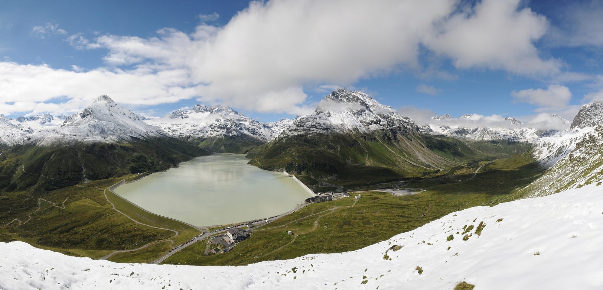
The state’s name means literally “in front of the Arlberg”, and the Arlberg massif marks its border with Tyrol: Valluga, the highest summit of the Arlberg area at 2,809 metres, straddles the two states and is reached by the Vallugabahn aerial tramway from the ski area above St. Anton. To the south, the Silvretta Alps carry Piz Buin (3,312 m) on the Swiss border with Graubünden, the highest peak in Vorarlberg. The state also holds the Rätikon and Verwall ranges and a set of named valleys: the Montafon, the Brandnertal, the Klostertal, which runs about 30 kilometres from Bludenz east to the Arlberg and the Tyrolean border, and the Grosses Walsertal, a side valley of the Walgau that has been a UNESCO biosphere reserve since 2000. The Bregenzerwald, in the Northern Limestone Alps, has a long tradition of alpine cheese-making.
A literary footnote
Ernest Hemingway spent the winters of 1924-25 and 1925-26 in Schruns, in the Montafon, staying at the Hotel Taube with his first wife Hadley; when the Hemingways left for Schruns in December 1925 he began extensively revising the manuscript of The Sun Also Rises there. Schruns is the main town of the Montafon, the valley that runs from Bludenz to the Silvretta and the Rätikon; Montafon Tourismus records a ski tour he made there with Hadley and his friend Dos Passos to the Madlenerhaus.
Getting there and around
Bregenz station, on the Vorarlberg railway, has EuroCity services running to Zürich and, by way of Lindau, to Munich. At Feldkirch, further south, the Feldkirch-Buchs line leaves for Liechtenstein and Switzerland. Getting east into the rest of Austria means crossing the Arlberg: the road and rail tunnels both run under it, while the old pass road over the top, the B197, is toll-free and is closed when avalanche danger requires it. Schruns is the end of the Montafonerbahn, a 12.8-kilometre branch from Bludenz, where the Railjets between Vienna and Zürich stop.
Getting here
The Arlberg road tunnel (S16) and rail tunnel connect east into Tyrol; the toll-free pass road over the top (B197) closes when avalanche danger requires it.