Bern
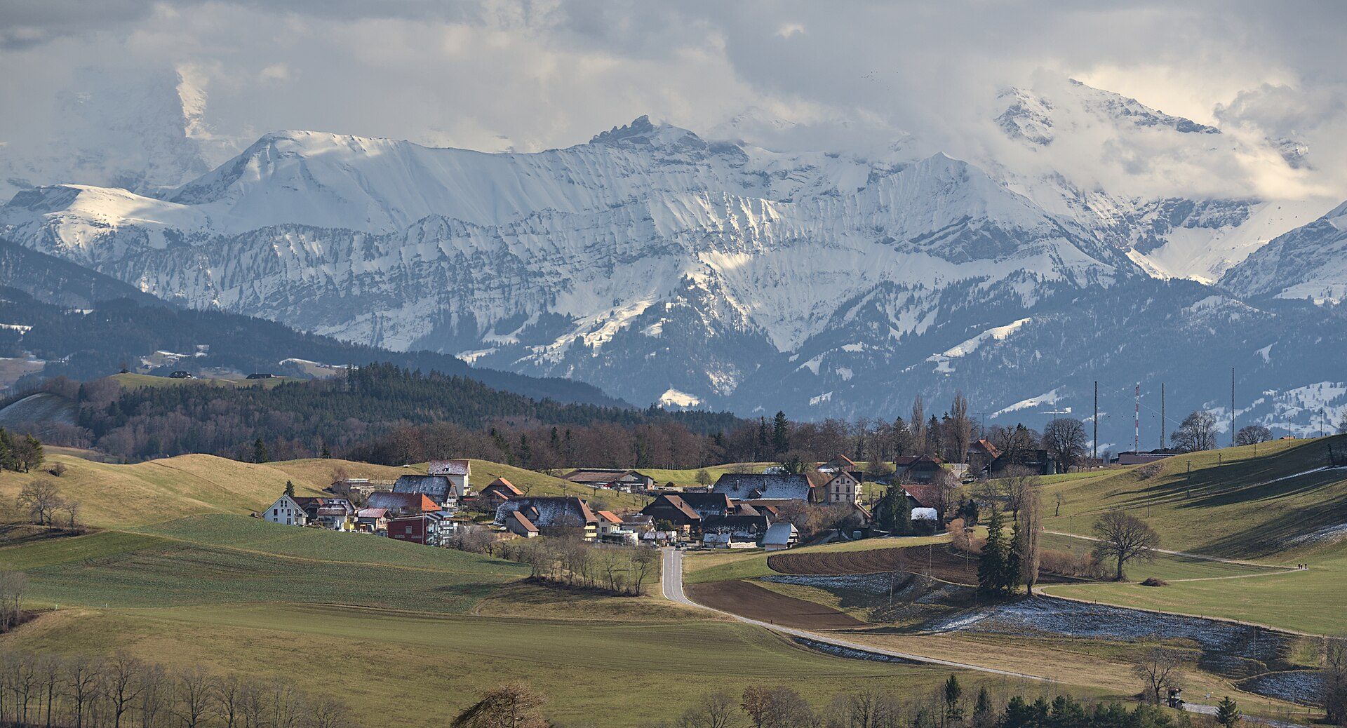
The federal city's hill country, well short of the high Alps.

- Elevation
- 540 m
- Nearest station
- Bern
The capital on the Aare
Bern, the de facto capital of Switzerland and officially its federal city, sits on the Swiss Plateau, the lower, gentler band of the country that lies between the Jura and the Alps proper, built on a bend of the river Aare 20km north of the Bernese Alps. The Old Town, whose wooden buildings were replaced after a fire in 1405 by half-timbered houses and then by the sandstone that characterises it, has been a UNESCO World Heritage Site since 1983. The two mountains closest to the city are the Gurten (864m) and the Bantiger (947m); this is not high mountain country, and the region makes no pretence otherwise: the walking here is about hills, meadows and farmland rather than glaciers.
Gantrisch and the Emmental
South of the city, the Gantrisch Regional Nature Park lies between Bern, Thun and Fribourg, rising from 510m to 2,239m at the Schafberg. East of Bern, the Emmental, a hilly landscape on the right bank of the Aare, gives its name to the cheese and is mostly dairy farming country, with meadows and pasture and forest between; tourism has had less impact there than on other parts of Switzerland. The high point of the Napfgebiet, the hilly region between Bern and Lucerne, is the Napf (1,408m), from where the ridge walk, which BLS gives as 13.3km from the Lüderenalp over the summit to the Mettlenalp, with a train to Langnau and bus 285 to the start and bus 284 back from the end, has a mountain panorama along the whole route, BLS says.
Walking and access
Walking near Bern is on hills and pre-Alpine ground: the Gurten and the Bantiger are the nearest summits, the Napf reaches 1,408m, and only the Gantrisch park rises above 2,000m. The Napf route can be done without a car, since BLS runs the train to Langnau and the buses 285 and 284 serve the two ends. The region suits a stopover between the higher regions elsewhere in Switzerland better than a dedicated mountain trip.