Graubünden (Grisons)
Switzerland's largest canton, and its only trilingual one.

- Elevation
- 585 m
- Nearest station
- Chur
Switzerland’s biggest, emptiest canton
Graubünden, Grisons in French and English, Grischun in Romansh, is Switzerland’s largest canton by area and its most sparsely populated, a mountainous southeastern block bordering Austria, Liechtenstein and Italy. It is also the country’s only trilingual canton: German is spoken across most of it, Italian in four valleys in the south, Bregaglia, Poschiavo, Mesolcina and Calanca, and Romansh, Switzerland’s fourth national language and a direct descendant of the Latin spoken here under Rome, survives in parts of the Engadin and the Surselva. Two of Europe’s rivers rise within the canton: the Rhine, from a small lake called the Tomasee above the village of Tschamut, and the Inn, near the Maloja Pass, which flows the length of the Engadin before leaving Switzerland for Austria and the Danube.
Piz Bernina and the Engadin
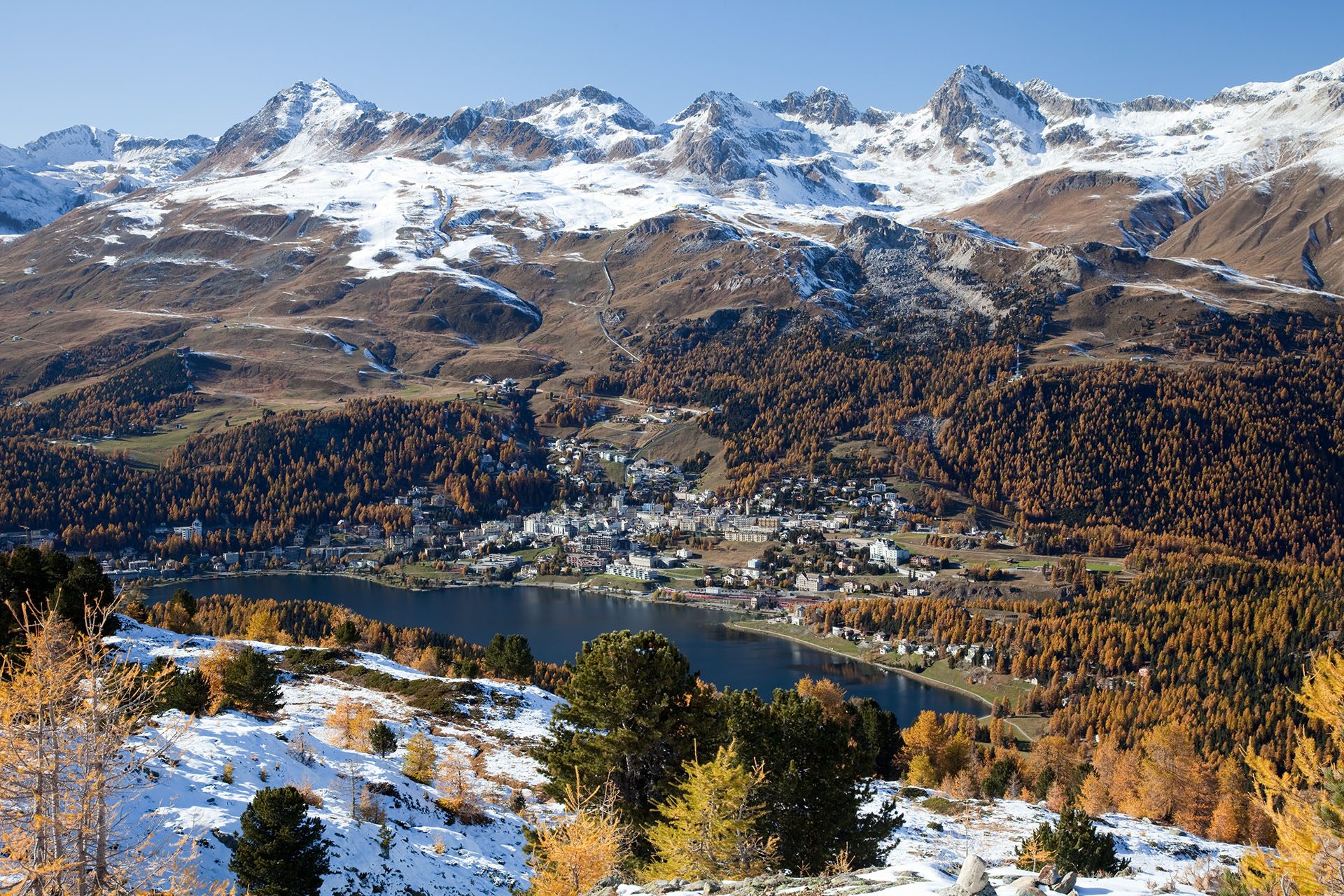
The Engadin, the valley of the upper Inn, runs for around 100km from the Maloja Pass toward the Austrian border and is the valley of St. Moritz and of two Romansh idioms, Putèr in the Upper Engadine and Vallader in the Lower; the canton’s other resorts include Davos, at 1,560m one of the highest towns in Europe, Klosters and Arosa. Above St. Moritz and Pontresina rises Piz Bernina (4,049m), the only peak over 4,000m in the entire Eastern Alps and the highest point in the canton. South of the main ridge, the Bregaglia and Poschiavo valleys drop into Italian-speaking terrain, and in Val Poschiavo and the Mesolcina the milder climate allows chestnut and maize farming.
Rail and the national park
Graubünden’s mountains produced one of the more improbable engineering feats in the Alps: the Rhaetian Railway’s Albula line, opened in 1904 and listed by UNESCO at 67km with 42 tunnels and covered galleries and 144 viaducts and bridges, and its Bernina line, 61km long and the highest railway crossing in Europe, together a UNESCO World Heritage Site since 2008, connecting Thusis to Tirano in Italy through and over the mountains rather than around them. Near Zernez, the Swiss National Park, founded in 1914, is the oldest national park in the Alps and one of the strictest: no paths off the marked trails, no dogs even on a lead, nothing picked or removed, all in service of the park’s stated aim since its founding of allowing wilderness.
Season and access
Trails at higher altitudes may remain snowbound until the summer, MySwitzerland notes, while the lower Alpine regions open for walking earlier. Chur, the cantonal capital, which calls itself the oldest town in Switzerland and has settlement finds back to the Stone Age, is the main rail gateway, with narrow-gauge lines fanning out from it into the Engadin and the Surselva. The Swiss National Park’s visitor centre at Zernez has a railway stop, Zernez Staziun, and a bus stop of its own, the park says.
Getting here
The Flüela and Albula passes into the Engadin close for winter; the Vereina and Albula rail tunnels beneath them run year-round.