Ticino
South of the Gotthard, Italian-speaking, and mild year-round.

- Elevation
- 241 m
- Nearest station
- Bellinzona
South of the Gotthard
Ticino is Switzerland’s southernmost canton and its only one where Italian is the sole official language, a product of geography as much as history: the Alps shield it from northern European weather, and nearly all of the canton drains toward the Po rather than the Rhine. Access from the rest of Switzerland has historically meant crossing the Alps, at the Gotthard Pass (2,106m, between Andermatt and Airolo) or the San Bernardino Pass (2,066m, between Thusis and Bellinzona). Since 2016 the Gotthard Base Tunnel, 57km long and the longest railway tunnel in the world, has bypassed most of the older Gotthard railway line over the mountain, giving Ticino a faster rail link to the rest of Switzerland.
Bellinzona and the lakes
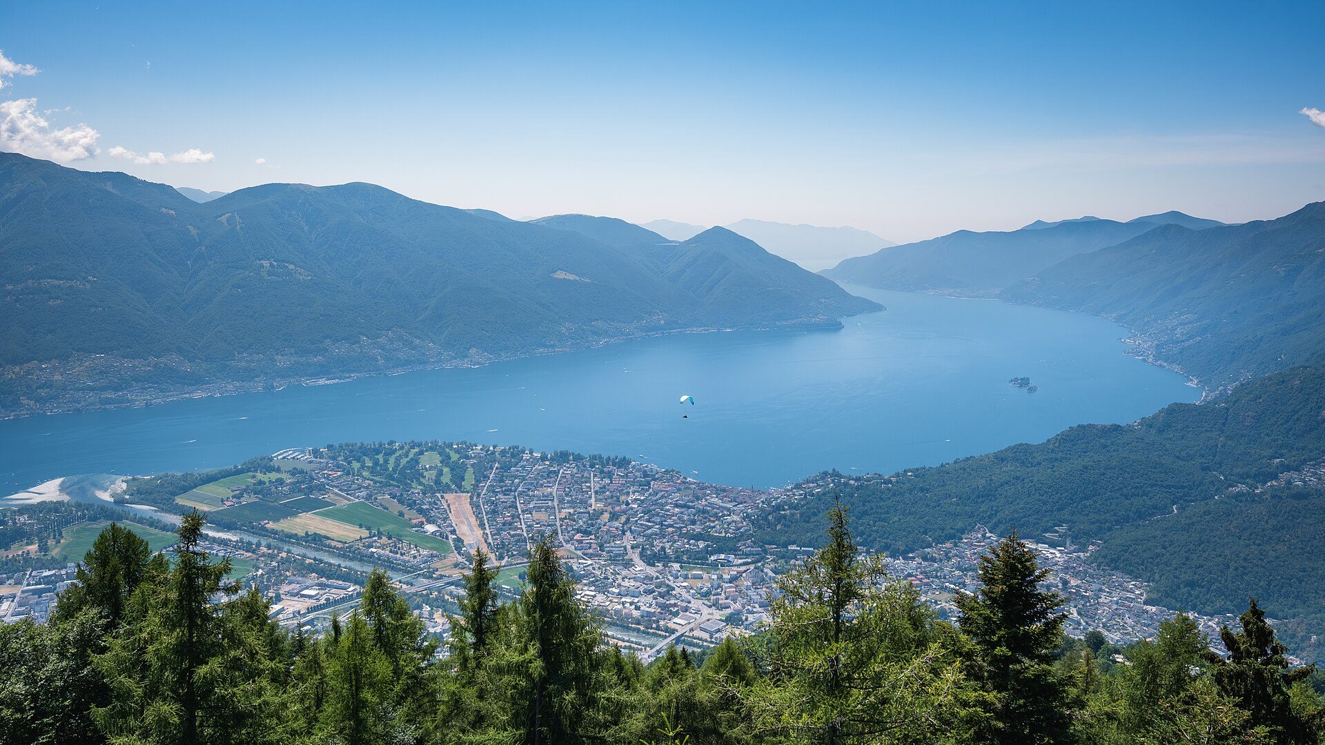
Bellinzona, the cantonal capital, sits where the passes funnel into the Ticino valley, and its Three Castles, Castelgrande, Montebello and Sasso Corbaro, built to control exactly that chokepoint, have been a UNESCO World Heritage Site since 2000. South of Bellinzona the Alps lose height quickly, and the canton’s southern tip, the Sottoceneri, takes in the Swiss shore of Lake Lugano; the Swiss end of Lake Maggiore, around Locarno, belongs to the Sopraceneri to the north, and both lakes are shared with Italy. Lugano and Locarno, the two lakeside towns, sit in a canton that sets itself apart from the rest of the country by its warm climate, culture and gastronomy, and Monte San Salvatore (912m), reached from Lugano by a funicular running since 1890, rises above Lake Lugano and the city.
Walking
Ticino’s elevations run from Lake Maggiore at 195m to the high Alps, so the walking varies widely within a short distance. The Verzasca valley, north of Locarno, has at Lavertezzo the Ponte dei Salti, a seventeenth-century double-arched stone footbridge over the Verzasca, while the railway through the Centovalli, completed in 1923, runs from Locarno to Domodossola in Italy. Higher routes exist too, particularly around Monte Generoso (1,701m) on the Italian border, but Ticino’s distinction is its season: Ticino Turismo promotes excursions on its trail network all year round, in a climate noticeably warmer than the rest of Switzerland’s. The Valle Verzasca is a PostBus valley: line 321 runs from Locarno station up to Sonogno.
Getting here
The Gotthard and San Bernardino passes close under snow each winter; the road tunnels beneath both run year-round.