The Cobbler (Ben Arthur) from Succoth
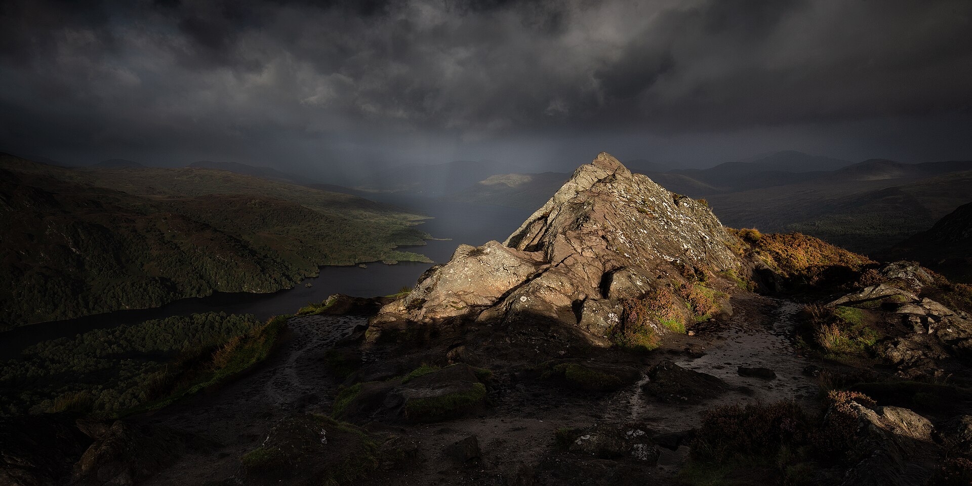
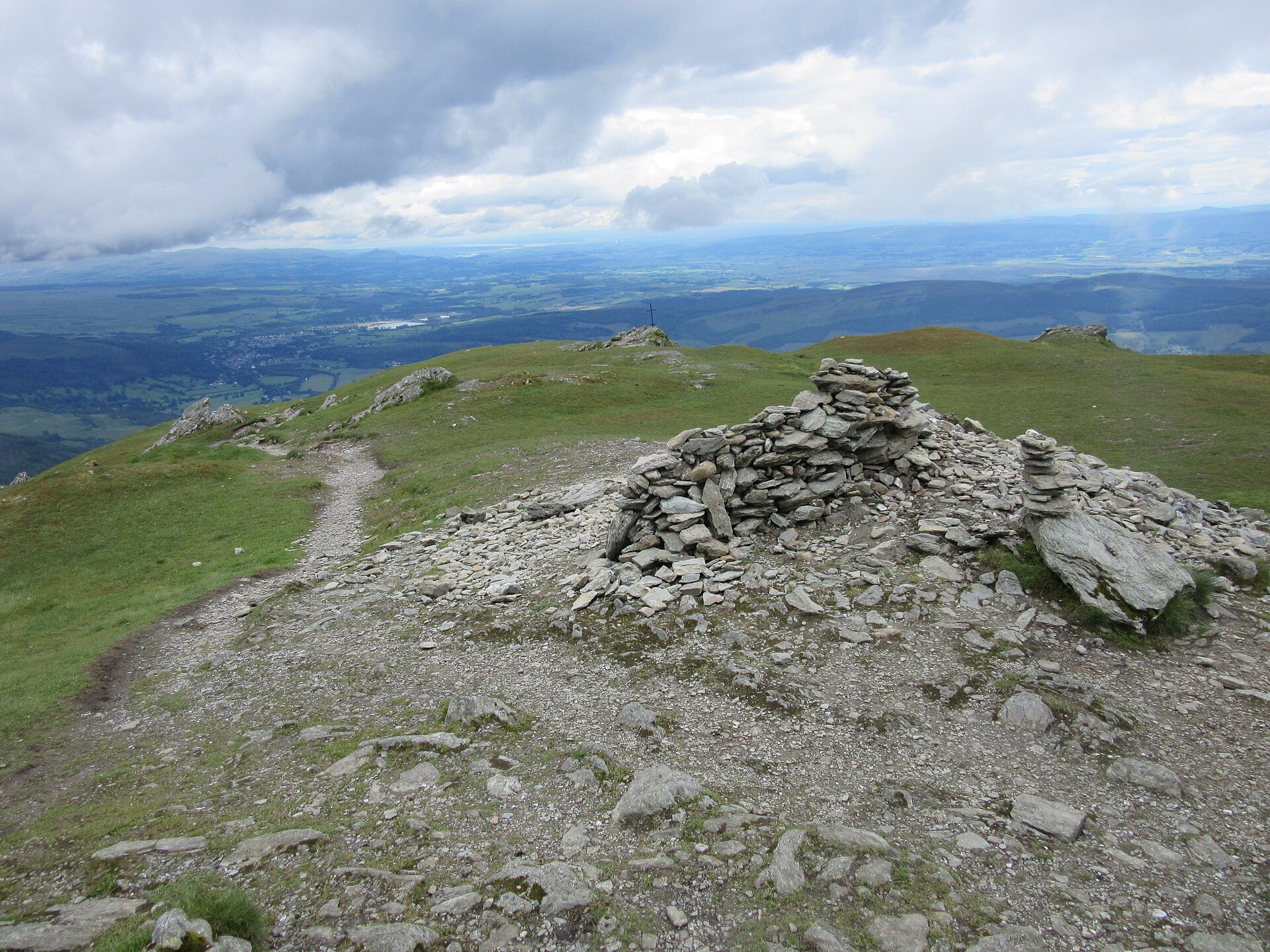
The three-peaked Corbett above Loch Long, climbed from Succoth on a built path, with a scramble through a rock pinnacle to reach the true summit.
- 11 km
- 920 m up
- 5 hr
- Hard
Gaelic: An t-Àrchar
At Loch Long's head, with a station and the Cobbler near.
Arrochar and Tarbet, on the West Highland Line from Glasgow Queen Street, at the Arrochar end of Tarbet and 1.9 miles by road from the Succoth car park
7
39
The Loch Lomond and The Trossachs National Park describes Arrochar as a rural settlement at the head of Loch Long, among the Arrochar Alps, and as popular with mountaineers because of its road and rail links. The park authority also records the Cobbler Club of the late 1800s as probably the earliest mountaineering club in the region. The case for sleeping here is that it is the one base on this site where a serious mountain day does not need a car: Walkhighlands lists Citylink buses to Arrochar and local buses to Succoth, and the railway station is at the Arrochar end of Tarbet.
The Cobbler is the reason. It is a Corbett of 884m with a rock pinnacle for a summit, and the park authority calls Ben Arthur, its other name, easily the most distinctive of the Arrochar Alps. It also says all the mountains in the range are for experienced walkers only, and names Ben Ime as the tallest, at 3,318ft by its figure, or about 1,011m. The Alps hold more hills than this site has pages for, so a week here would outrun the listings before it outran the mountains.
The Cobbler starts at the Succoth car park off the A83, just west of the village. Walkhighlands says the path begins on the opposite side of the road from the car park, passing a carving of a fox, and the route planner puts the car park 1.9 miles by road from Arrochar and Tarbet station. The circuit is 11km with 920m of ascent, with a scramble through the pinnacle to reach the true summit, so the day does not need a car, but it does need a head for heights if it goes to the true summit.
Ben Lomond is a different matter. Walkhighlands notes that its summit shows from the zig-zags of the Cobbler path, and its start at Rowardennan is on the far shore of Loch Lomond. By road that is 36.7 miles and an hour and three minutes by Google Maps’ route through Drymen and Balmaha. Walkhighlands lists no bus to the start, but gives a summer ferry from Tarbet Pier across the loch, with buses to Tarbet from Glasgow and Balloch. The sources read for this page give no ferry timetable; the operator publishes one. The walk is 12km with 990m of ascent.
Arrochar and Tarbet station opened on 7 August 1894 on the West Highland Railway, according to Wikipedia, and has trains to Oban, Mallaig and Glasgow Queen Street. ScotRail gives about 1 hour 17 minutes from Queen Street. The island platform is reached only by a subway, and Wikipedia records no step-free access, which matters with heavy luggage.
By road, the A83 west of Arrochar climbs through Glen Croe to the Rest and Be Thankful, over 240m above sea level, which BEAR Scotland describes as susceptible to landslides because of its soil, slopes and Argyll’s climate. Its Old Military Road diversion takes 15 to 20 minutes under convoy control against three to six on the A83, and a longer diversion can add up to 60 miles. BEAR Scotland advises checking Traffic Scotland before setting off rather than relying on a satnav.
Walkhighlands names the Succoth car park off the A83, just west of the village, as the start for the Cobbler and does not state a charge; Argyll and Bute Council lists its Arrochar Glenloin car park as charged.
The A83 and A814 serve Arrochar and the A82 runs through Tarbet; west of the village the A83 climbs to the Rest and Be Thankful, where landslides in 2020 displaced 16,000 tonnes and BEAR Scotland uses the Old Military Road as a convoy-controlled diversion.
The three-peaked Corbett above Loch Long, climbed from Succoth on a built path, with a scramble through a rock pinnacle to reach the true summit.
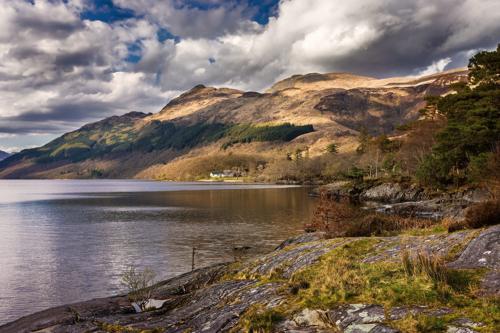
The most southerly Munro, climbed from Rowardennan on Loch Lomond's shore, with an optional, steeper descent by the Ptarmigan ridge.
A short, steep hill above Loch Achray, known locally as the Trossachs' mountain in miniature, with a summit view out of proportion to its height.
The Trossachs' most prominent summit above Callander, climbed on a constructed path with a rougher return through Stank Glen.
A two-Munro ridge circuit round the Cruachan reservoir, climbed from the railway station by the dam path, with rocky ridge walking and 1,376m of ascent.
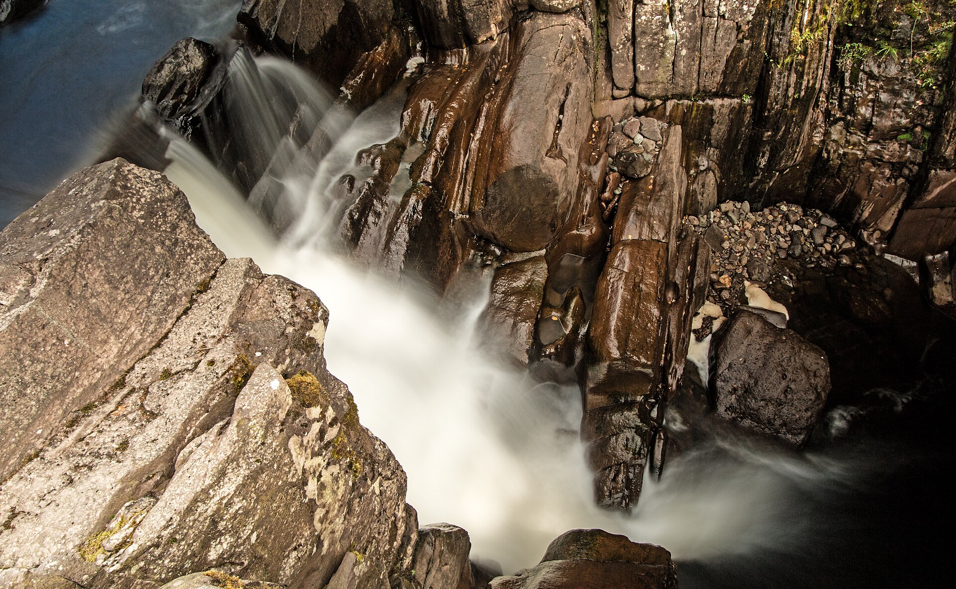
A short, easy woodland walk from Callander to a series of falls on the Keltie Water, crossed by a footbridge above a rocky gorge.
Booking links on these earn us a commission. The price you pay is the same either way.
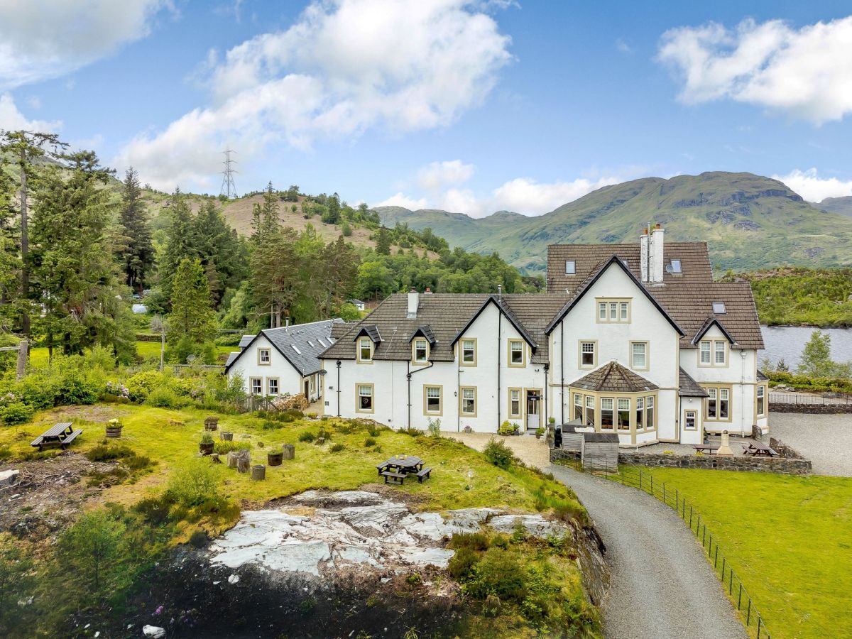
Tarbet, near Arrochar, Central Scotland
Sleeps 10 · 5 beds
from £2,969 / week
Check dates for The Walled Garden - Arrochar (opens the booking site in a new tab)Checked 8 Oct
Stronachlachar, Central Scotland
Sleeps 8 · 4 beds
from £1,022 / week
Check dates for Wattie Cottage - Loch Katrine (opens the booking site in a new tab)Checked 8 Oct
Stronachlachar, Central Scotland
Sleeps 5 · 3 beds
from £922 / week
Check dates for Scott Cottage - Loch Katrine (opens the booking site in a new tab)Checked 8 Oct
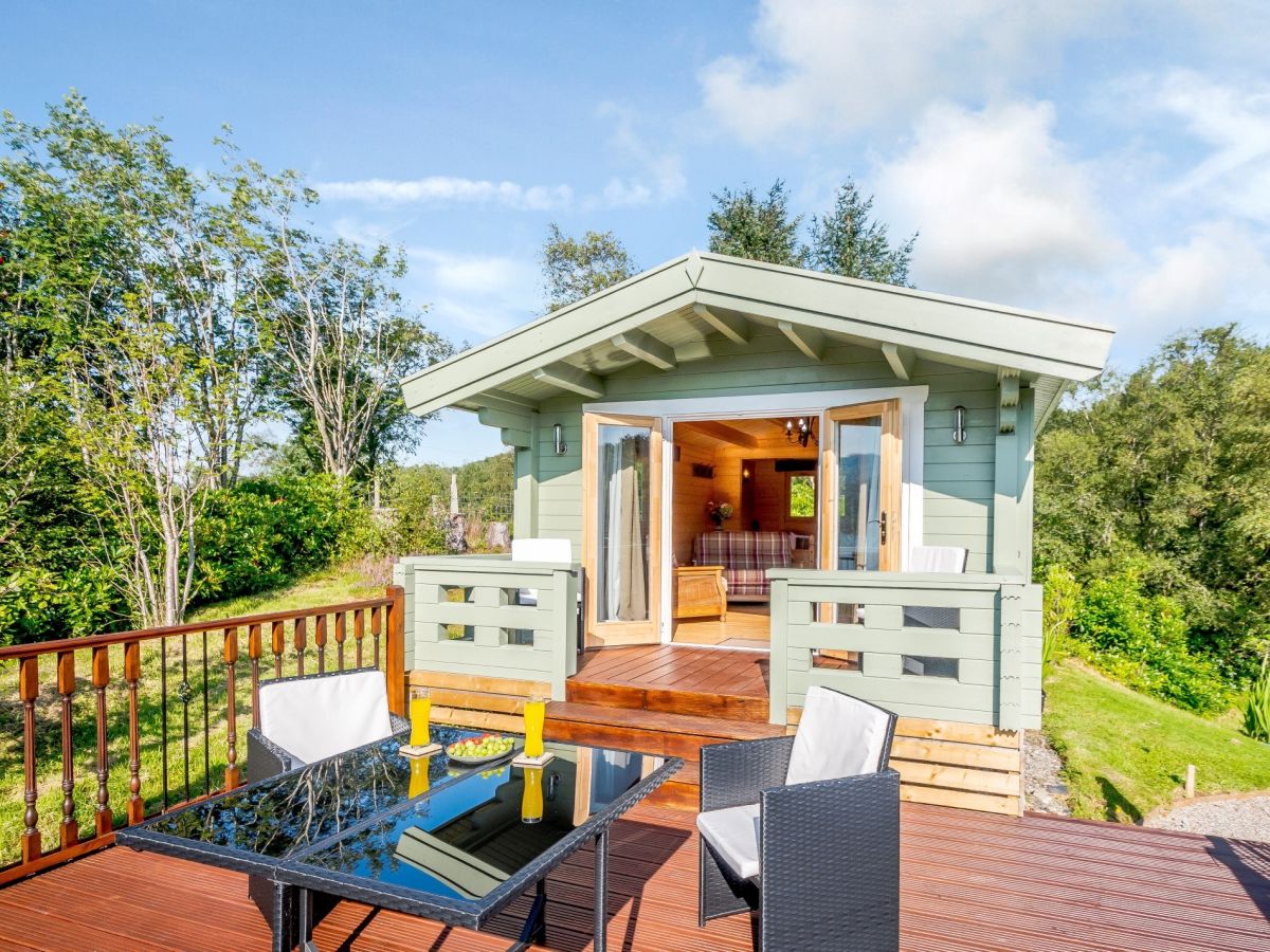
Garelochhead, near Helensburgh, Central Scotland
Sleeps 2 · 1 bed
from £489 / week
Check dates for Birchbank Loch View Lodge (opens the booking site in a new tab)Checked 7 Oct
Lochgoilhead, near Carrick Castle, Central Scotland
Sleeps 9 · 5 beds
from £1,975 / week
Check dates for Rhumhor House (opens the booking site in a new tab)Checked 8 Oct
Cashel, near Rowardennan, Central Scotland
Sleeps 6 · 3 beds
from £1,119 / week
Check dates for Clarinnes Cottage (opens the booking site in a new tab)Checked 8 Oct
Lochgoilhead, near Carrick Castle, Central Scotland
Sleeps 8 · 4 beds