
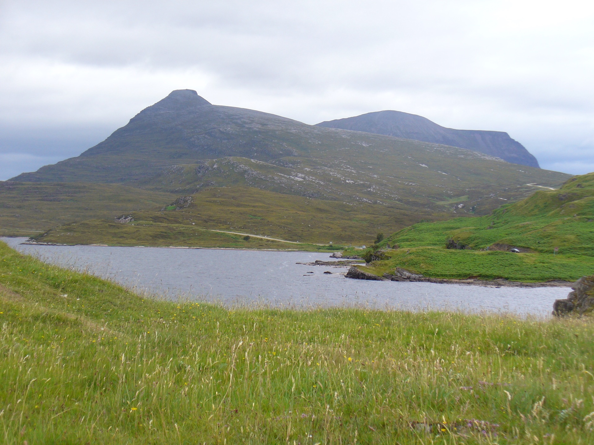
Quinag, the three Corbetts
A Y-shaped sandstone range in Assynt with three Corbetts on its crest, cared for by the John Muir Trust, 14km and 1,130m of ascent from the A894.
Hard
- 14 km
- 1,130 m up
- 8 hr
Gaelic: An Caolas Cumhang
A hamlet at the narrows, facing Quinag's northern buttresses.
Lairg
69 km by road
There is no station in Assynt; Lairg, on the Far North Line, is the nearest by road, and bustimes.org lists no bus service that stops at Kylesku.
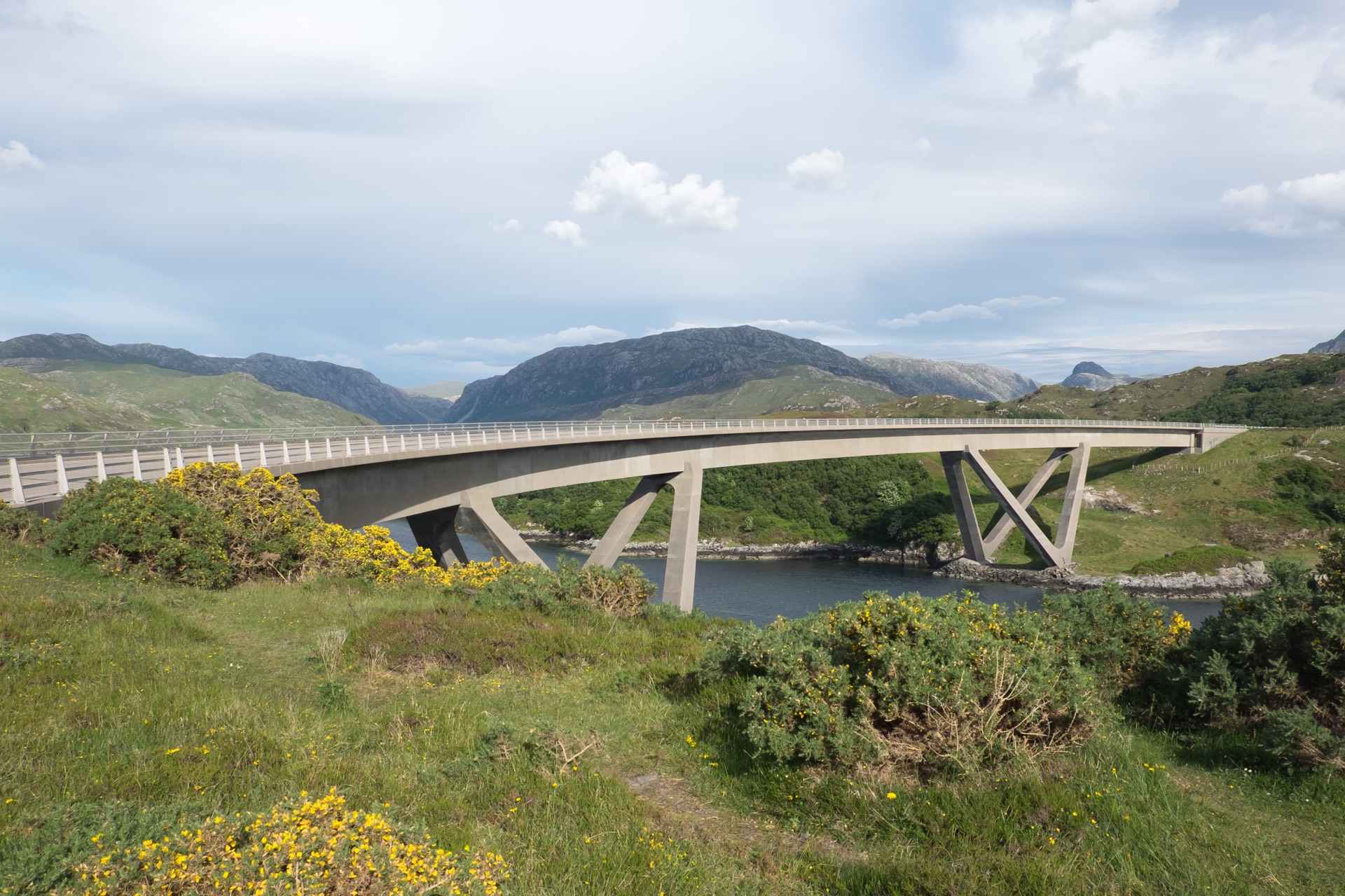
Kylesku takes its name, Wikipedia says, from the Gaelic for the narrow strait where Loch Glencoul and Loch Glendhu join and run out to Loch a’ Chàirn Bhàin. The Gazetteer for Scotland calls it a small fishing hamlet with a hotel, and the hotel began as a coaching inn in 1680. Cattle bound for central Scotland had to swim the narrows, Wikipedia records, and a ferry, free for much of its life, ran until the bridge replaced it. Ove Arup and Partners designed the bridge for Highland Regional Council, the Highland Historic Environment Record says; the Queen opened it on 8 August 1984, and in 2019 Historic Environment Scotland listed it at Category A, the first listing whose statutory address carries both an English and a Gaelic name. Across Loch Glencoul, the British Geological Survey points out, the Glencoul Thrust shows ancient Lewisian gneiss sitting on top of younger Cambrian quartzite, a fault the Scottish Geology Trust says Charles Callaway first recognised in the early 1880s.
The case for sleeping here is Quinag. Its two great northern buttresses dominate the skyline from the road over the bridge, Wikipedia notes, and the John Muir Trust, which has cared for the hill since 2005, also owns ground and lodges at Kylesku. The case against is everything else. Neither Wikipedia nor the Gazetteer names a shop, the Trust’s own lodges send guests to Lochinver, Drumbeg and Scourie for groceries, the hotel advises filling up with fuel in Inverness, Scourie or Ullapool, and bustimes.org lists no bus service that stops here. Lochinver, 18 miles away by road, is the Assynt base with shops and the Suilven path at its door.
No Walkhighlands route starts in the hamlet. Quinag starts at the Trust’s car park off the A894, about 5 miles south, where Walkhighlands gives the round of three Corbetts as 14km and 1,130m of ascent in seven and a half to eight and a half hours, with Spidean Coinich alone and back as the short version. Heading for the Scottish Hills lists the Trust’s ground on Quinag with no stalking issues; across the bridge, Reay Forest Estate gives stalking from early July to 20 October, with none on Sundays.
Eas a’ Chual Aluinn, which the Gazetteer gives as Britain’s highest waterfall at 201m, has two approaches. Walkhighlands’ walk starts at a parking area on a bend of the A894 near Loch na Gainmhich: 9.75km and 521m, very boggy near the start and rocky and rough after, to a viewpoint near the top of the falls, and it warns that the lip is a dangerous place from which there have been fatalities. The other is by boat: North West Sea Tours sails from the harbour in front of the hotel through Loch Glendhu and Loch Glencoul, and Walkhighlands notes that the boats cannot get close, so binoculars are still needed. Suilven is a drive to Lochinver and a full day beyond it.
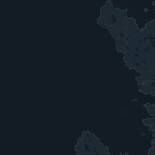
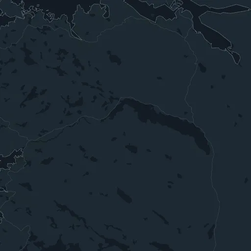
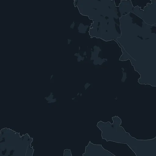
There is no station in Assynt; Lairg, on the Far North Line, is the nearest by road, and the hotel’s own directions start from Inverness and the A835 to Ullapool, then the A837 and the A894. The A894 carries the North Coast 500 over the bridge, and the hamlet is down a slope off the main road at the old ferry slipway.
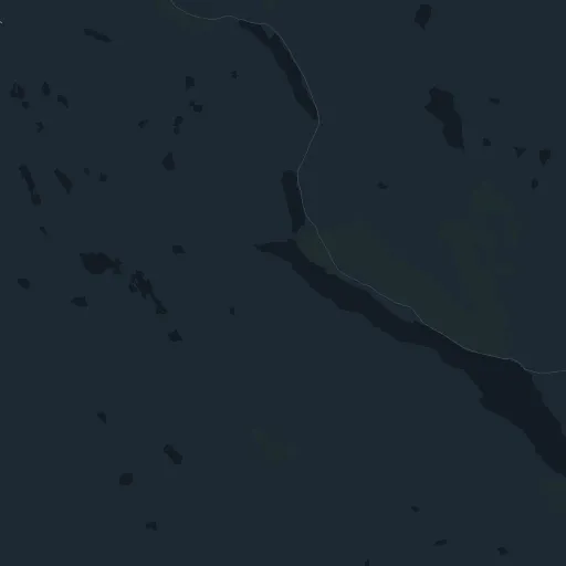
The John Muir Trust's car park for Quinag is off the east side of the A894 south of Kylesku; the Eas a' Chual Aluinn walk starts from a signed parking area on a bend of the same road near Loch na Gainmhich.
The A894 crosses the narrows on the Kylesku Bridge between Assynt and Scourie; the hamlet is down a slope off the road at the old ferry slipway.

A Y-shaped sandstone range in Assynt with three Corbetts on its crest, cared for by the John Muir Trust, 14km and 1,130m of ascent from the A894.
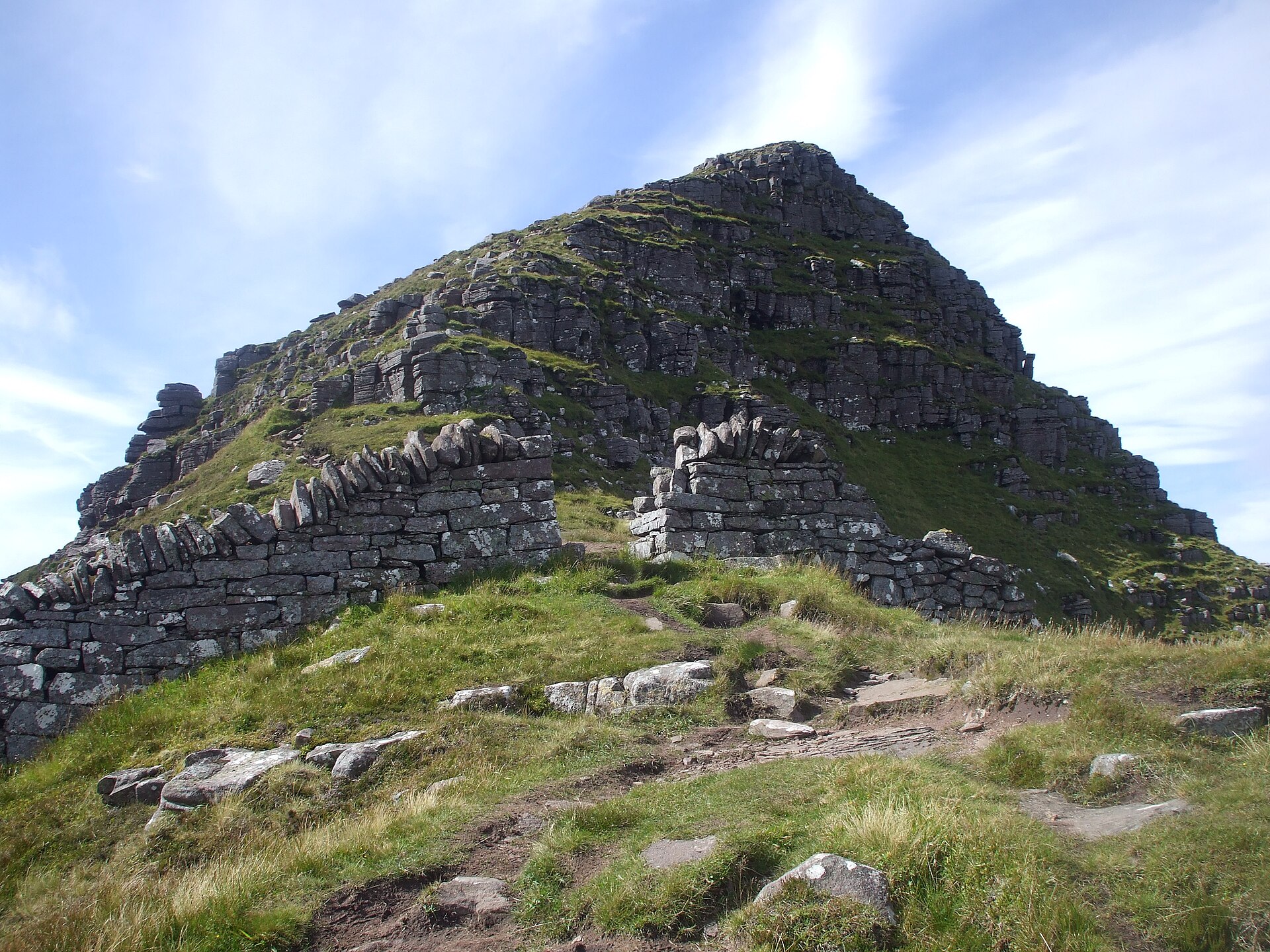
A sandstone tower above Assynt's loch-scattered moor, climbed on a long there-and-back path from Glencanisp on land the Assynt community bought in 2005.
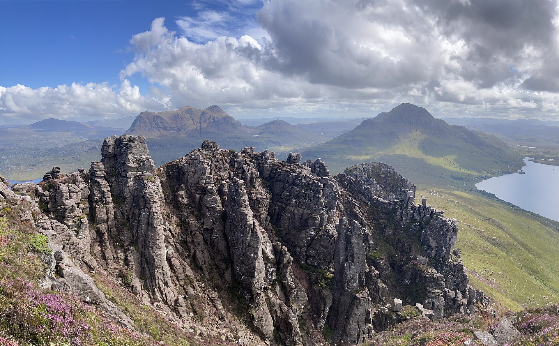
A short, steep sandstone hill with a serrated ridge of pinnacles above Loch Lurgainn in Coigach.
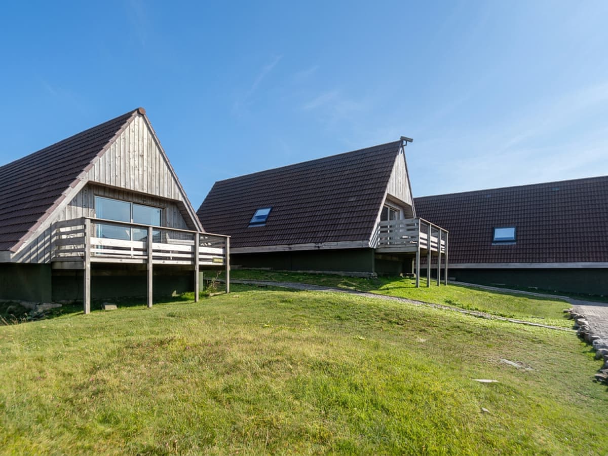
Kylesku
Sleeps 5 · 3 beds
Nearest walk: Quinag, the three Corbetts, 6km
from £1,612 / week
Checked 1 Nov
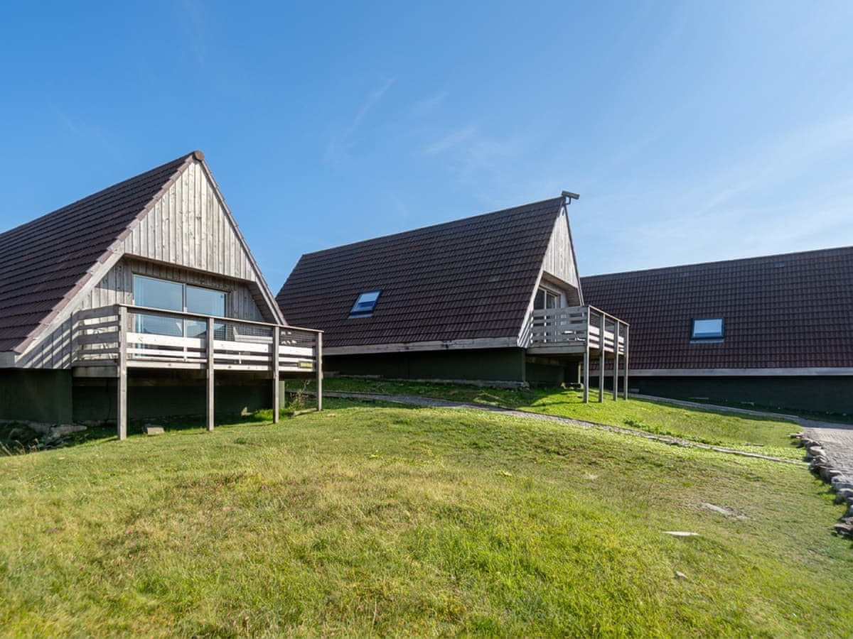
Kylesku
Sleeps 5 · 3 beds
Nearest walk: Quinag, the three Corbetts, 6km
from £1,612 / week
Checked 1 Nov
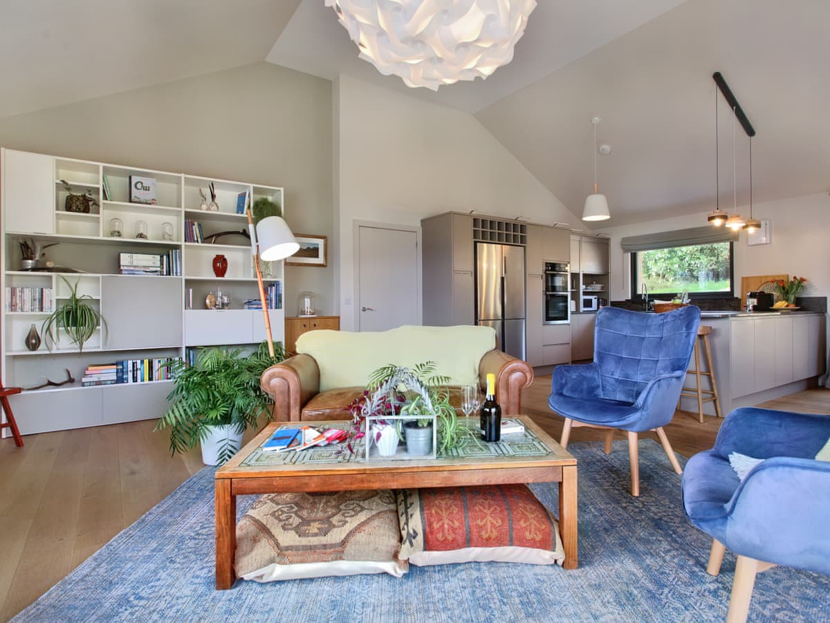
Lochinver
Sleeps 4 · 2 beds
Nearest walk: Quinag, the three Corbetts, 5.6km
from £1,536 / week
Checked 1 Nov