France
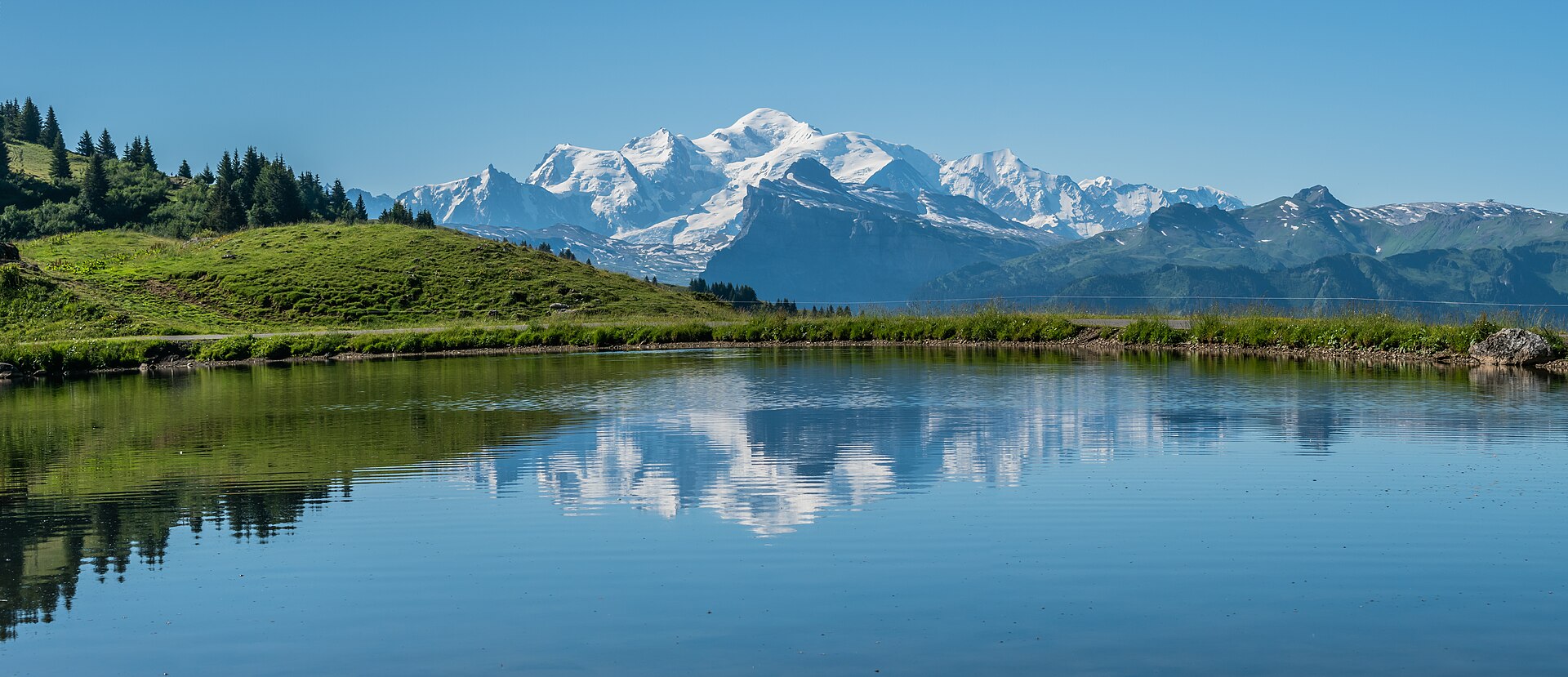
Mont Blanc from five villages, by lift, rack railway and on foot.

- High point
- Mont Blanc
- 4807 m
- Nearest station
- Saint-Gervais-les-Bains-Le Fayet
- Bases
- 5
The mountain and its height
Mont Blanc stands on the border between France and Italy, and its height is not fixed. Since 2001 the Chambre départementale des géomètres-experts de la Haute-Savoie has measured it regularly, and on 14 October 2026, at Saint-Gervais, it announced 4,807.47m: 1.88m higher than in 2023, and 27cm above the historic measurement of 1894. What the surveyors are measuring is mostly the cap of snow and ice on top of the rock, Lyon Capitale reported, which is why the figure rises and falls. The first recorded ascent, by Jacques Balmat and the doctor Michel-Gabriel Paccard on 8 August 1786, is traditionally taken as the start of modern mountaineering.
Five villages under it
On the French side, the massif is walked from the Chamonix valley and its neighbours to the west. The Chamonix valley runs from the Col de Balme, on the Swiss border above Argentière, down through Chamonix to Les Houches; below it lie Le Fayet and Saint-Gervais-les-Bains, where the railway up the valley begins. Megève sits on its own col above the Arve valley, with Combloux close by. On the north side of the Chamonix valley are the Aiguilles Rouges, part of them inside a national nature reserve of 3,276 hectares created in 1974, where the 2010 decree that governs it bans dogs, lead or no lead; on the south side is the Mont Blanc chain itself. The Tour du Mont Blanc, roughly 165km through France, Italy and Switzerland, has Les Houches as one of its usual starts.
Getting around
A car is optional in the Chamonix valley. The metre-gauge railway from Saint-Gervais-les-Bains-Le Fayet to Vallorcine runs the length of it, 36.5km, and on to Martigny in Switzerland as the Mont-Blanc Express, and since 2005 travel on it between Servoz and Vallorcine has been free for anyone with the valley’s guest card. The Tramway du Mont-Blanc climbs from Le Fayet towards the Bionnassay glacier. Lifts do much of the climbing: the Aiguille du Midi to 3,842m, the Brévent, La Flégère, the Montenvers railway to the Mer de Glace. The Mont Blanc Tunnel, 11.6km long and open since 19 July 1965, links Chamonix with Courmayeur in Italy.
Season
Summer is the walking season here, because that is when the lifts and the high railway run for walkers: the Compagnie du Mont-Blanc opens its Balme lifts in summer for hiking, and the Tramway du Mont-Blanc reaches the Nid d’Aigle in summer only. Each operator publishes its own dates, and they change from one year to the next.
Where to base yourself
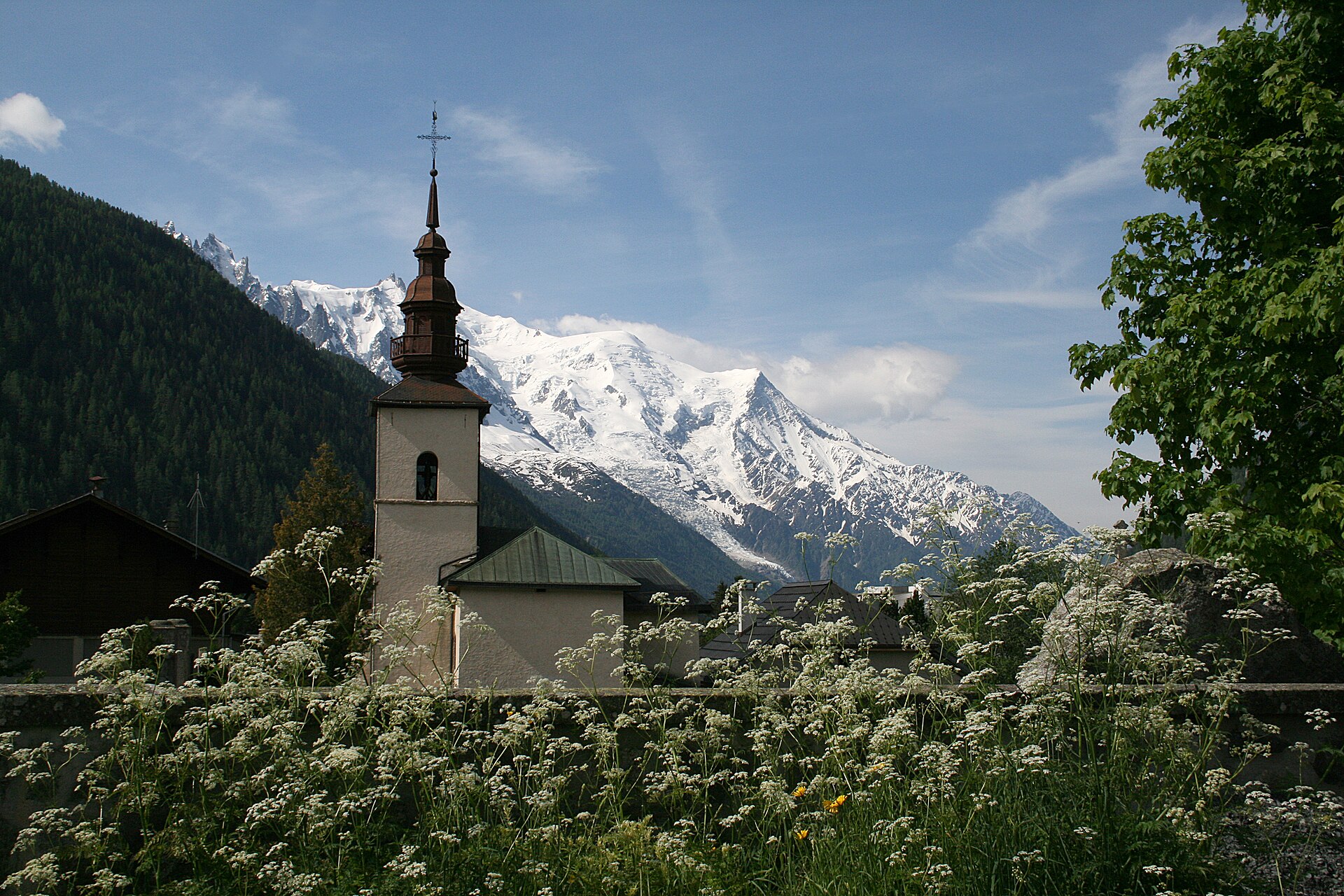
Argentière
The head of the valley, with the Swiss border walkable from Le Tour.
28 to stay
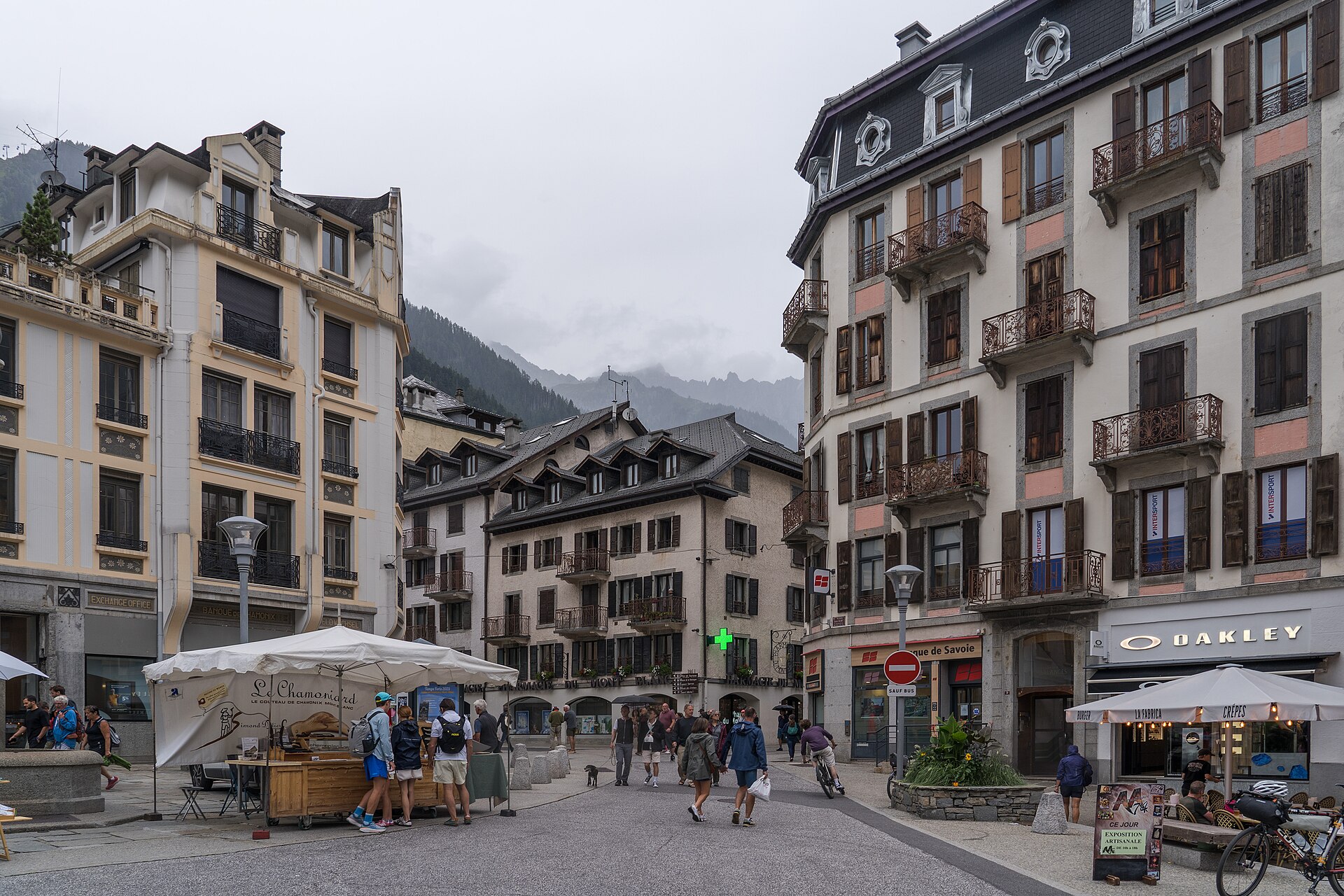
Chamonix
Three ways up to high ground without moving the car.
38 to stay
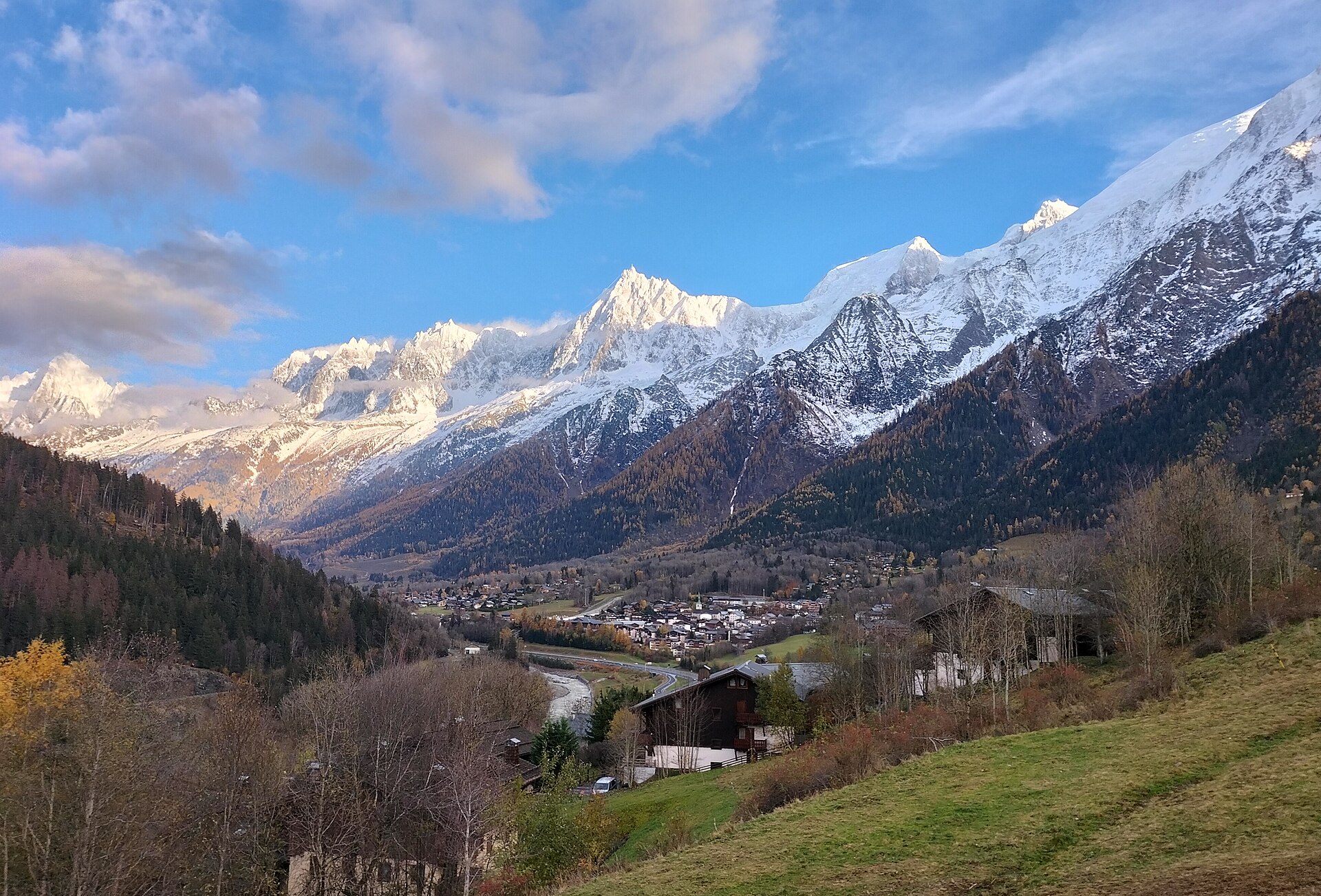
Les Houches
Where the Tour du Mont Blanc begins, with two lifts from the village.
30 to stay
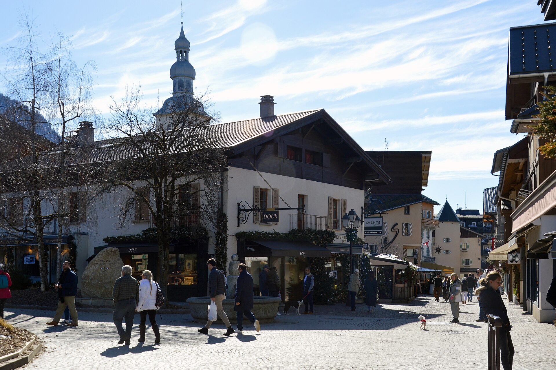
Megève
Mont Blanc across the valley, and Mont Joly from the town.
59 to stay
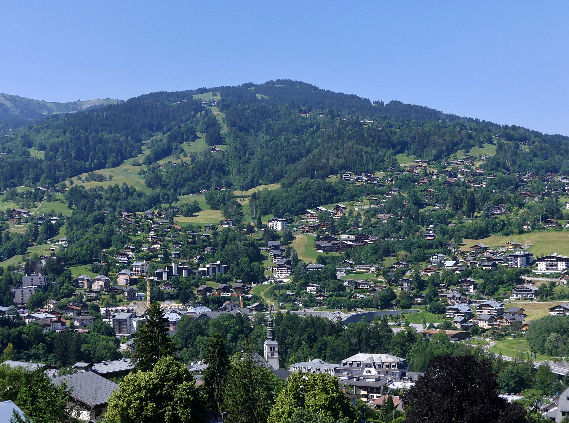
Saint-Gervais-les-Bains
The spa town on the rack railway to the Nid d'Aigle.
5 to stay