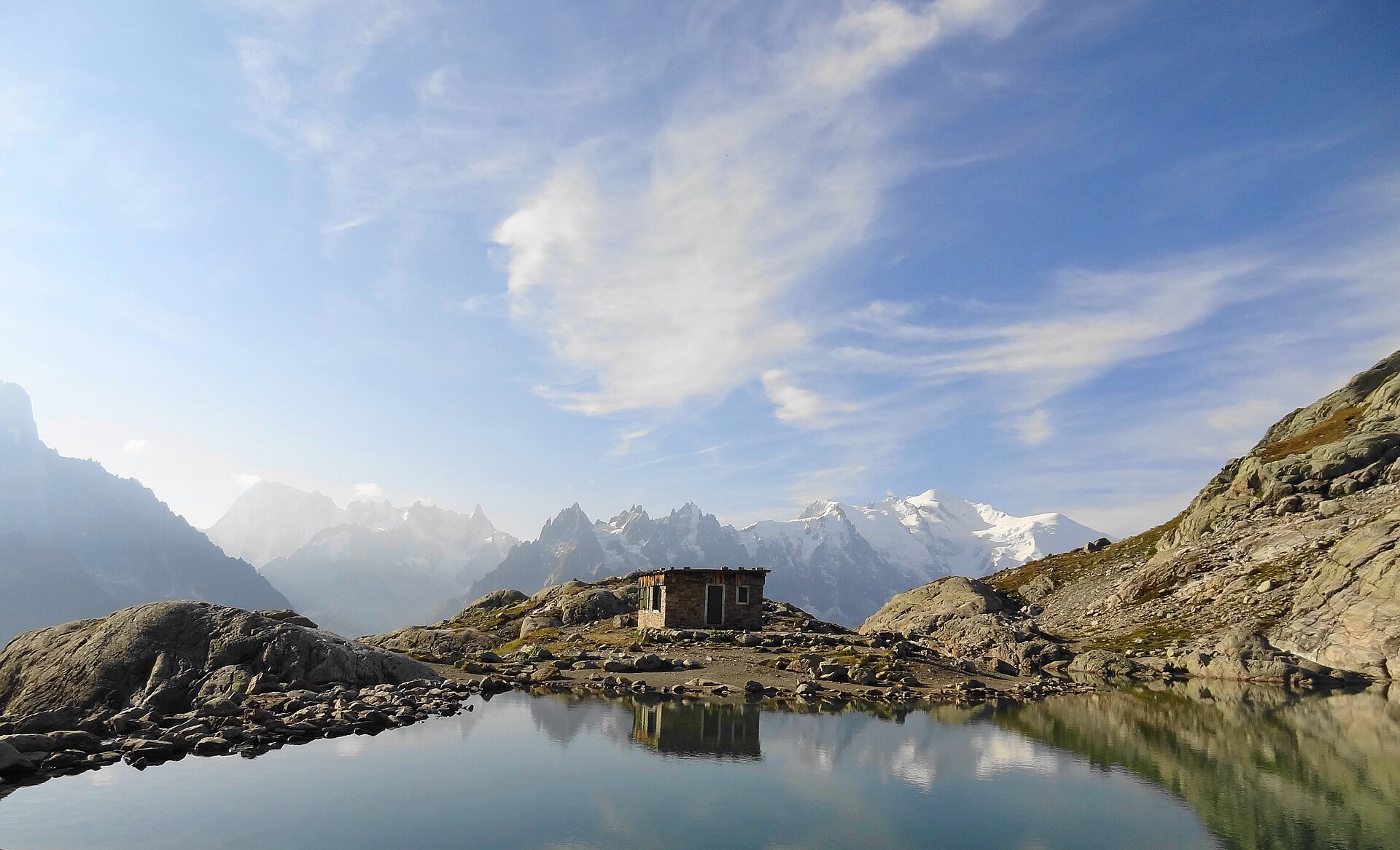
Lac Blanc from La Flégère
A 7km walk from the top of the Flégère gondola to Lac Blanc at 2,352m, in the Aiguilles Rouges reserve, facing the Mont Blanc chain.
- 7 km
- 500 m up
- 3 hr
- Hard
The head of the valley, with the Swiss border walkable from Le Tour.
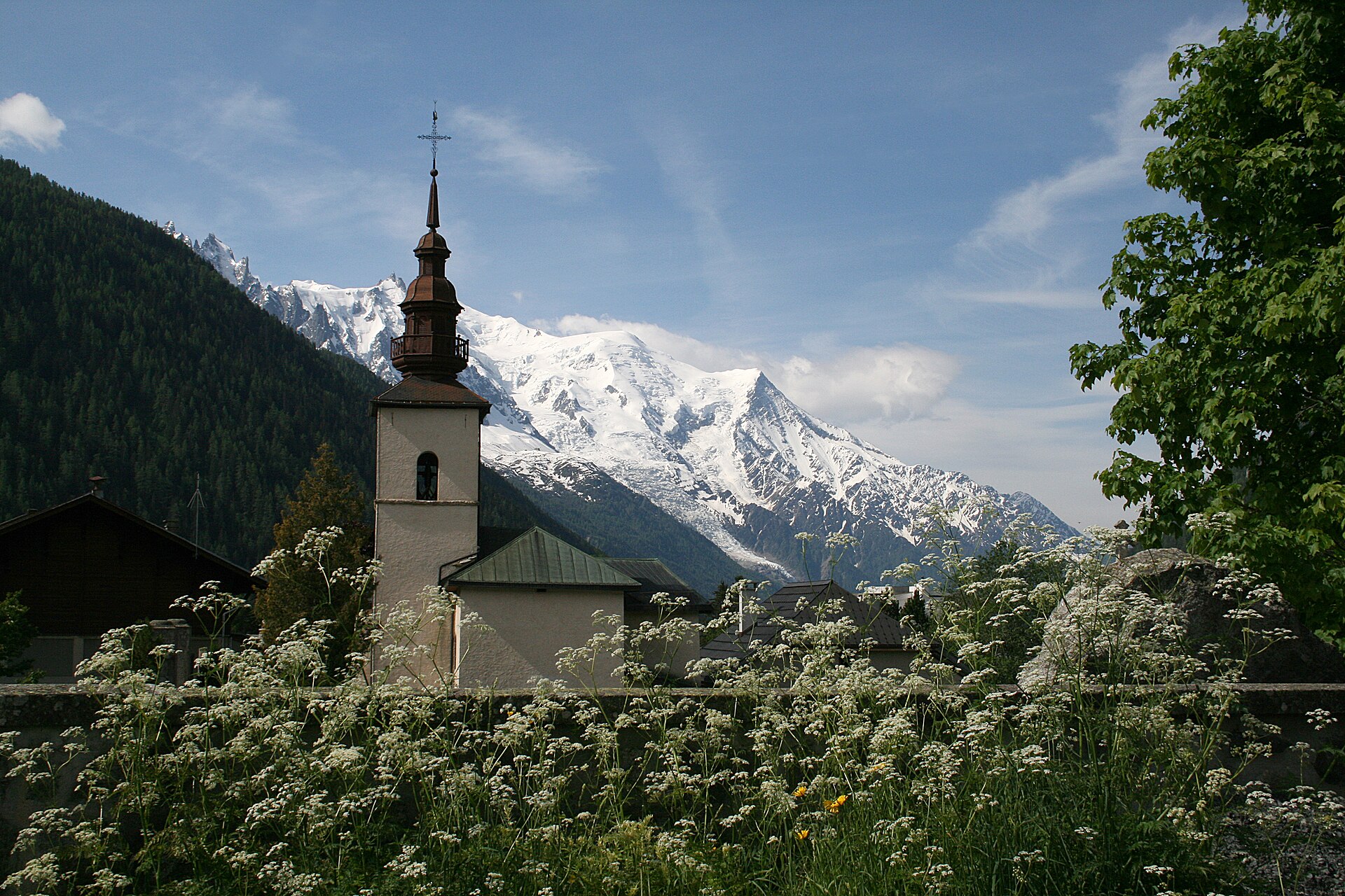
1252 m
Argentière
1.6 km by road
On the SNCF line from Saint-Gervais-les-Bains-Le Fayet through Chamonix to Vallorcine.
6
28
Argentière is a village of the commune of Chamonix-Mont-Blanc, at 1,252m near the head of the valley and about 4 miles beyond the town, under the glacier that carries its name, and in the eighteenth century it belonged to the Benedictine priory of Chamonix. In summer the case for sleeping here rather than in Chamonix is that the walks of the upper valley, to the Col de Balme, the Posettes and Lac Blanc, start within a few kilometres of the door, two of them from the hamlet of Le Tour above it.
The Aiguillette des Posettes and the Col de Balme both start from the lift car park at Le Tour, the last hamlet up the valley, which is a short drive from the village or a ride on the Chamonix Mobilité bus line 2, which the Compagnie du Mont-Blanc lists as running from Le Tour through Chamonix to Les Bossons. The Charamillon gondola from Le Tour carries walkers part of the way to the Col de Balme, and the Posettes needs no lift at all. Lac Blanc has two starts: the Flégère gondola from Les Praz, back down the valley towards Chamonix, or on foot from Tré-le-Champ above Argentière, a longer climb with fixed ladders. Both routes are inside the Aiguilles Rouges nature reserve, where dogs are banned outright.
Argentière station is on the SNCF line from Saint-Gervais-les-Bains-Le Fayet through Chamonix to Vallorcine. The Parking des Grands Montets is on the Chemin des Arberons in the village, and the car park at Le Tour for the Balme lifts is paid. Beyond the village the road climbs over the Col des Montets to Vallorcine and Switzerland. That road, the RD 1506, crosses the Aiguilles Rouges reserve, and the reserve’s visitor chalet stands at the col, with exhibitions on the wildlife, plants and geology of the range. The reserve began here: the communes of Chamonix and Vallorcine created an intercommunal reserve at the Col des Montets in 1971, with Maurice Herzog’s support, before the national reserve followed in 1974.
The Parking des Grands Montets is on the Chemin des Arberons in the village; parking at Le Tour, for the Balme lifts, is paid.
The road on from Argentière crosses the Col des Montets to Vallorcine and Switzerland, and runs through the Aiguilles Rouges nature reserve on the way.
A 7km walk from the top of the Flégère gondola to Lac Blanc at 2,352m, in the Aiguilles Rouges reserve, facing the Mont Blanc chain.
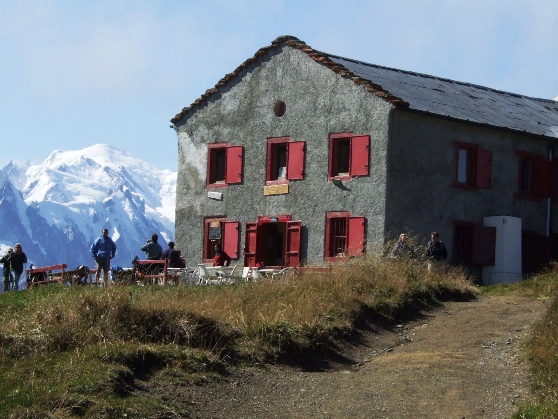
The pass at 2,191m on the Swiss border at the head of the Chamonix valley, climbed on foot from Le Tour or reached by the Charamillon gondola.
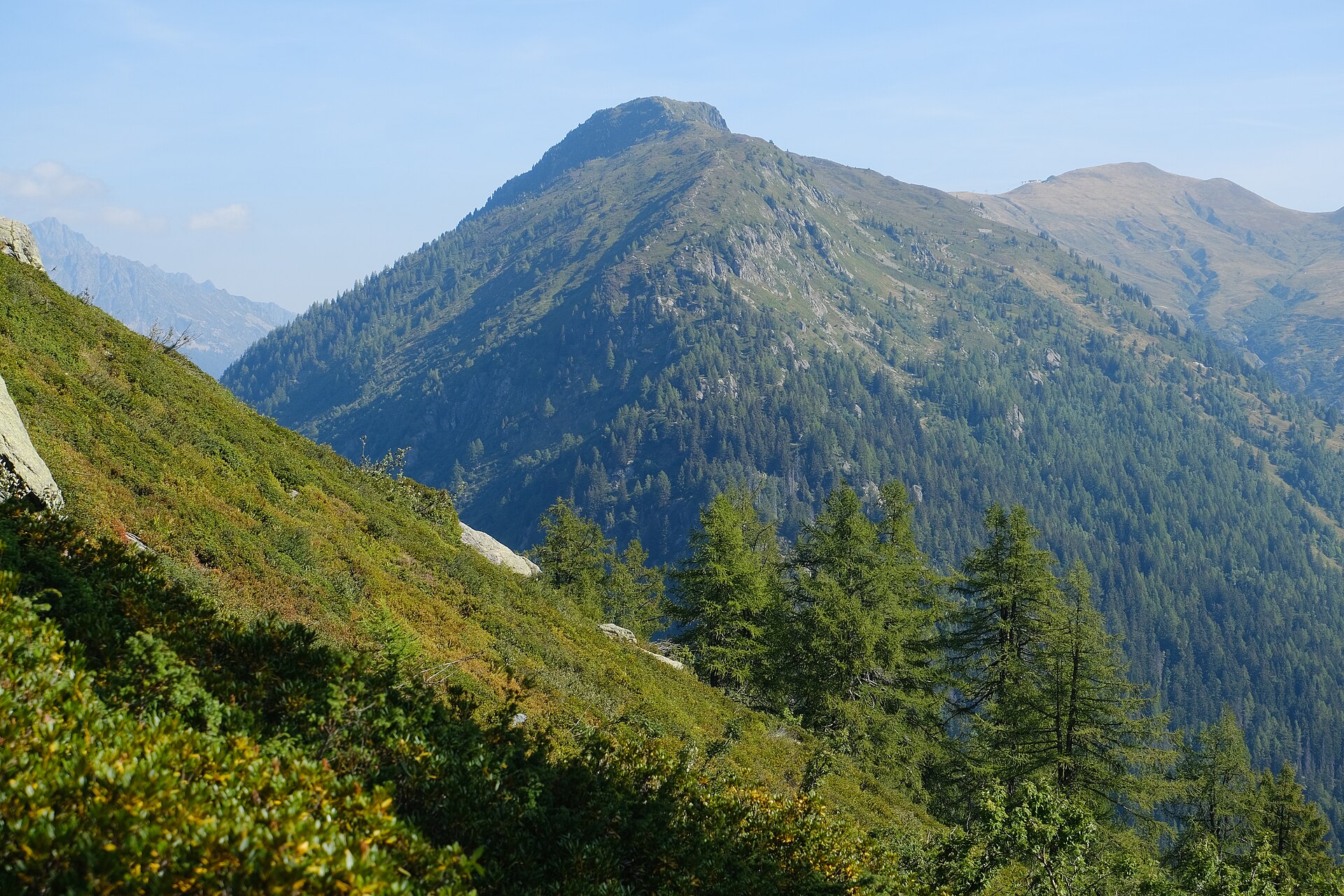
An 8.2km loop from Le Tour to the Aiguillette des Posettes at 2,201m, a summit between the Chamonix valley and Vallorcine with 850m of ascent.
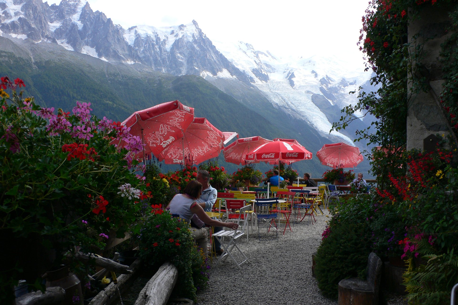
A 4.2km shaded walk from the edge of Chamonix to the Chalet de la Floria at 1,337m, a buvette with a terrace facing the Chamonix Aiguilles.
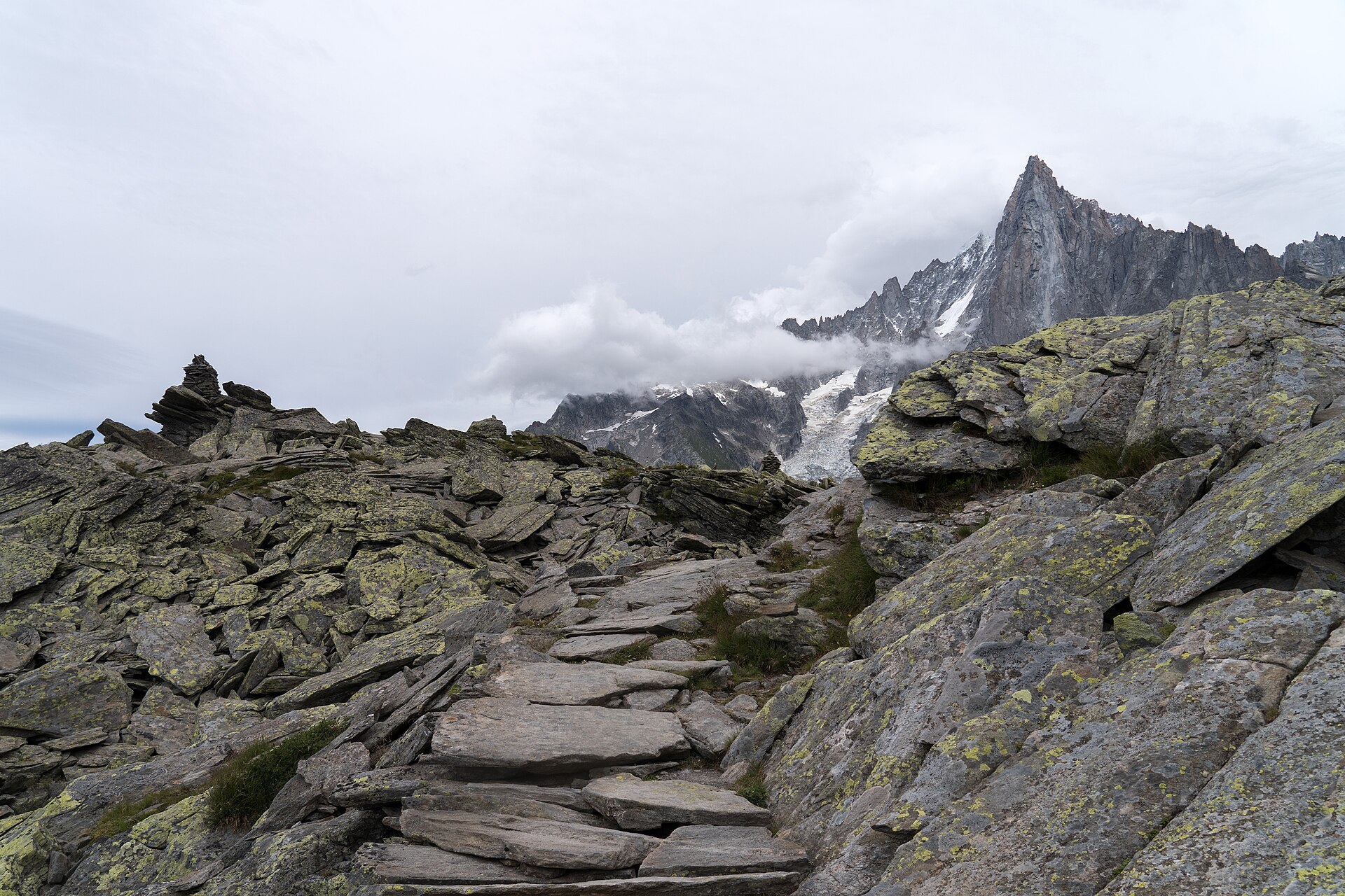
A 5.7km balcony path under the Chamonix Aiguilles, from the Aiguille du Midi mid-station at 2,310m down to the Mer de Glace at Montenvers.
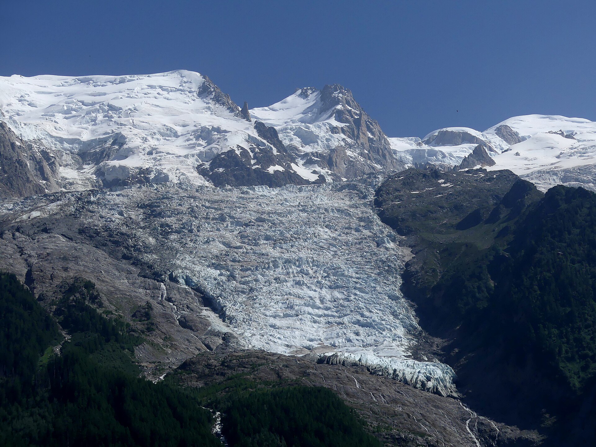
A 2.6km walk from Les Bossons up to a chalet and lookout beside the Bossons glacier, which falls from the summit of Mont Blanc.
Reached by car, by lift or by a short walk, rather than a day on the hill.
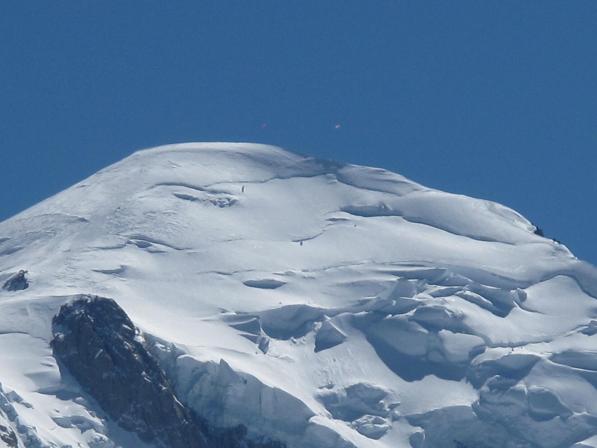
Summit at 2,525m directly across the valley from Mont Blanc, reached from Chamonix by the Planpraz gondola and the Brévent cable car.
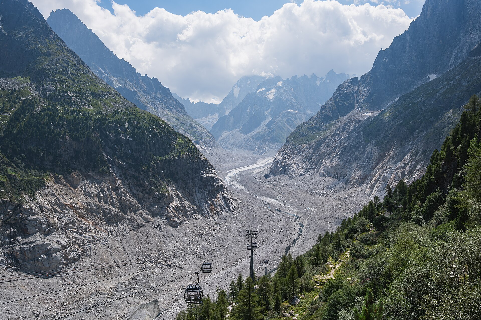
Rack railway of 1909 from Chamonix to Montenvers at 1,913m, above the 7km Mer de Glace and the ice cave cut into it each year.
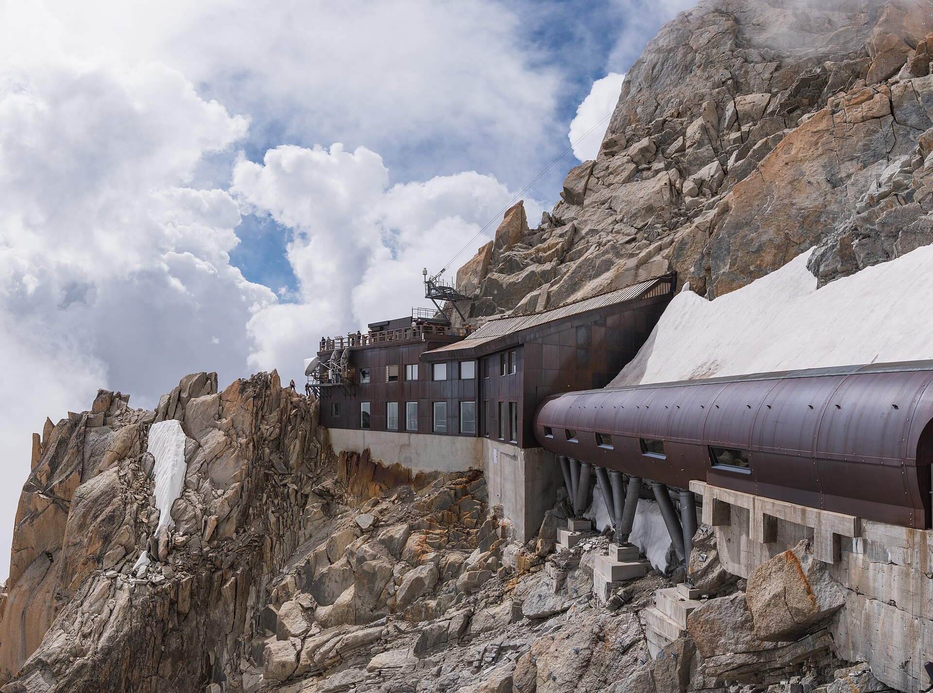
Two-stage cable car from Chamonix to the Aiguille du Midi at 3,842m, opened in 1955 and once the highest and longest in the world.
Booking through these links earns a commission. The price is the same.