Chalet du Glacier des Bossons
Near Chamonix, France
- Distance
- 2.6 km
- Ascent
- 268 m
- Time
- 1 hr 20 min
- Difficulty
- Moderate
- Shape
- There and back
Start: Above the village of Les Bossons, between Chamonix and Les Houches
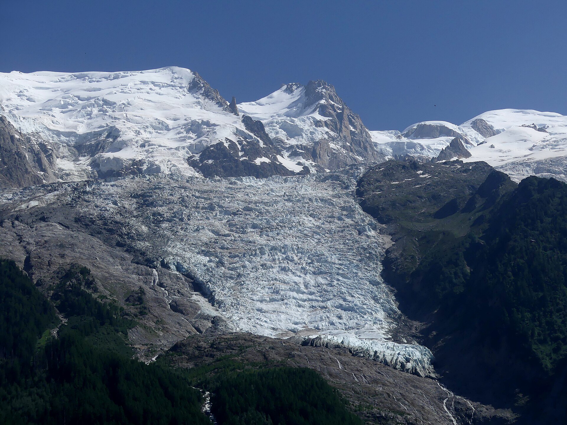
The Glacier des Bossons comes down from the summit of Mont Blanc itself, and in 2001 its front stood at 1,420m above the village of Les Bossons, a little way down the valley from Chamonix. It was 7.3km long that year. Between 1818 and 2001 it retreated 1.5km in all, and it lost another 500m by 2015, so the front the chalet looks out on has been moving up the slope for two centuries.
The walk the Chamonix tourist office describes climbs from above the village to the Chalet du Glacier des Bossons, a chalet-restaurant with a belvedere over the ice and information boards on the life and history of the glacier, including the trade in ice cut from it for the valley’s cafés and hotels. It gives 2.6km and 268m of ascent for the round trip, between 1,153m and 1,422m, and about an hour and twenty minutes there and back, graded medium for its slopes.
A second short walk on the same side of the valley goes to the Cascade du Dard, a waterfall 20m high at 1,233m with a view over the Aiguilles Rouges, the Bossons glacier and Mont Blanc. The office starts it from the Grépon car park in Chamonix by the Chemin à Batioret, and puts it about 45 minutes from the centre of town.
For a family or a rest day it gives a glacier at close range for very little climbing. It does not suit anyone who wants to stand on a glacier, since the path stops at a lookout beside the ice rather than on it; for that the Montenvers railway climbs to the Mer de Glace, and a cable car and a long flight of stairs go down from its top station to the ice cave.
Underfoot
A steady mountain path up the slope beside the glacier to a chalet-restaurant and a belvedere at 1,422m.
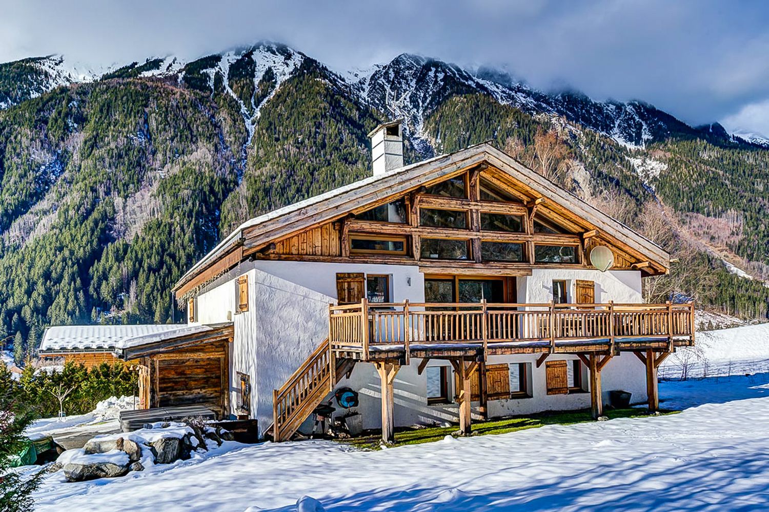
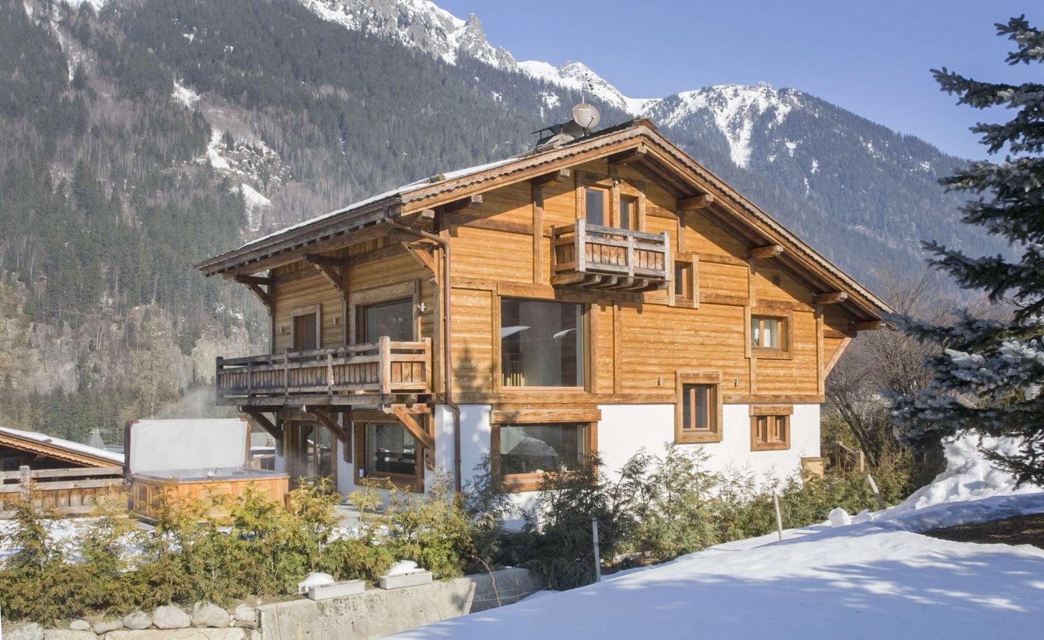
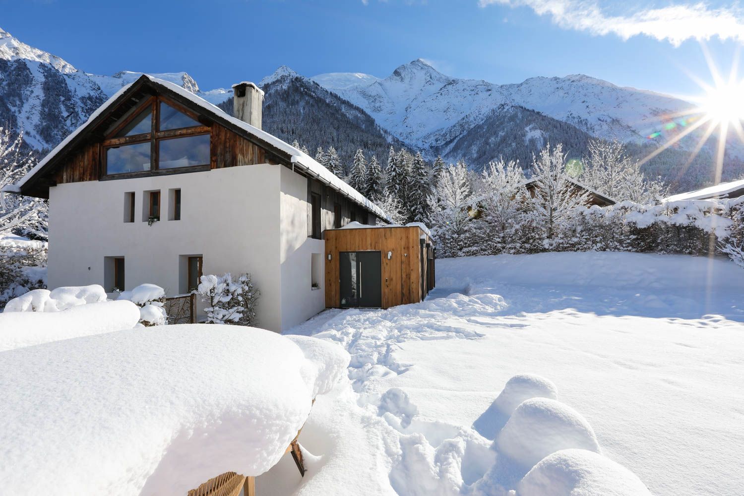
Stay within reach of the start
Booking through these links earns a commission. The price is the same.
Distances, ascent and times here are planning figures taken from published sources, not a route description to navigate by. Take a map and check the forecast.