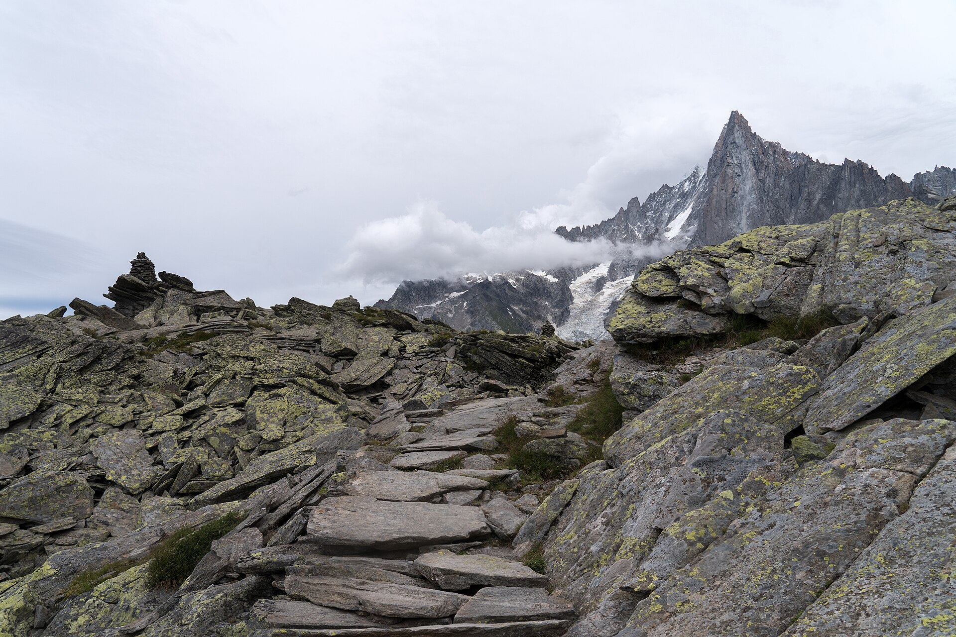
Grand Balcon Nord, Plan de l'Aiguille to Montenvers
A 5.7km balcony path under the Chamonix Aiguilles, from the Aiguille du Midi mid-station at 2,310m down to the Mer de Glace at Montenvers.
- 5.7 km
- 140 m up
- 2 hr 30 min
- Moderate
Three ways up to high ground without moving the car.
1035 m
Chamonix-Mont-Blanc
1.9 km by road
On the metre-gauge SNCF line from Saint-Gervais-les-Bains-Le Fayet to Vallorcine, whose through trains to Martigny in Switzerland run as the Mont-Blanc Express.
8
38
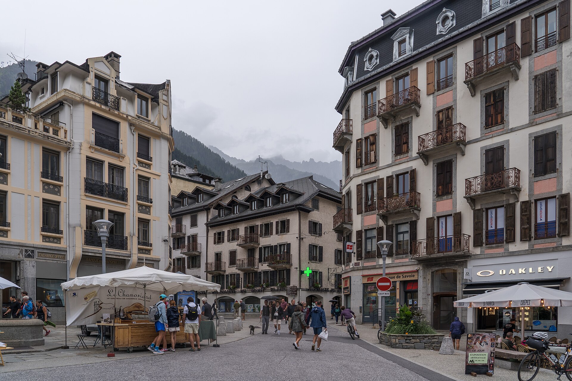
Chamonix is the town at the foot of Mont Blanc, on the Arve between the Aiguilles Rouges and the Mont Blanc massif, and the mountain was first climbed from here, by Jacques Balmat and the doctor Michel-Gabriel Paccard on 8 August 1786, a climb Horace-Bénédict de Saussure had set in motion and then rewarded. In 1924 the town held the first Winter Olympics. For a walker the reason to sleep here rather than further down the valley is simpler. The Aiguille du Midi cable car, the Planpraz gondola to the Brévent and the Montenvers railway all start in the town, so a week here can reach high ground every day without the car.
The Aiguille du Midi cable car leaves from the town, and its mid-station is the start of the Grand Balcon Nord, which ends at Montenvers. The Montenvers railway to the Mer de Glace departs from beside the SNCF station, and the Planpraz gondola climbs to the Brévent, on the far side of the valley from Mont Blanc. The Chalet de la Floria starts at Les Nants, on the edge of town, and needs no lift at all. Two walks need a bus or a short drive. The Bossons glacier walk starts above the village of Les Bossons, down the valley towards Les Houches; the Flégère gondola to Lac Blanc leaves from Les Praz, up the valley towards Argentière. The valley’s own bus network, Chamonix Mobilité, covers both: the Compagnie du Mont-Blanc names line 1, from Les Houches through Chamonix to Les Praz, for La Flégère, and line 2, from Le Tour through Chamonix to Les Bossons.
Chamonix-Mont-Blanc station is on the single-track metre-gauge line from Saint-Gervais-les-Bains-Le Fayet to Vallorcine, 36.5km long, where through trains to Martigny in Switzerland run as the Mont-Blanc Express. Travel on that line between Servoz and Vallorcine has been free since 2005 for anyone holding the valley’s guest card, which accommodation in the valley hands to its guests. By road the valley is reached on the RN 205, the Route blanche, which continues the A40 up from Le Fayet, and the Mont Blanc Tunnel, 11.6km long and open since 1965, links Chamonix with Courmayeur in Italy. The Grépon car park at the Aiguille du Midi and the Brévent car park are both pay to park; La Flégère at Les Praz is free.
The town’s own family walk is the Chalet de la Floria, 4.2km there and back with 307m of climbing on shaded paths, which the tourist office lists as family-friendly, with a creamery at the top. The Bossons walk is shorter still, 2.6km with 268m of ascent, to a lookout over the glacier with boards on its history. The Montenvers train needs no walking to see the Mer de Glace, though the ice cave below it is a staircase. The Aiguille du Midi is the one to think twice about: its operator forbids children under three and advises against taking those under five.
The Grépon car park at the Aiguille du Midi is pay to park, as is the car park at the Brévent; La Flégère, at Les Praz, has a free car park.
The RN 205, the Route blanche, continues the A40 up the valley from Le Fayet; the Mont Blanc Tunnel leads from Chamonix to Courmayeur in Italy.
A 5.7km balcony path under the Chamonix Aiguilles, from the Aiguille du Midi mid-station at 2,310m down to the Mer de Glace at Montenvers.
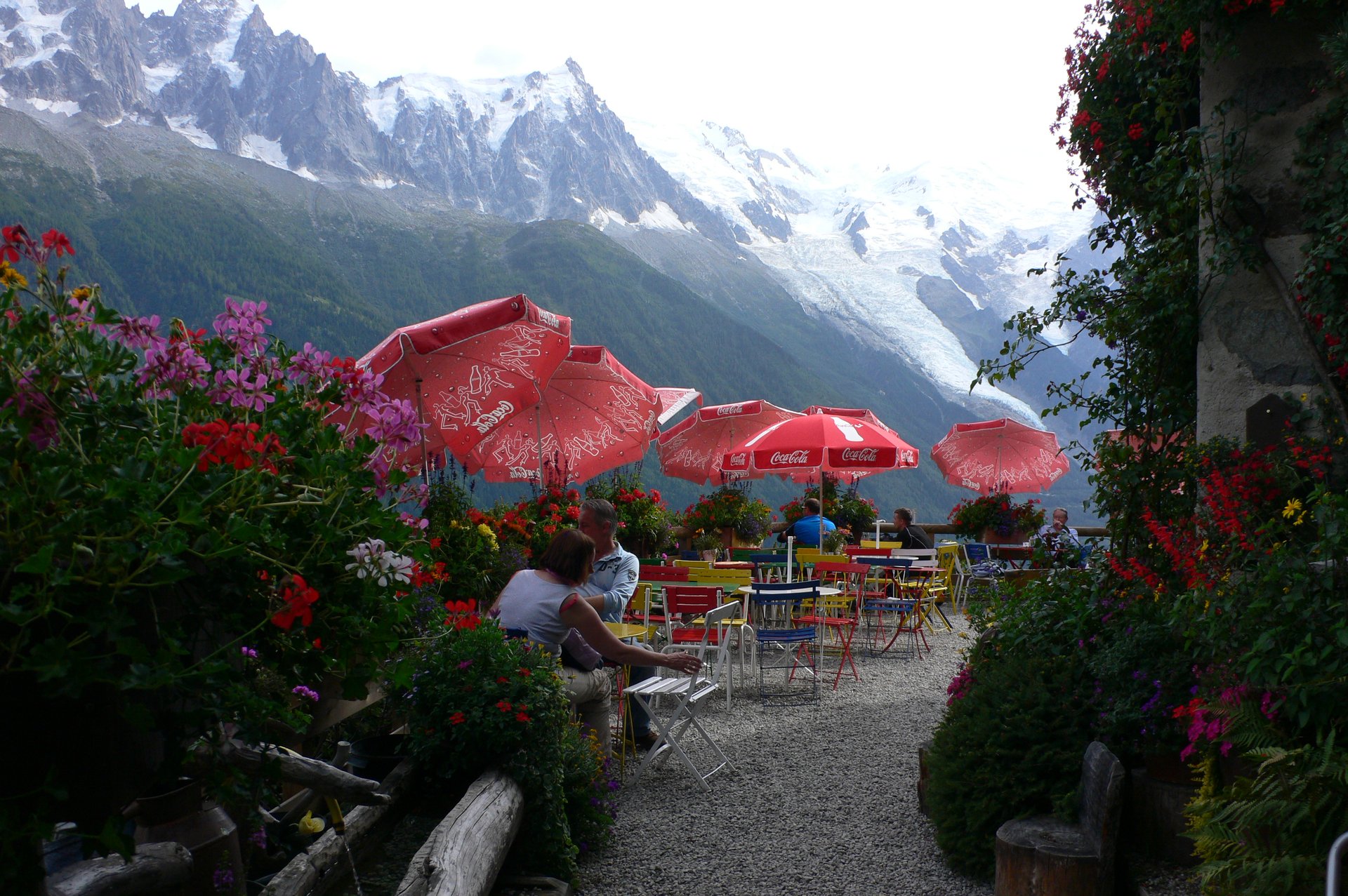
A 4.2km shaded walk from the edge of Chamonix to the Chalet de la Floria at 1,337m, a buvette with a terrace facing the Chamonix Aiguilles.
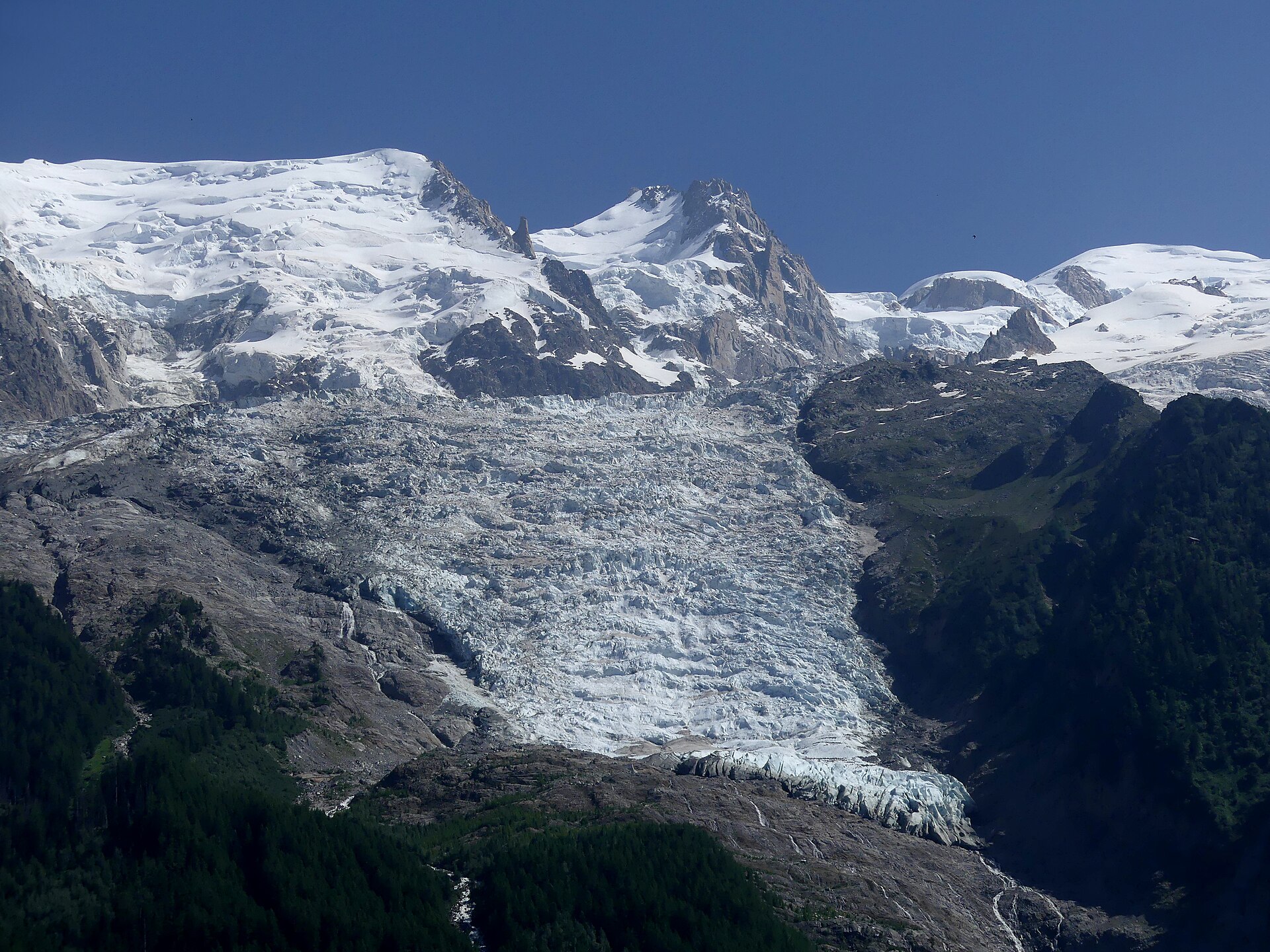
A 2.6km walk from Les Bossons up to a chalet and lookout beside the Bossons glacier, which falls from the summit of Mont Blanc.
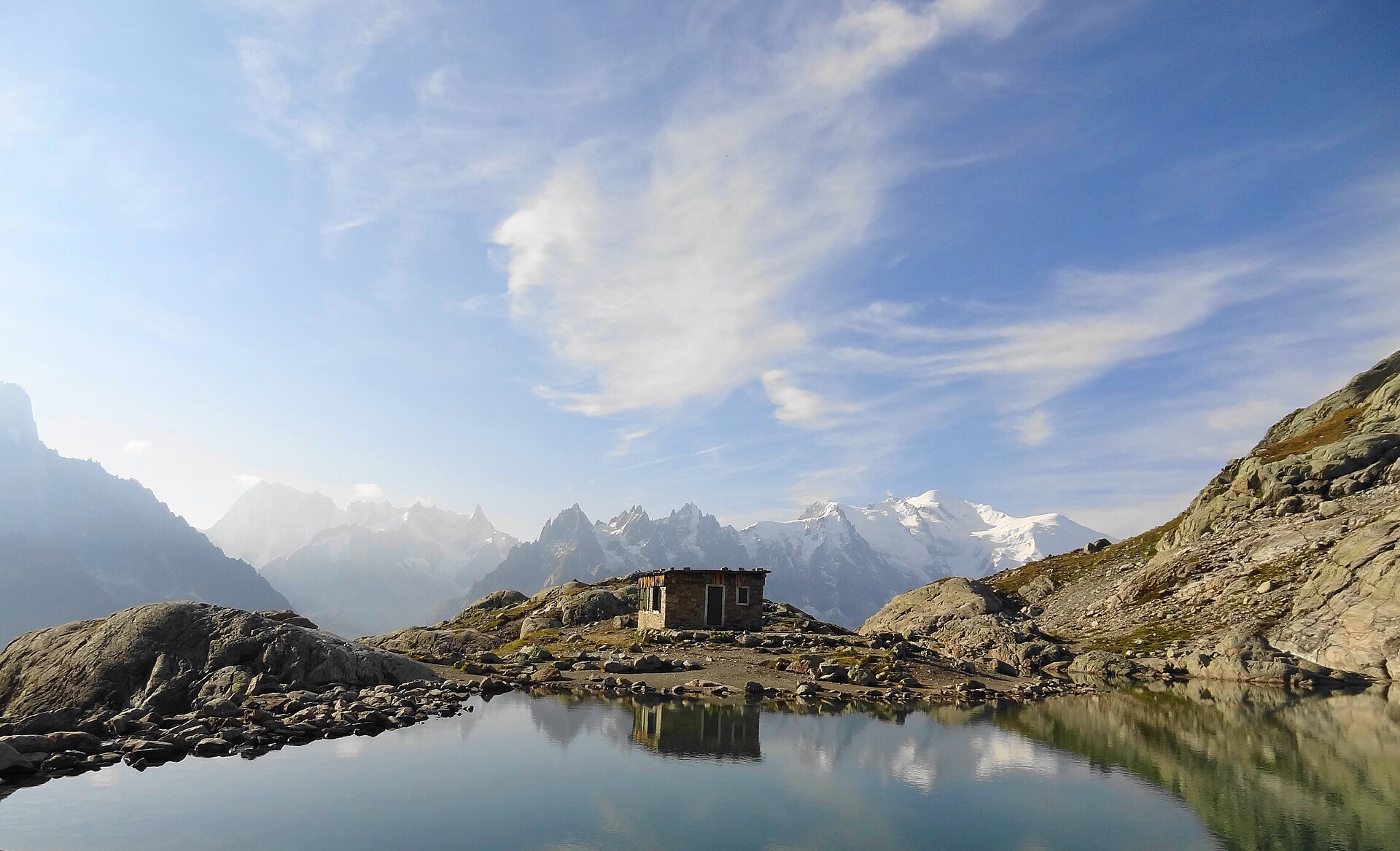
A 7km walk from the top of the Flégère gondola to Lac Blanc at 2,352m, in the Aiguilles Rouges reserve, facing the Mont Blanc chain.
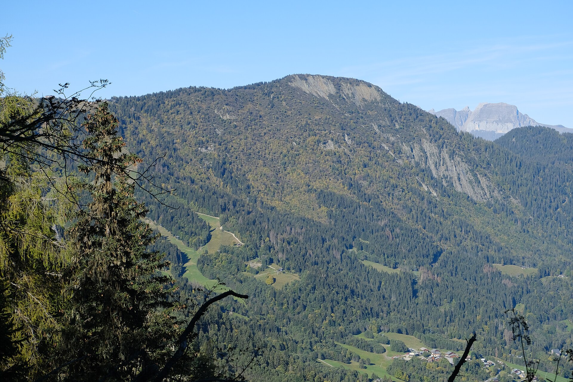
A 3.3km lift-to-lift balcony walk above Les Houches, from Bellevue at 1,794m by the Col de Voza to the Prarion, facing the Bionnassay and Goûter peaks.
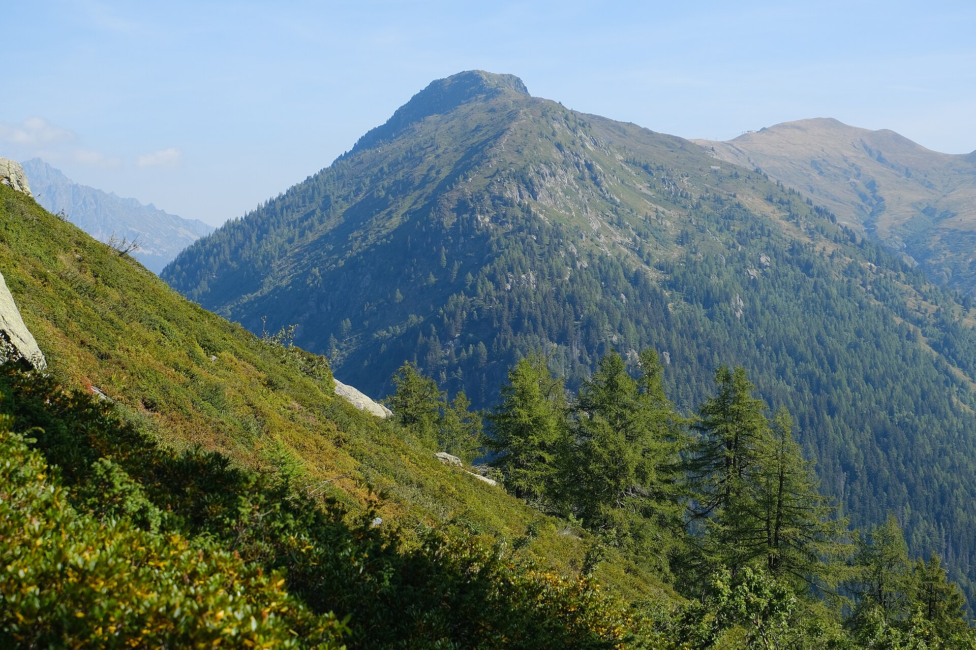
An 8.2km loop from Le Tour to the Aiguillette des Posettes at 2,201m, a summit between the Chamonix valley and Vallorcine with 850m of ascent.
Reached by car, by lift or by a short walk, rather than a day on the hill.
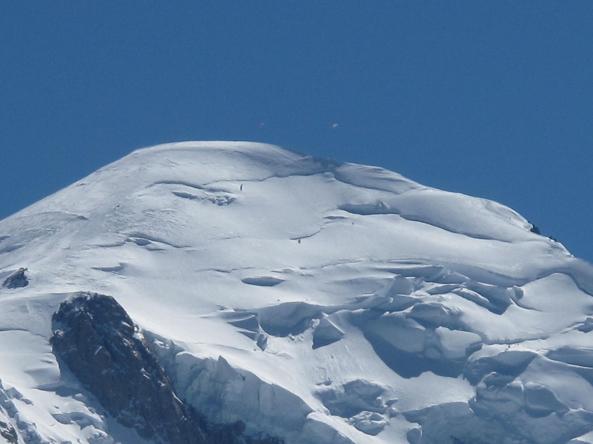
Summit at 2,525m directly across the valley from Mont Blanc, reached from Chamonix by the Planpraz gondola and the Brévent cable car.
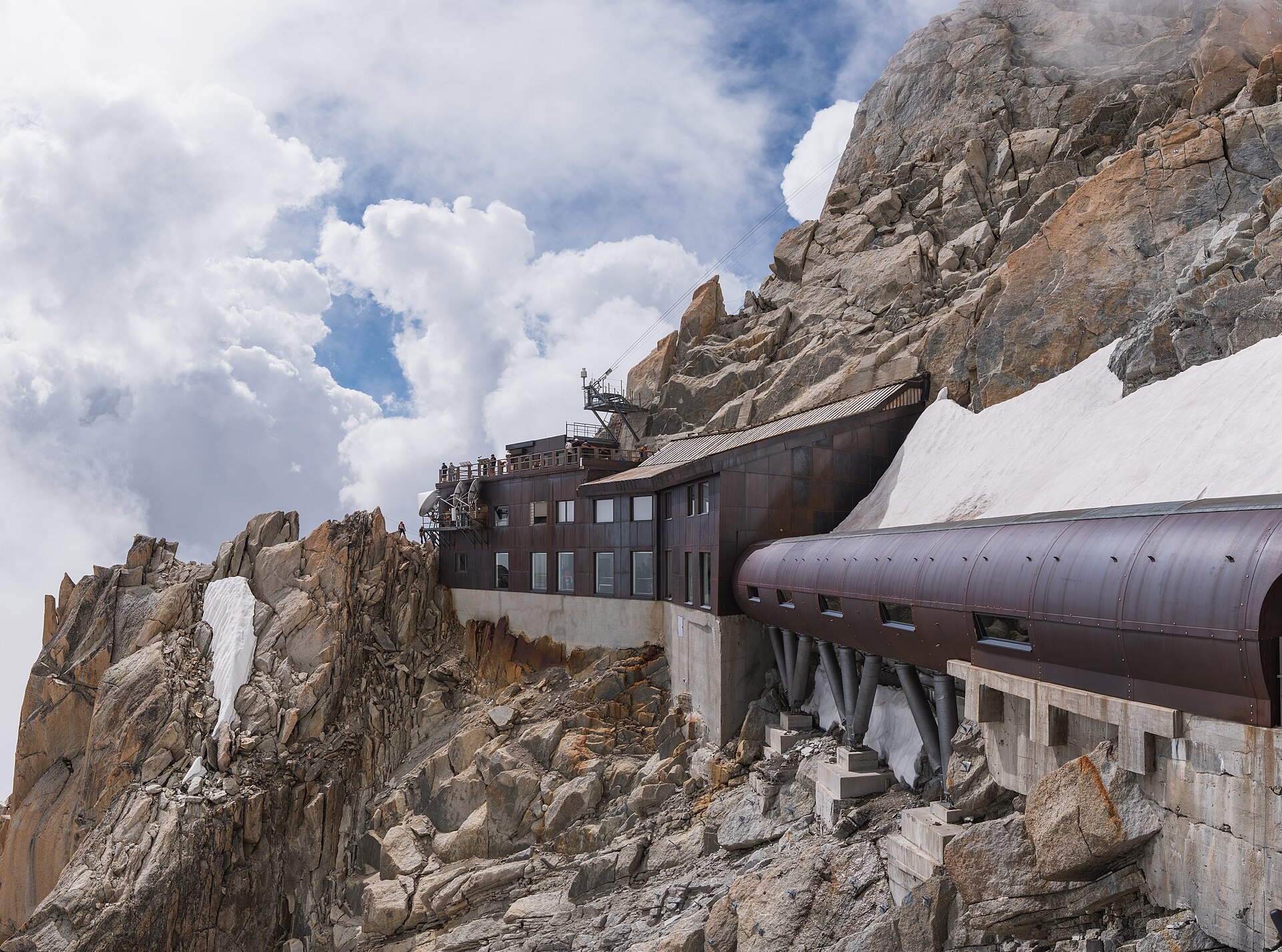
Two-stage cable car from Chamonix to the Aiguille du Midi at 3,842m, opened in 1955 and once the highest and longest in the world.
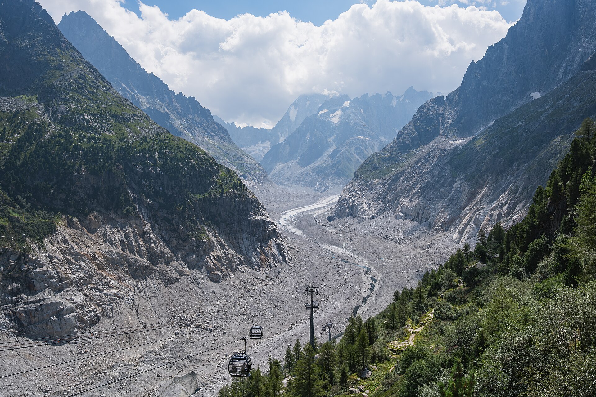
Rack railway of 1909 from Chamonix to Montenvers at 1,913m, above the 7km Mer de Glace and the ice cave cut into it each year.
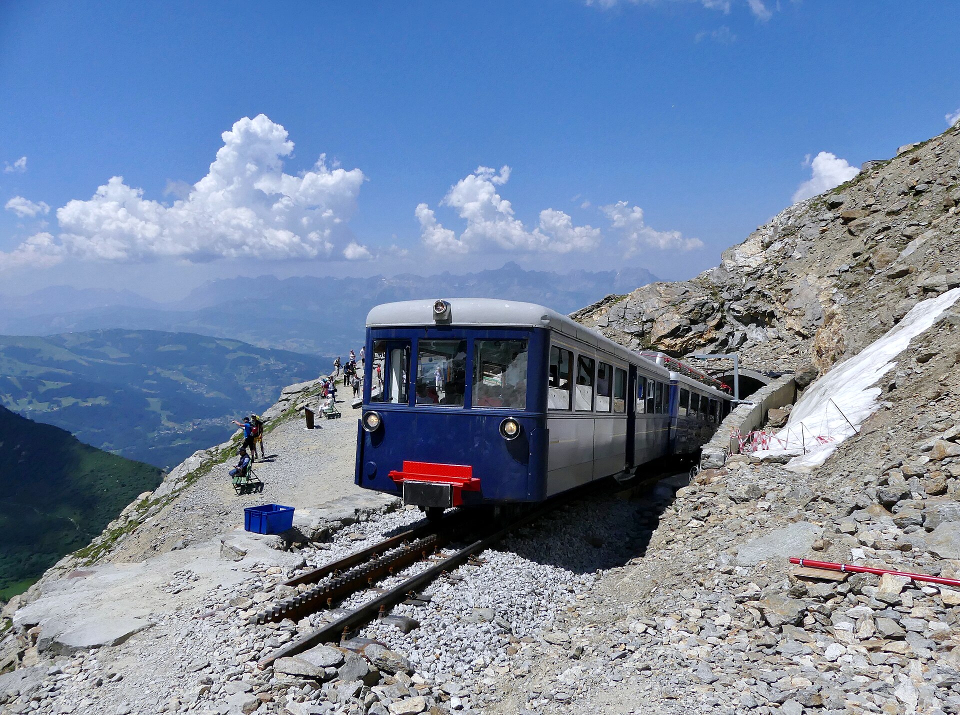
France's highest rack railway, from Le Fayet at 580m to the Nid d'Aigle below the Bionnassay glacier, begun in 1909 to reach Mont Blanc itself.
Booking through these links earns a commission. The price is the same.