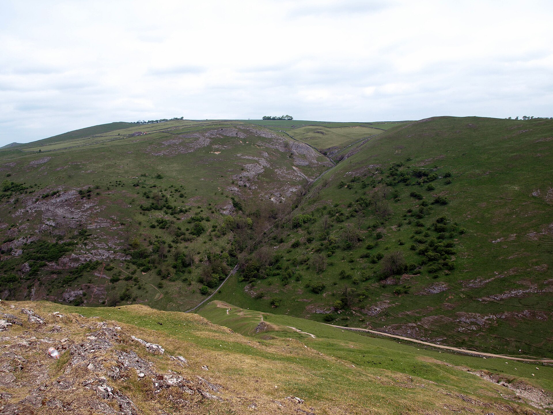
Thorpe Cloud and the Dovedale Stepping Stones
A 287m limestone reef knoll above the Dovedale stepping stones, climbed on a 2.8km circuit from the National Trust car park at Thorpe.
- 2.8 km
- 171 m up
- 1 hr
- Moderate
Five miles south of Dovedale, at the foot of the Tissington Trail.
122 m
Uttoxeter
16 km
3
165
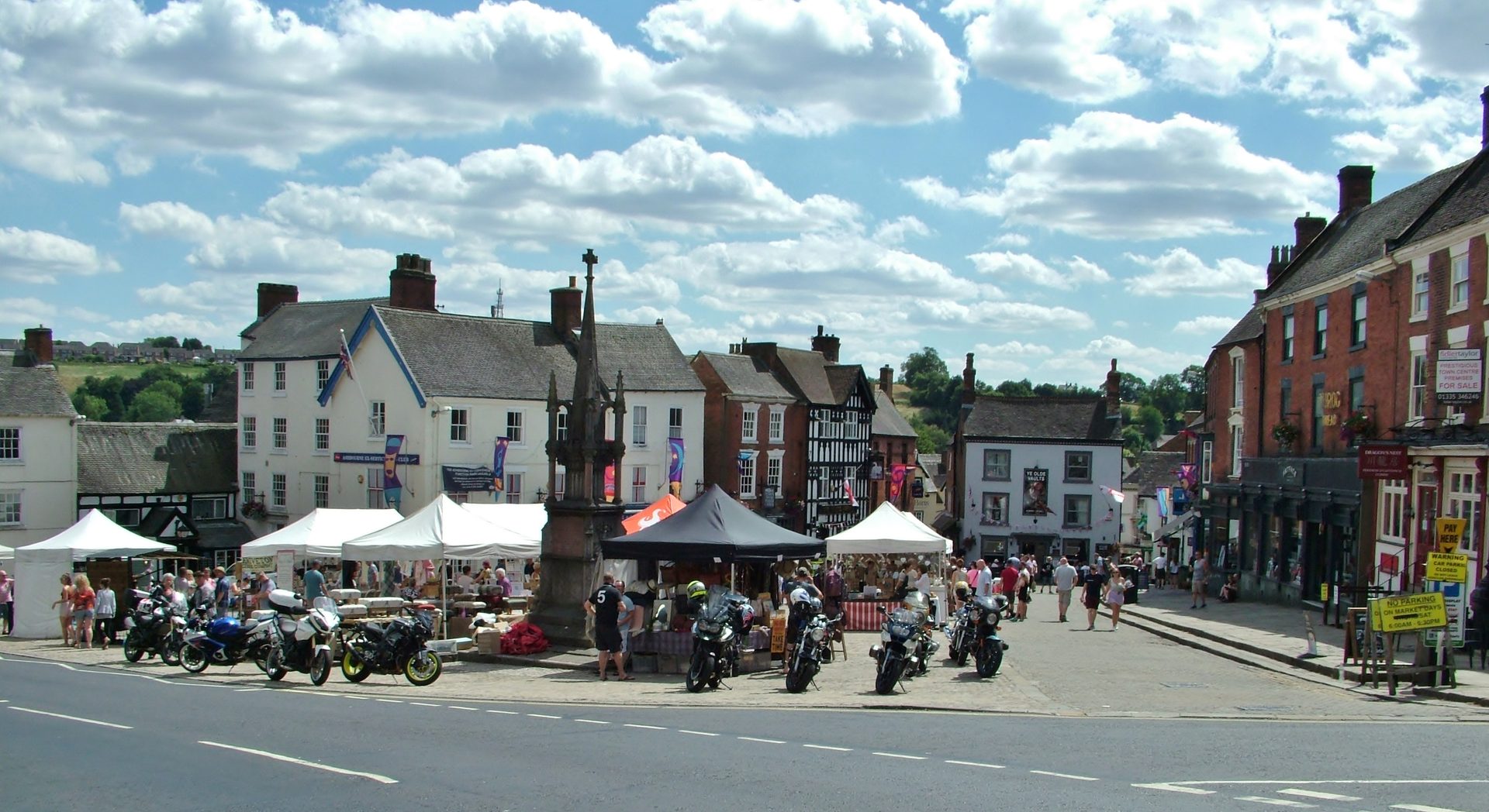
Ashbourne sits at 122m on the southern edge of the Peak District, a market town of 8,967 people at the 2021 census, and Wikipedia describes it as the town for reaching Dovedale, which lies about five miles north according to Discover Ashbourne, the town’s own visitor site. The case for sleeping here rather than in the dales is shops, pubs and a cobbled market on Thursdays and Saturdays, none of which a dale village can offer. The case against is that you are driving to every walk but one. The town is also the home of the Royal Shrovetide Football match, played from at least about 1667 with goals three miles apart and a hand-painted cork ball, which is worth knowing before booking the week of Shrove Tuesday.
The Tissington Trail is the one thing that starts at the edge of town. The Peak District National Park Authority runs it as a 13-mile traffic-free route on the old railway to Parsley Hay, and the southern access is at Mapleton Lane, just north of Ashbourne, where there is bike hire, a cafe and toilets. Thorpe village, with its own trail access, is about 2 miles along it, according to the cycling writers at Climb It Range, so a flat walk out of Ashbourne reaches Dovedale’s southern end without a car. Discover Ashbourne puts the stepping stones at a 10-mile round trip on foot from the town centre, or 9 miles via the trail and Thorpe, and calls the second “easy but slightly dull”. The same source warns that the road between Thorpe and Ilam often gridlocks on sunny weekends and bank holidays.
Thorpe Cloud starts from Dovedale car park, a drive. Hartington and Wolfscote Dale are further: 11 miles each way along the trail, a ride rather than a walk. By road they belong to the Hartington base, and a stay there is the better choice if the dales are the whole point of the week.
Ashbourne has no railway station; passenger trains stopped in 1954 and the Buxton line closed in 1963, according to Wikipedia. Discover Ashbourne lists the Swift to Derby and Uttoxeter, services 110 and 111 to Matlock, the 108 to Leek and the 441 and 442 to Buxton, the last of which calls at Tissington and Hartington. The National Trust lists a Buxton to Ashbourne bus with stops at Thorpe, two miles from Dovedale, and at Ilam; Discover Ashbourne says there is no direct scheduled bus to Dovedale itself. Check the timetable with the operator before relying on either. The National Trust manages the Dovedale car park, which uses automatic number plate recognition and takes card or coins. It is the large car park for Thorpe Cloud, about half a mile from the hill’s base according to the walking writer Ella McKendrick.
The Tissington Trail is the easy half of the family case. The Park Authority runs bike hire at both ends, including Mapleton Lane, and Climb It Range describes the gradient as gentle enough that the return from Hartington is nearly a free-wheel. Thorpe Cloud is the harder half: McKendrick records a steep gravel path and a slight scramble at the summit, 20 to 30 minutes up, and a descent that turns slippery in the wet, though she also saw families with small children on it. Pushchairs belong on the trail, not the hill.
Dovedale's car park, run by the National Trust, reads number plates and takes card or coins; the Tissington Trail has a car park, cafe, toilets and bike hire at Mapleton Lane, just north of the town.
The A515 runs north from Ashbourne towards Buxton; the turn for Thorpe and Dovedale leaves it north of the town.
A 287m limestone reef knoll above the Dovedale stepping stones, climbed on a 2.8km circuit from the National Trust car park at Thorpe.
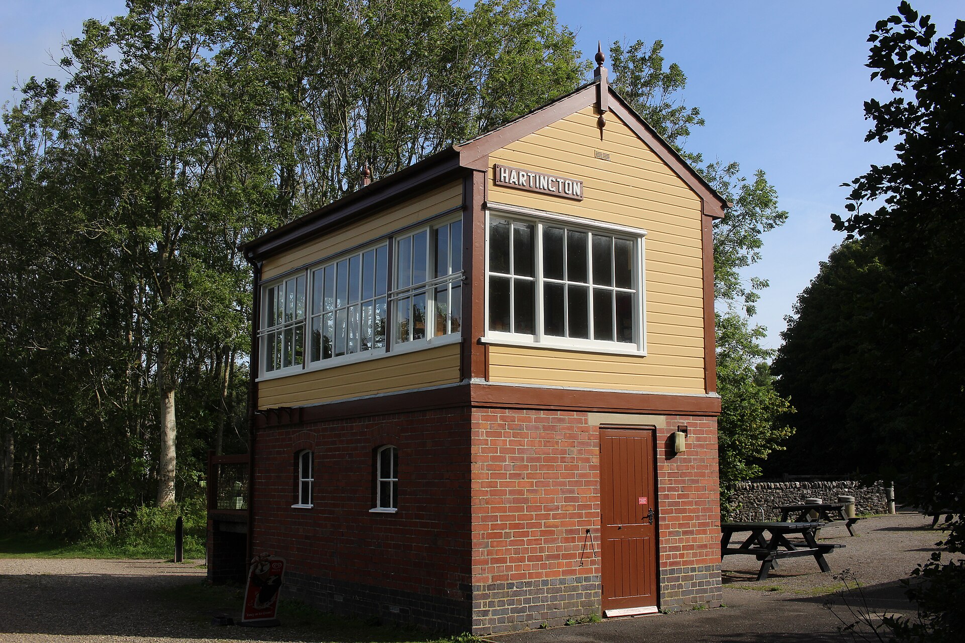
A flat, easy walk or ride along a former railway line from Hartington's old station, part of a 13-mile trail between Ashbourne and Parsley Hay.
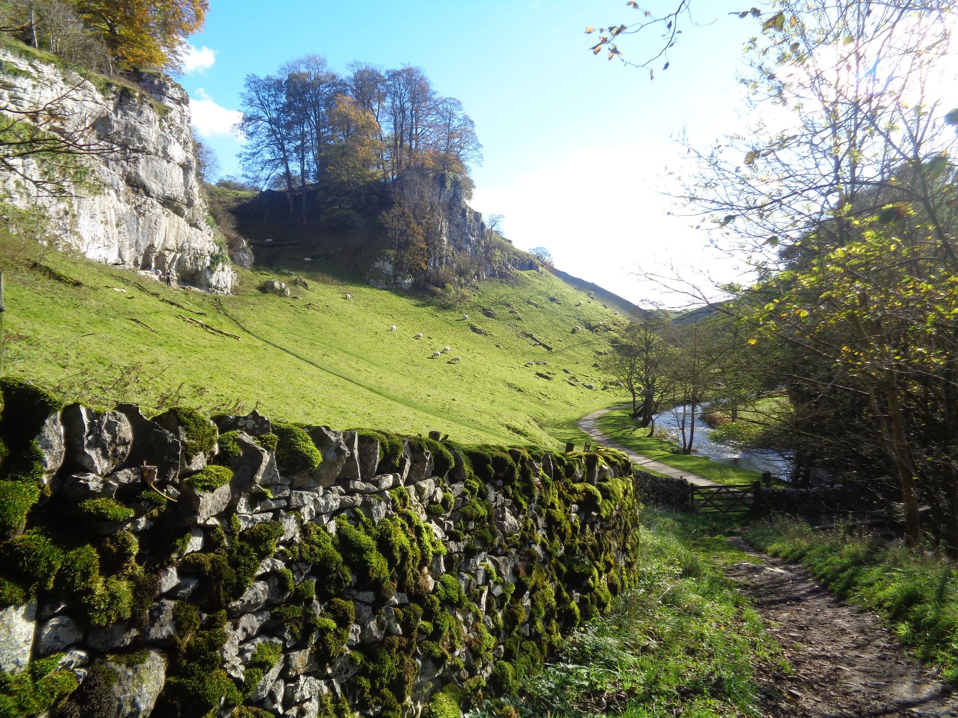
A circular walk from Hartington down the River Dove through Beresford Dale and Wolfscote Dale, returning by Biggin Dale.
Booking links on these earn us a commission. The price you pay is the same either way.
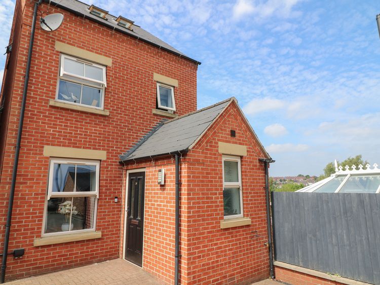
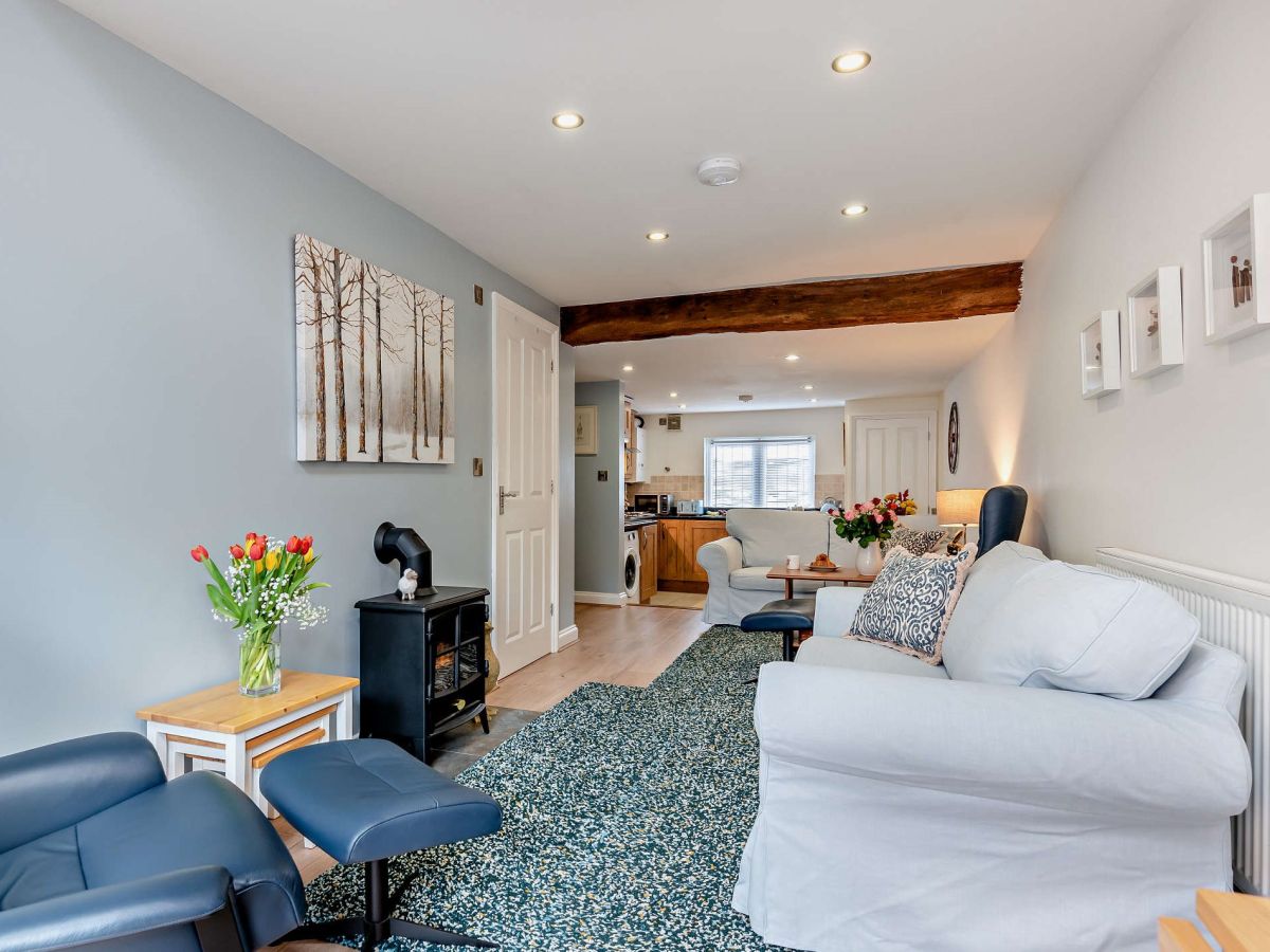
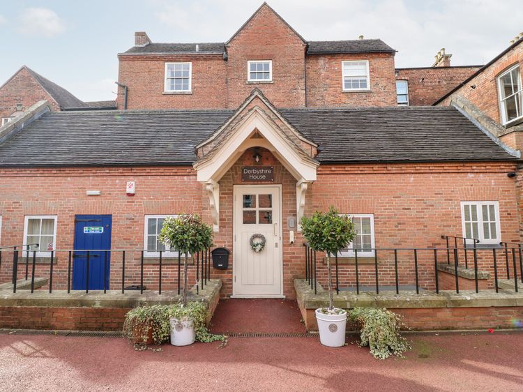
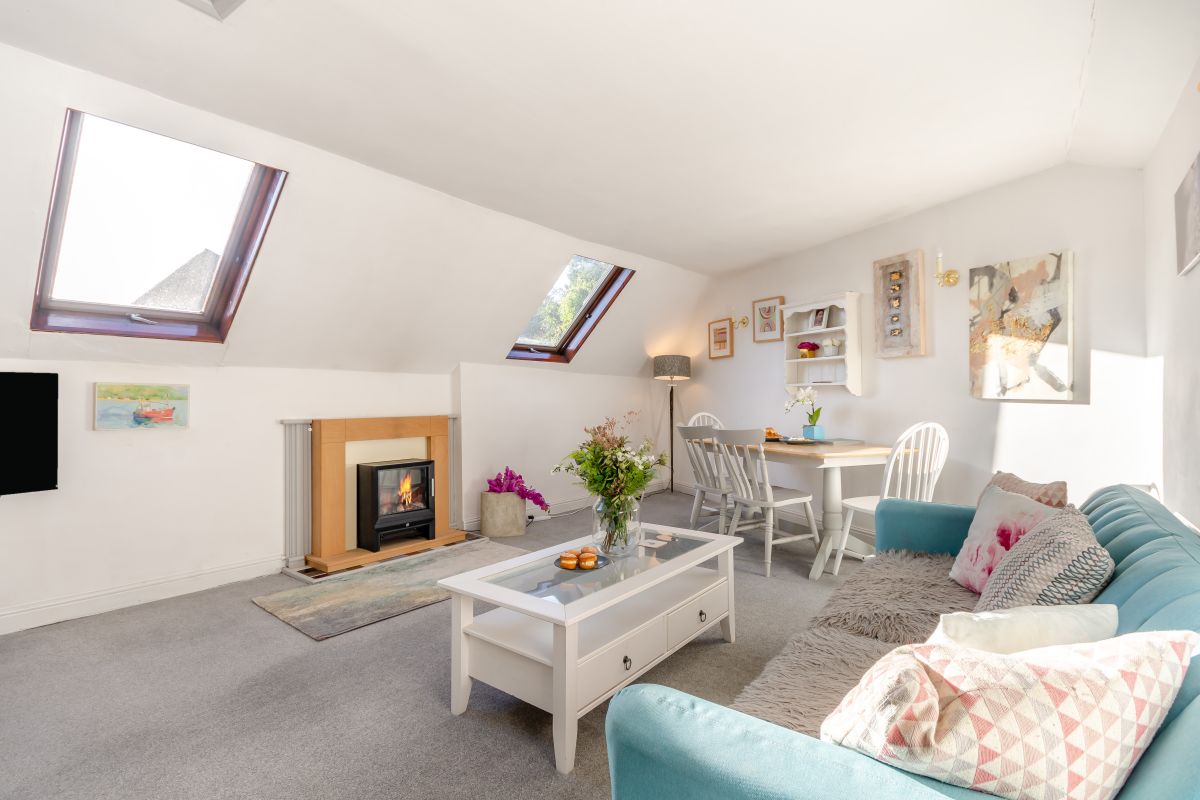
Ashbourne, Derbyshire
Sleeps 4 · 2 beds
from £416 / week
Check dates for Conifer Cottage - Ashbourne (opens the booking site in a new tab)Checked 5 Oct
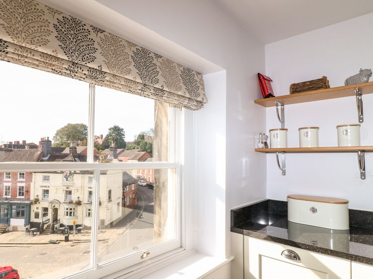
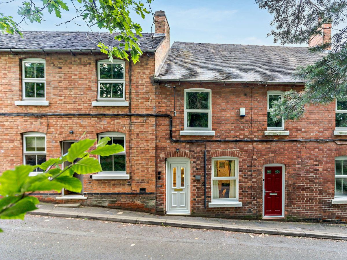
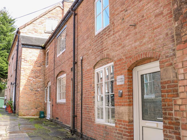
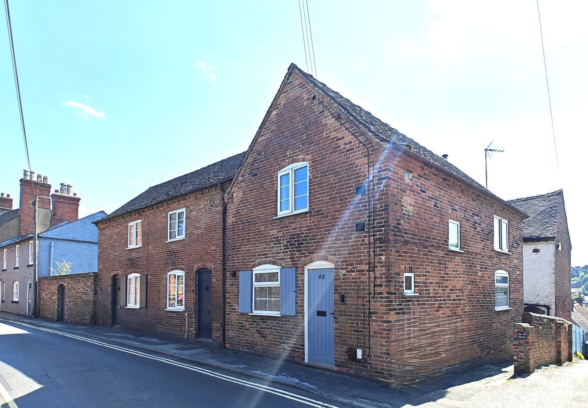
Ashbourne, Derbyshire
Sleeps 5 · 2 beds
from £513 / week
Check dates for Belle Vue Escape (opens the booking site in a new tab)Checked 5 Oct