Ben Cruachan and Stob Dàimh from the Falls of Cruachan
A two-Munro ridge circuit round the Cruachan reservoir, climbed from the railway station by the dam path, with rocky ridge walking and 1,376m of ascent.
- 13.75 km
- 1,376 m up
- 8 hr 30 min
- Hard
Gaelic: Taigh an Uillt
Below Ben Cruachan, on the Oban line by Loch Etive.
Taynuilt, on the Oban branch of the West Highland Line; Falls of Cruachan, the next station east and the one for the mountain, is open only in the summer months
6
49
Taynuilt stands on the River Nant about a kilometre before it meets Loch Etive at Airds Bay, at the western entrance to the Pass of Brander, and Wikipedia gives it about 800 residents. Undiscovered Scotland derives the name from the Gaelic for “house by the stream”. The village is older than its tourism: Wikipedia records the Bonawe ironworks, founded in 1753, as employing up to 600 charcoal burners in the woods round about, and names nearby Ardchattan Priory as the venue in 1308 for the last Scottish Parliament held in Gaelic.
The case for Taynuilt is narrow, and it is better to say so. It is the nearest village with a railway station, a post office and a doctor’s surgery, all listed by Wikipedia, to Ben Cruachan, which Walkhighlands describes as the highest summit of the range between Loch Awe and Loch Etive, and the Gazetteer for Scotland places Falls of Cruachan station 5½ miles east-southeast of the village. This site lists no gentler outing that starts from Taynuilt itself, and its next nearest walks, Buachaille Etive Mòr and The Cobbler, start roughly 33 and 39km away measured between start points. A week of varied hill days belongs at Glencoe; Taynuilt suits one long day on Cruachan and a base that is quiet the rest of the time.
Ben Cruachan does not start in Taynuilt. The walk begins by Falls of Cruachan station, under the railway, and climbs through woodland to the dam above the power station, which is built into the mountain; Walkhighlands gives the circuit as 13.75km with 1,376m of ascent in eight to nine hours.
Without a car there is one way to reach the start: the train. Wikipedia says Falls of Cruachan station is open only from March to October, that trains stop there in daylight alone because the platform has no lighting, and that it has no car park and no ticket sales. A nine-hour walk and a daylight-only platform leave little slack, so the return train matters more here than on most hill days. By car, Walkhighlands warns that the visitor centre at the power station can no longer be used for parking, and names the rough layby by the station and the proper one about 700m further towards Oban.
On foot from the village itself there is Bonawe Historic Iron Furnace on the north side. Historic Environment Scotland calls it the most complete charcoal-fuelled ironworks left in Britain, and says it ran almost continuously for over 120 years. The site is seasonal and takes timed bookings online. Wikipedia also notes day trips on Loch Etive from Kelly’s Pier.
ScotRail runs Taynuilt station, which opened on 1 July 1880 when the Callander and Oban Railway was extended from Dalmally to Oban. Wikipedia lists step-free access, bike racks and a car park beside platform 1, and no ticket office: tickets are bought in advance or from the guard. Trains run to Glasgow Queen Street and Oban, and ScotRail’s timetable, not this page, is the place to read their times. Wikivoyage also lists Citylink coaches from Glasgow Buchanan stopping at the village crossroads; Citylink publishes the current routes.
Wikipedia lists a post office, a grocery store and a doctor’s surgery on the main street. The sources read for this page do not give a petrol station or cash machine in the village, so Oban, the town to the west on the A85, is the one to plan around for a full shop.
The station has a car park beside platform 1. For Ben Cruachan, Walkhighlands starts the walk from a rough layby on the north side of the A85 by Falls of Cruachan station, with the next proper layby about 700m on towards Oban.
The A85 runs through the village between Oban and Loch Awe, and the Cruachan start is on the same road, through the Pass of Brander.
A two-Munro ridge circuit round the Cruachan reservoir, climbed from the railway station by the dam path, with rocky ridge walking and 1,376m of ascent.
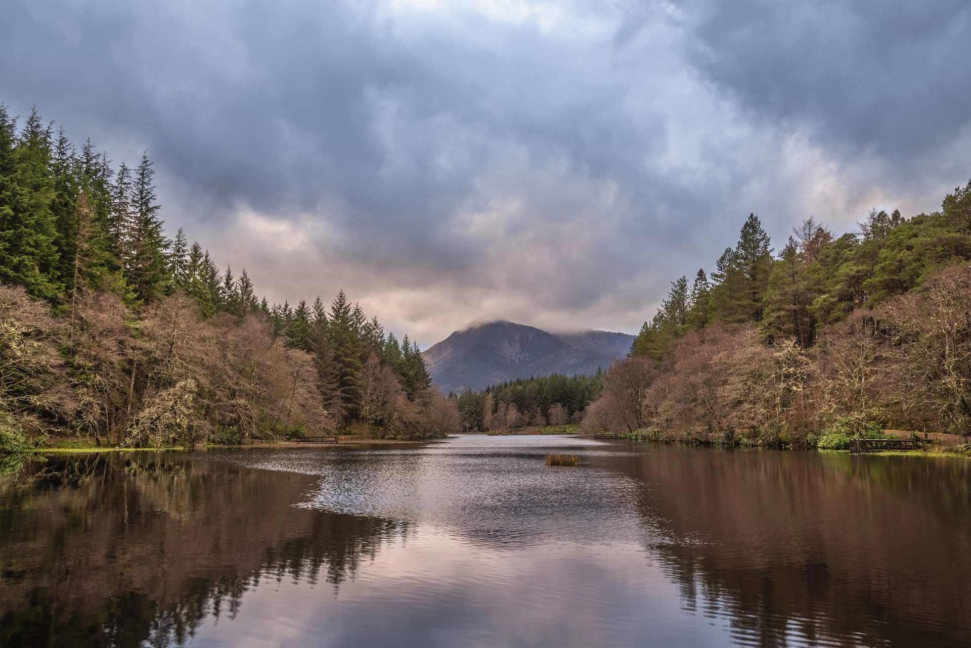
A flat, waymarked forest loop around an artificial lochan above Glencoe village, with views of the Pap of Glencoe.
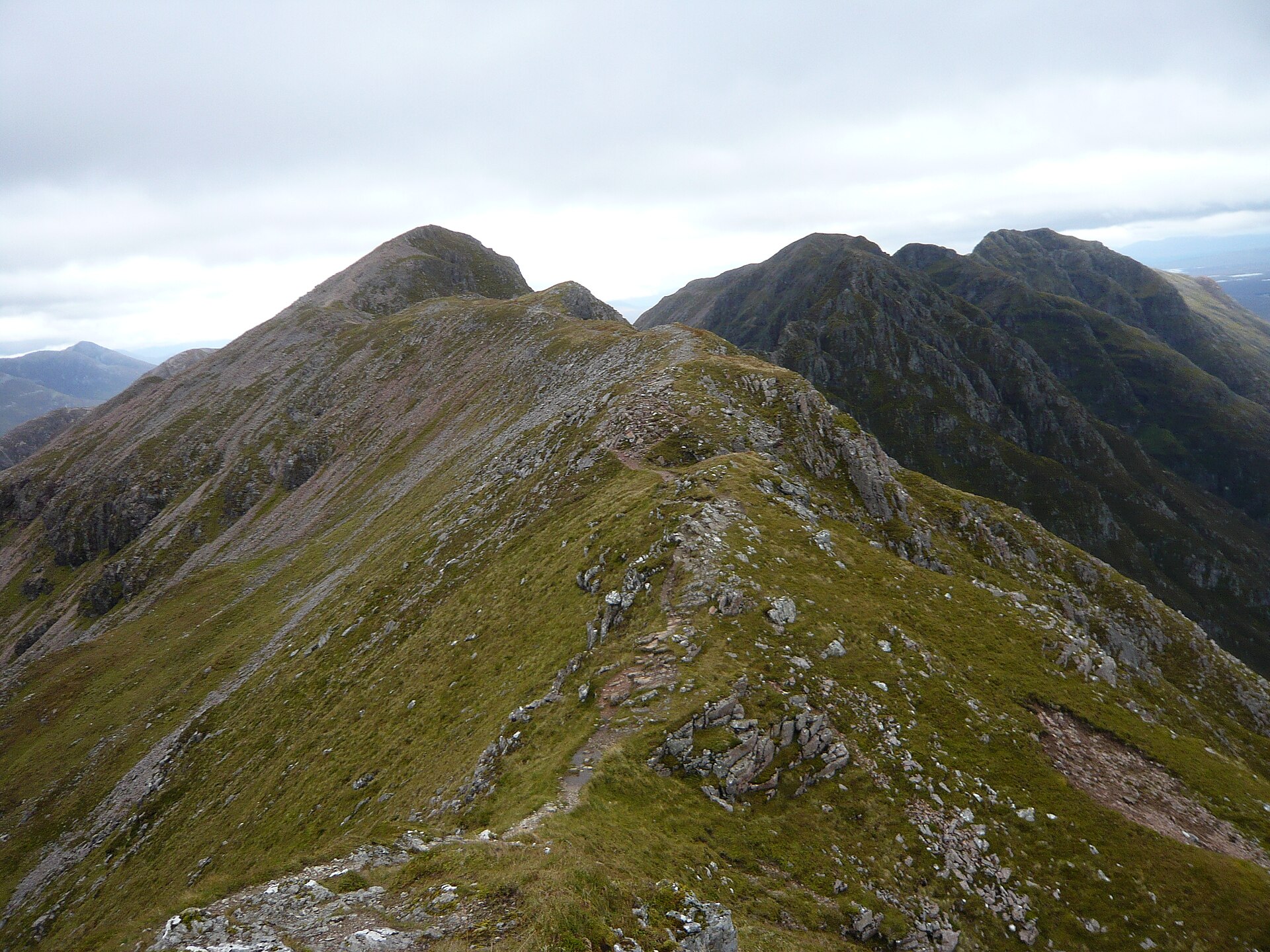
Famed as the narrowest ridge on the British mainland, a grade 2/3 scramble across Glen Coe linking two Munro summits with no easy way off.
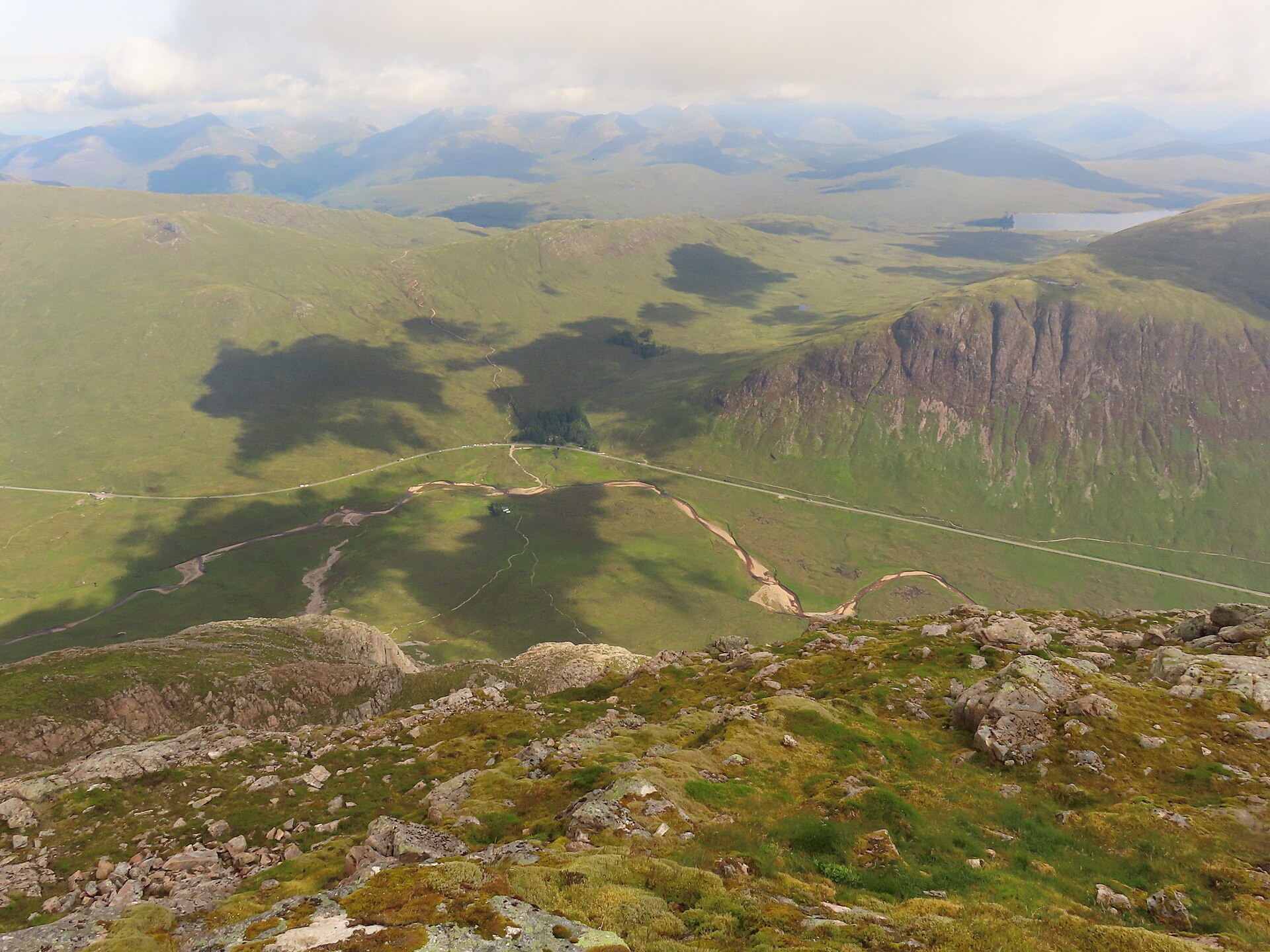
A pyramid-shaped Munro guarding Glen Coe's eastern end, climbed by the eroded gully of Coire na Tulaich to Stob Dearg's summit cairn.
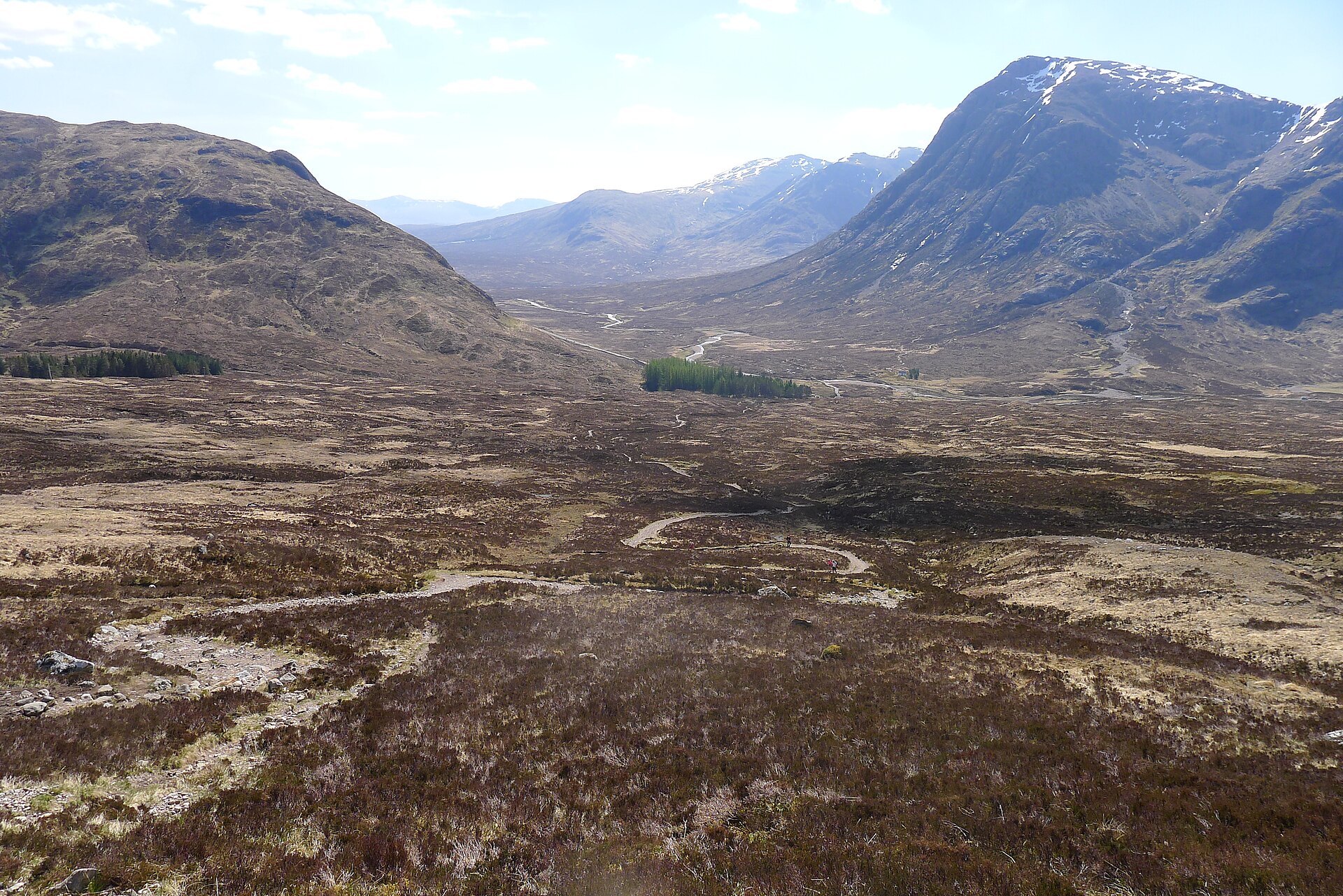
The West Highland Way's steepest, highest section, a zigzag climb from Altnafeadh to the highest point on the whole long-distance route.
The three-peaked Corbett above Loch Long, climbed from Succoth on a built path, with a scramble through a rock pinnacle to reach the true summit.
Places you can drive to, or reach in a few minutes from the car.
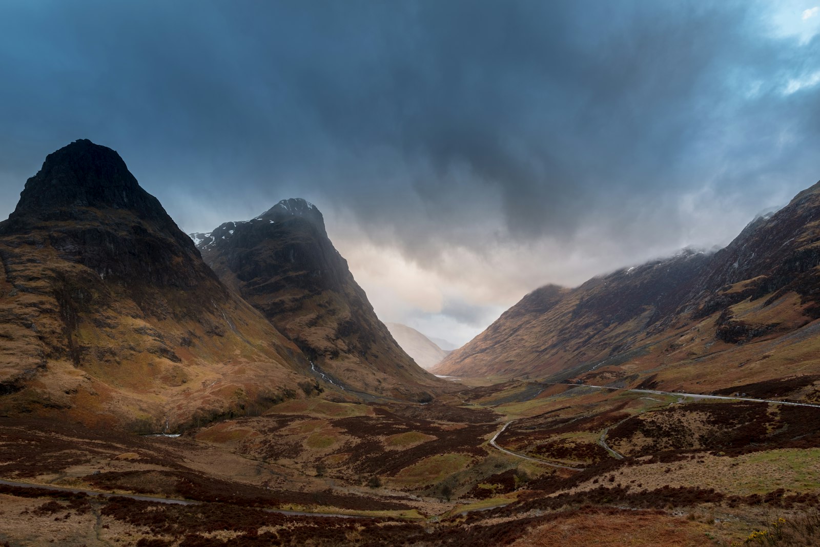
A roadside pull-in on the A82 with the classic view of the Three Sisters ridges, reached without leaving the car.
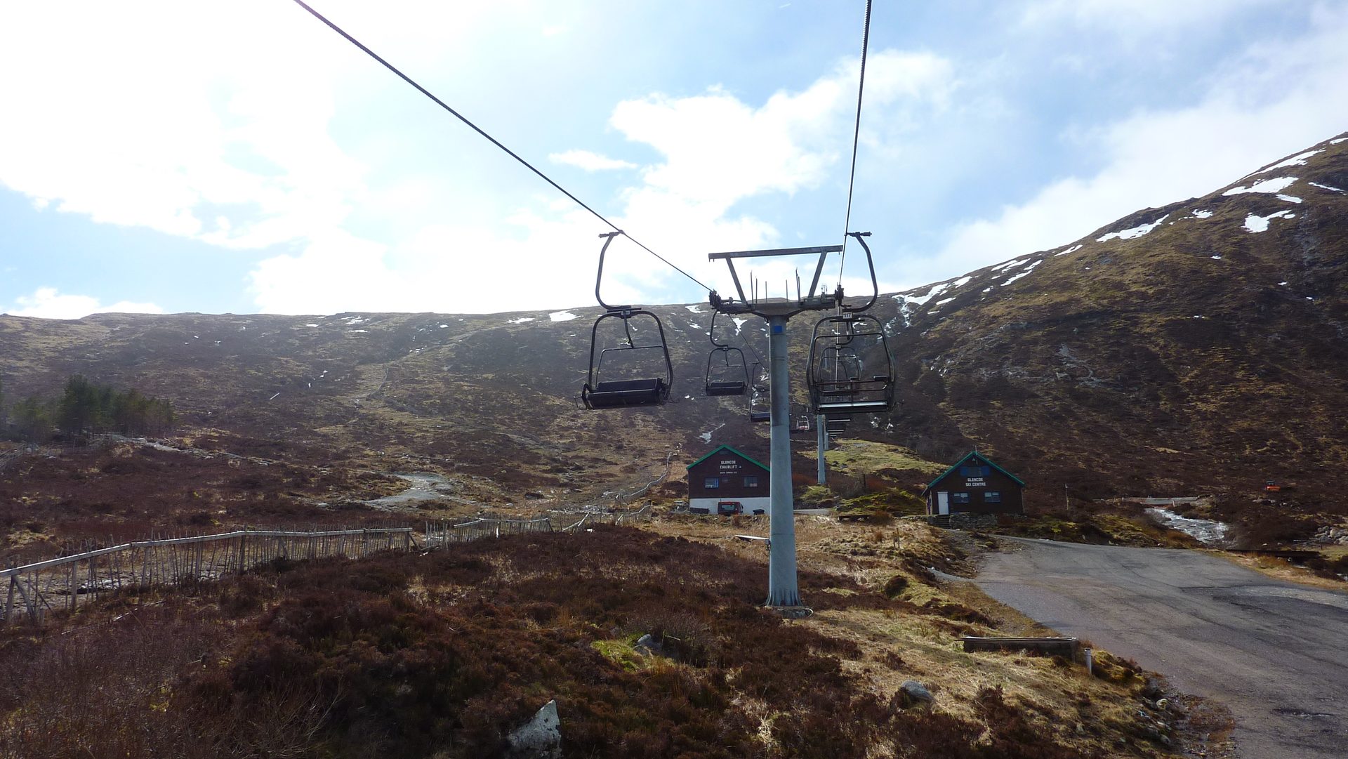
A chairlift-served bike park and summer activity centre at the head of Glen Coe, with cross-country and downhill mountain bike trails.
Booking links on these earn us a commission. The price you pay is the same either way.
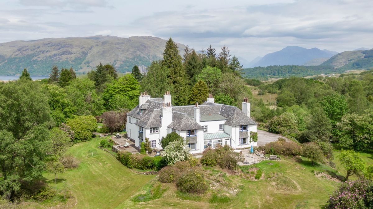
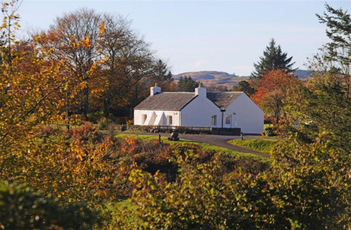
Taynuilt, Central Scotland
Sleeps 6 · 4 beds
from £601 / week
Check dates for Josephine's Wing (opens the booking site in a new tab)Checked 8 Oct
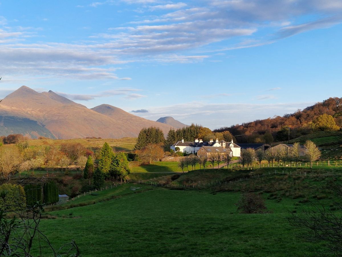
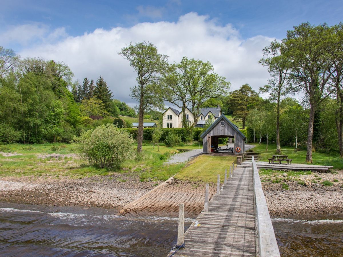
North Connel, near Oban, Central Scotland
Sleeps 6 · 3 beds
from £1,591 / week
Check dates for Tigh Grianach (opens the booking site in a new tab)Checked 8 Oct
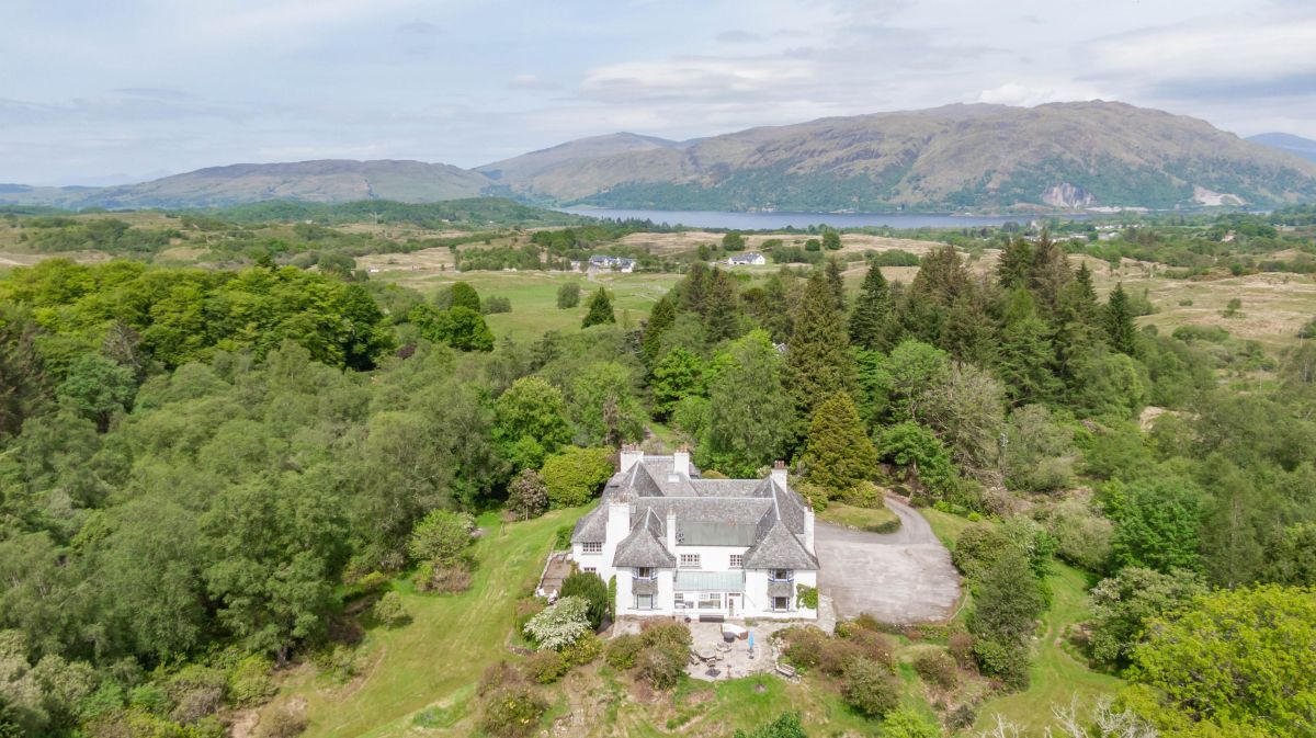
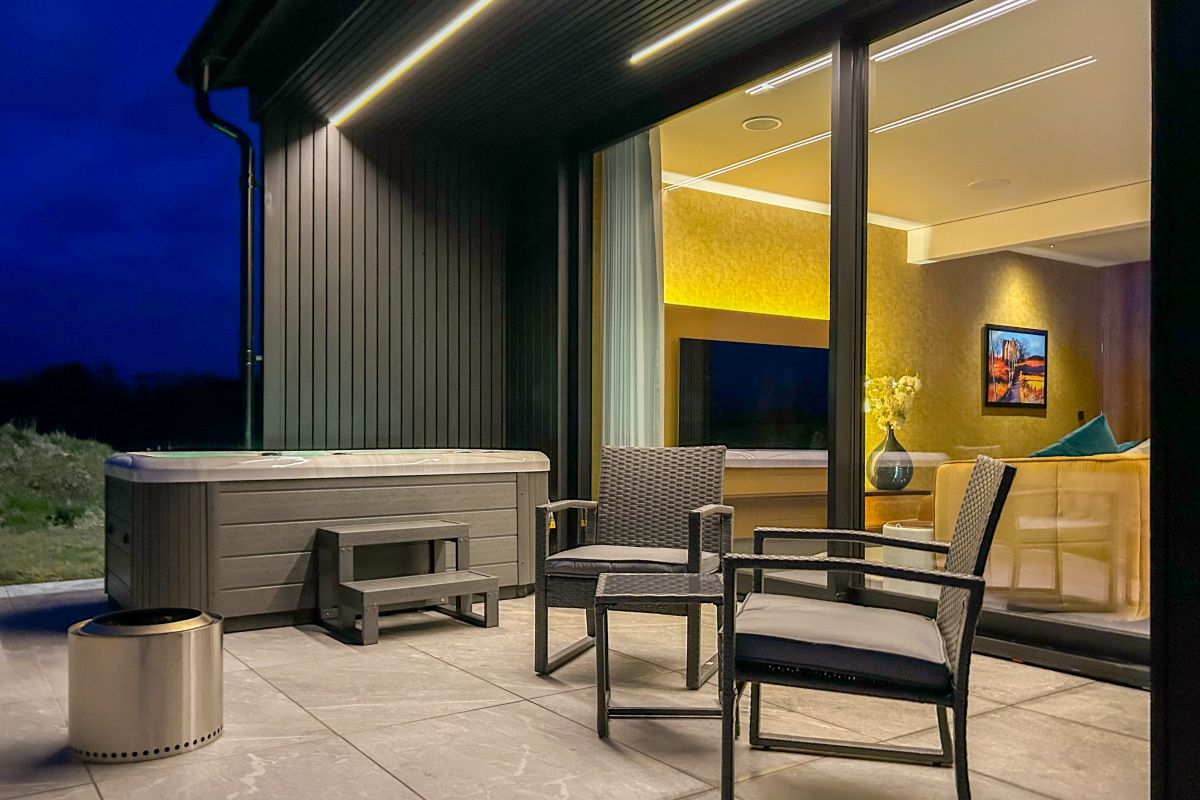
Kilchrenan, near Taynuilt, Central Scotland
Sleeps 10 · 5 beds
from £4,858 / week
Check dates for Achnasmeorach House (opens the booking site in a new tab)Checked 8 Oct
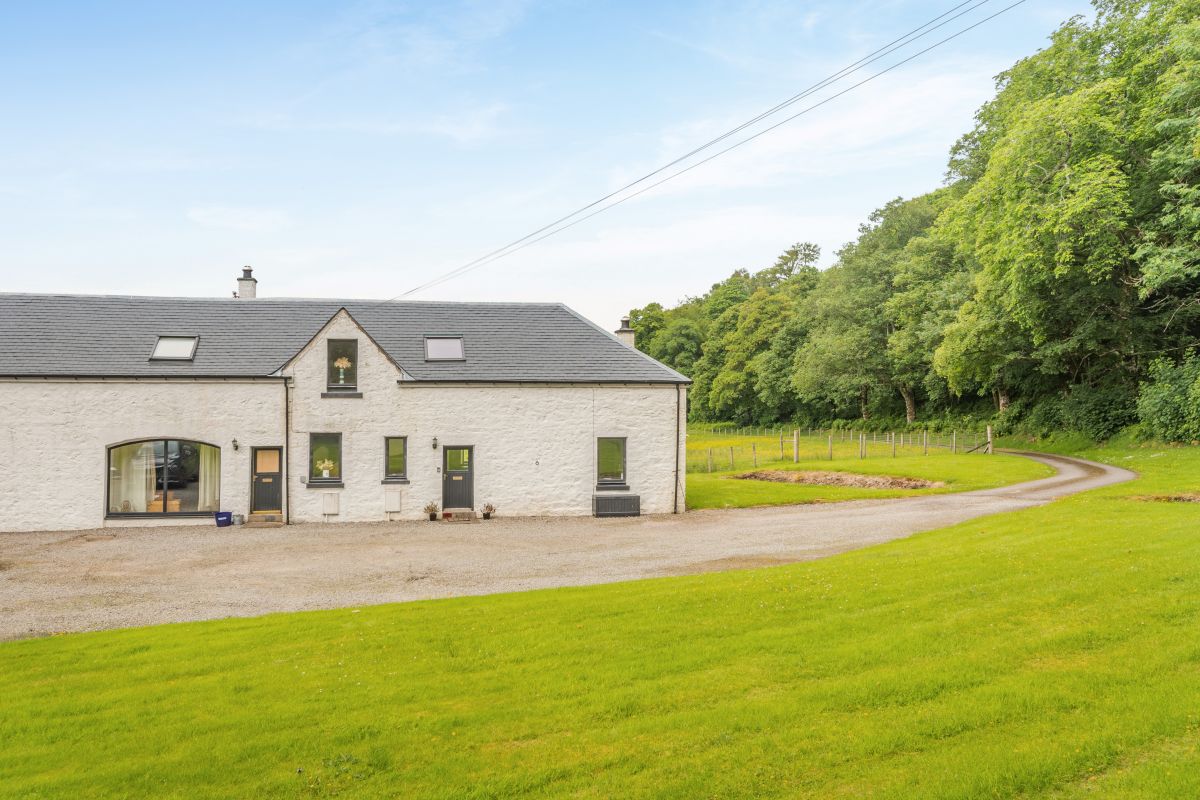
Oban, Central Scotland
Sleeps 2 · 1 bed
from £1,270 / week
Check dates for The Suite at Slochd (opens the booking site in a new tab)Checked 7 Oct
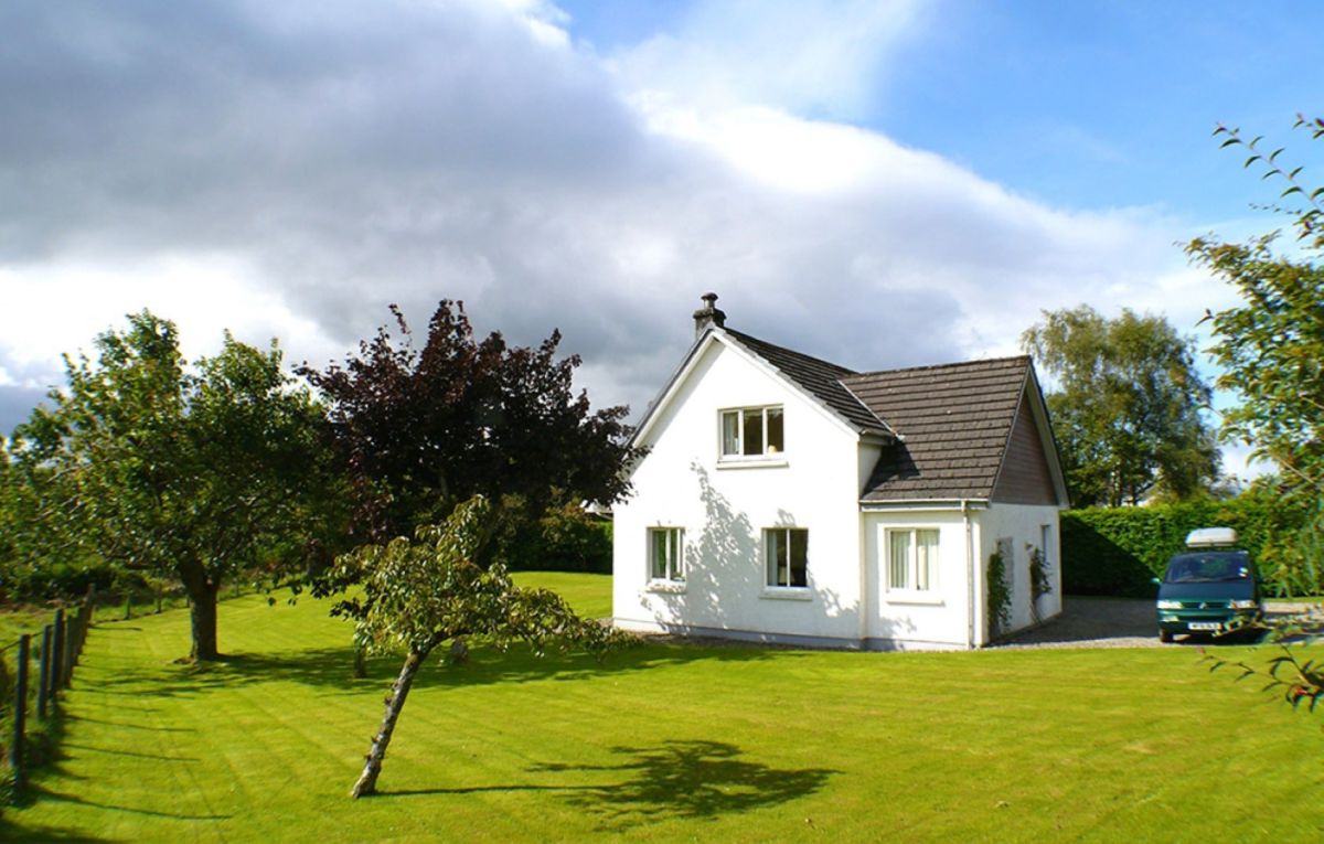
Connel, Near Oban, Central Scotland
Sleeps 2 · 1 bed
from £606 / week
Check dates for The Tranquil Cottage Oban (opens the booking site in a new tab)Checked 7 Oct