
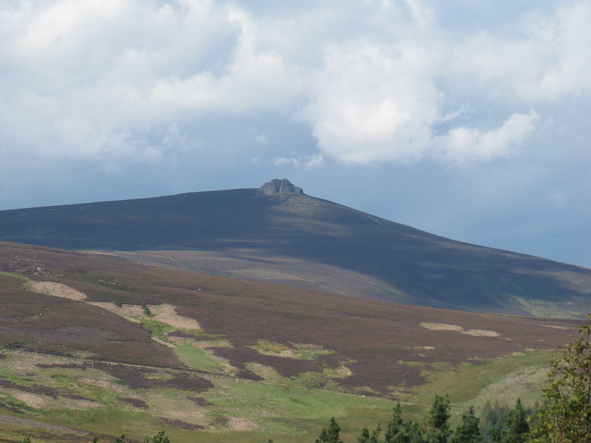
Clachnaben from Glen Dye
A 589m Aberdeenshire hill in Glen Dye, climbed on a built path to a granite tor that ends in an easy scramble, 9km and 511m of ascent.
Moderate
- 9 km
- 511 m up
- 3 hr
Gaelic: Abèidh
Glen Tanar's village, and the north side of Mount Keen.
Aberdeen
49.7 km by road
Aboyne's own station, on the Deeside line, closed in 1966; Stagecoach route 201 runs up Deeside from Aberdeen.
Aboyne is a village of 2,910 people, by the 2022 figure its Local Place Plan gives, on the River Dee about 30 miles west of Aberdeen, and the plan places it just outside the Cairngorms National Park. Wikipedia says the Highland Games are held on the green in August. The reason to sleep here is south of the river: Glen Tanar, an estate whose own site claims more than 100 miles of trails, with a Scots pinewood that Walkhighlands calls the largest remnant of Caledonian pinewood on the south side of the Cairngorms and a National Nature Reserve along its lower reaches.
Glen Tanar is also the northern way up Mount Keen, the most easterly Munro at 939m. Walkhighlands calls the Glen Esk route from the south the shortest and the Glen Tanar approach the finest. Aboyne is the village at the foot of the glen, with a path into it, and it suits a week spent in Glen Tanar and on the moors round it; for Lochnagar, Ballater is nearer the start.
Every waymarked walk in the glen starts at the Braeloine visitor centre, which the Glen Tanar Charitable Trust runs with its ranger service, and the trust says the Aboyne and Dinnet link paths reach the glen without a car and make a loop with the Deeside Way possible. Its own walks run from a 600m stroll to the Juniper Viewpoint to the 8.3km Old Pines Path. Drivers go round, by Dinnet Bridge and back east along the B976, as the estate directs.
Mount Keen by Glen Tanar is the hard day. Walkhighlands gives 29.5km and 870m of ascent in eight to nine hours from the Braeloine car park, on good track and path with a long approach, and lists no public transport to the start. The estate says experienced mountain bikers ride to the summit, and Wikipedia notes that walkers cycle as far up the glen as they can before walking the rest. The Mount Keen page on this site describes the Glen Esk route from Invermark instead, which is about 42 miles from Aboyne by road; read it for the summit, not for the start.
Morven, a Corbett that Walkhighlands says dominates the farmland of Cromar, starts at the end of the public road towards Groddie, off the A97 near Logie Coldstone, about 10 miles away: 8.75km and 655m of ascent in three and a half to four and a half hours on a steep hill path with short boggy sections. Clachnaben, in Glen Dye, is about 14 miles by road, and the Spittal of Glenmuick, for Lochnagar, about 20.
The Deeside line reached Aboyne in 1859 and the station closed in 1966, Wikipedia says; the old line is now the Deeside Way and the station building holds shops. The nearest railway is in Aberdeen, about 31 miles away. Stagecoach route 201 runs from Union Square in Aberdeen up Deeside through Banchory, Aboyne and Ballater to Braemar, and NatureScot says it stops in Dinnet for the Muir of Dinnet. Walkhighlands records charges at the Braeloine and Burn o’ Vat car parks.
The Muir of Dinnet National Nature Reserve, which NatureScot places inside the national park, is the easier half-day. Its visitor centre at the Burn o’ Vat is the start of four signposted trails, and the Vat itself is a cauldron-shaped pothole, NatureScot says, gouged out by rocks carried in a stream under a glacier, entered through a narrow crack in the rock. Walkhighlands warns that the stepping stones at its entrance are uneven, slippery and sometimes under water, and NatureScot offers a low-level there-and-back path to the Vat as the easier option. The waymarked loop round Loch Kinord is 6.2km with 30m of ascent by Walkhighlands’ figures, past the site of an iron-age crannog and a Pictish symbol stone. In Glen Tanar, the shorter trust walks from Braeloine suit small legs, and the trust’s ranger service runs a monthly programme of events.
Walkhighlands records a charged car park at Braeloine, by the Glen Tanar visitor centre, and another at the Burn o' Vat visitor centre in the Muir of Dinnet.
Aboyne is on the A93, the North Deeside road from Aberdeen to Ballater and Braemar; the Glen Tanar Estate directs drivers to Glen Tanar by Dinnet Bridge and the B976.
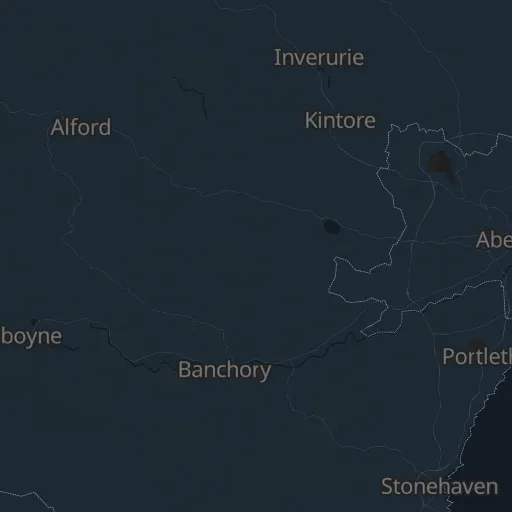
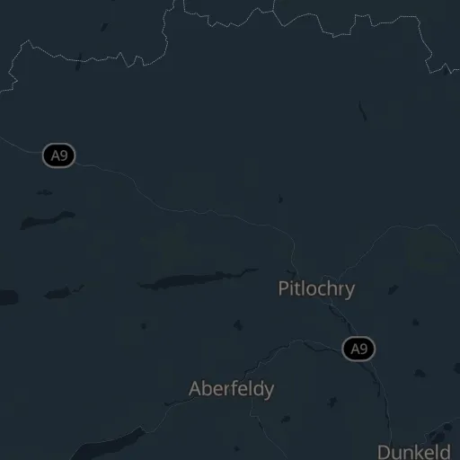
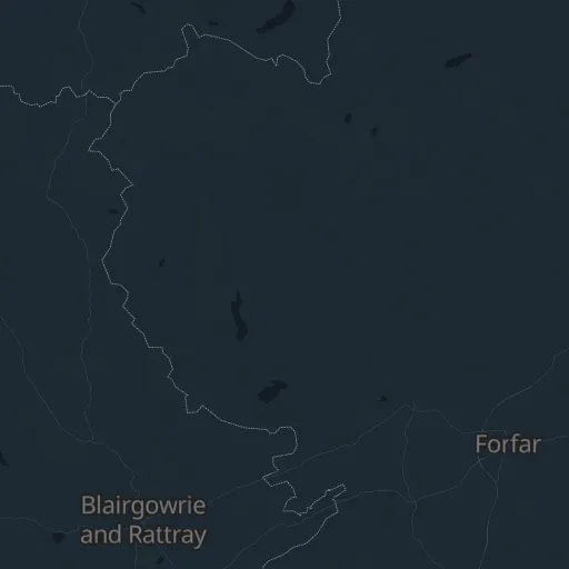
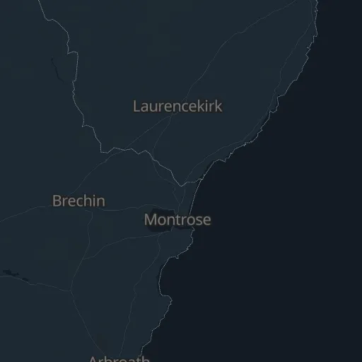

A 589m Aberdeenshire hill in Glen Dye, climbed on a built path to a granite tor that ends in an easy scramble, 9km and 511m of ascent.
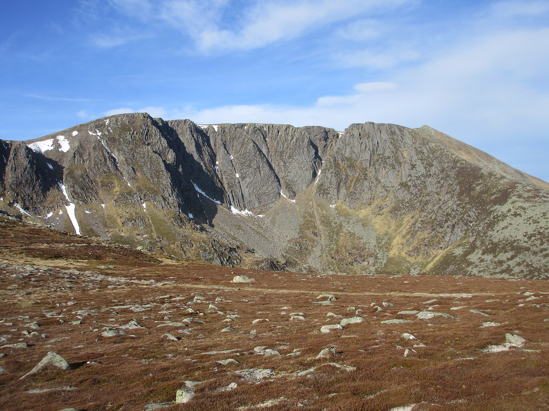
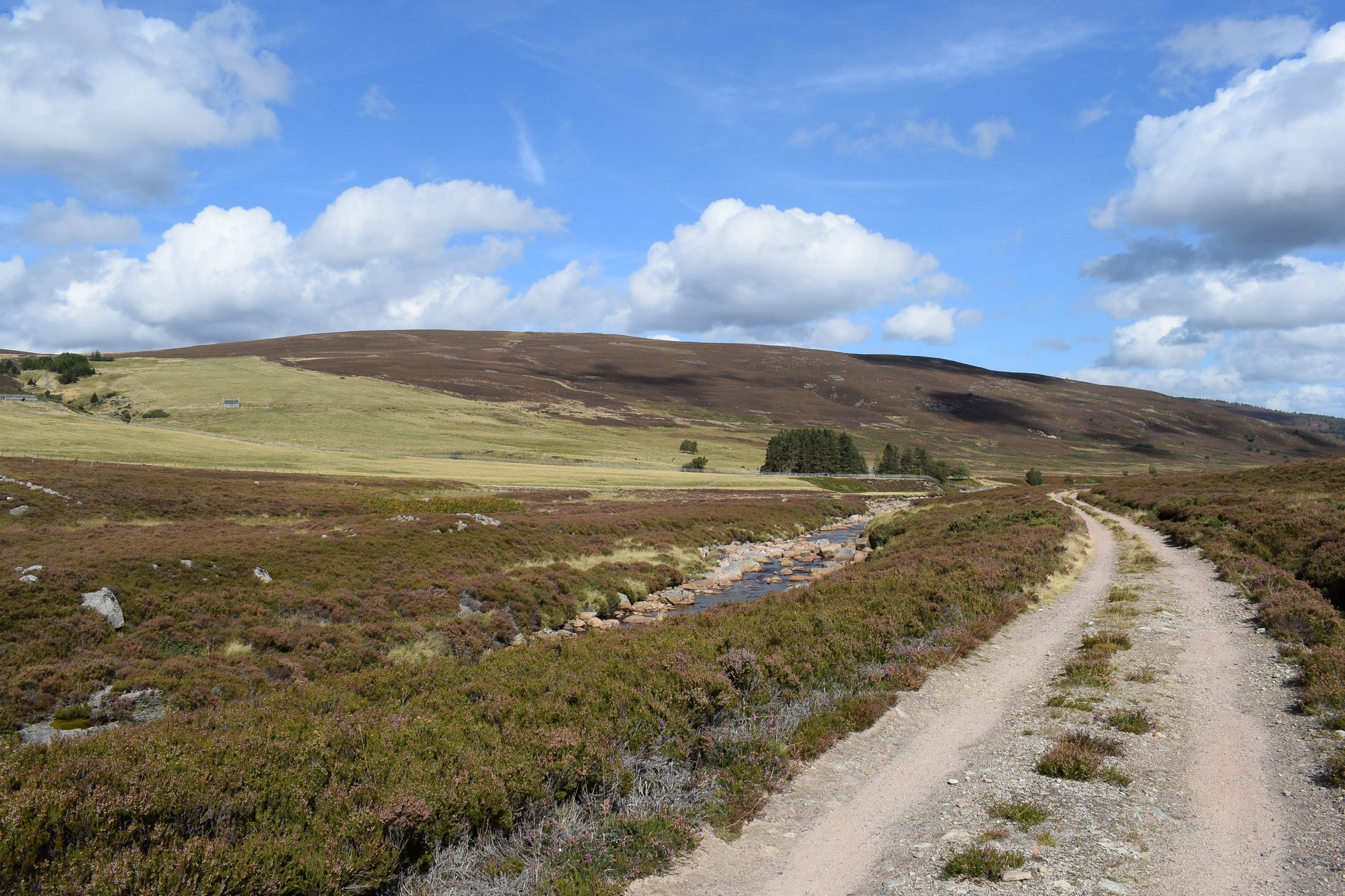
The highest and most visited mountain of the Mounth, circled from Spittal of Glenmuick on Balmoral estate land past its northern corrie, in 19km and 930m.
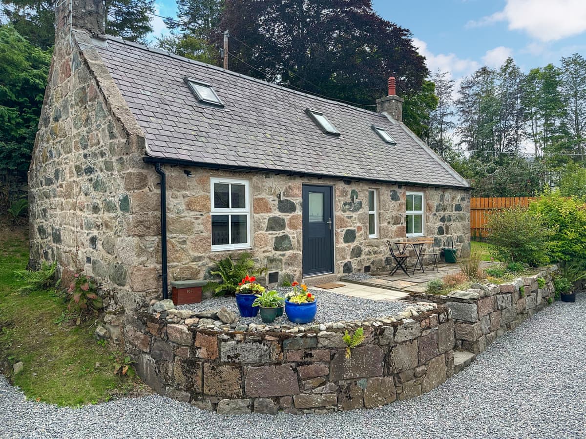
Aboyne
Sleeps 3 · 2 beds
Nearest walk: Clachnaben from Glen Dye, 16.2km
from £721 / week
Checked 1 Nov
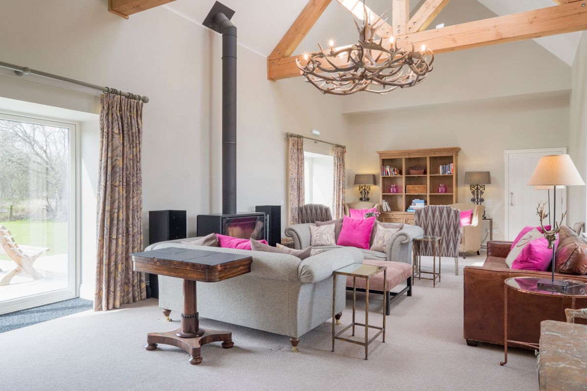
Scottish Highlands
Sleeps 20 · 10 beds
Nearest walk: Clachnaben from Glen Dye, 14.9km
Checked 24 Oct
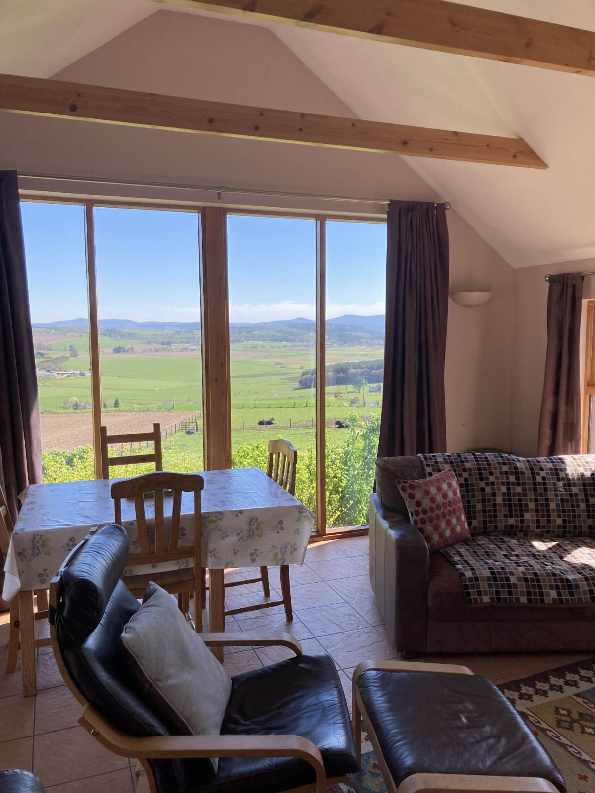
Lumphanan, Northern Scotland
Sleeps 4 · 2 beds
Nearest walk: Clachnaben from Glen Dye, 19.3km
from £790 / week
Checked 1 Nov
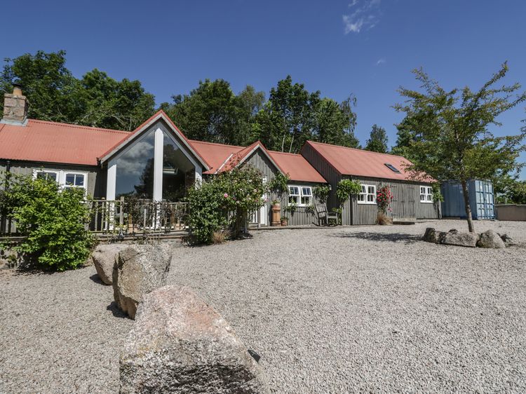
Finzean near Aboyne
Sleeps 4 · 2 beds
Nearest walk: Clachnaben from Glen Dye, 7.1km
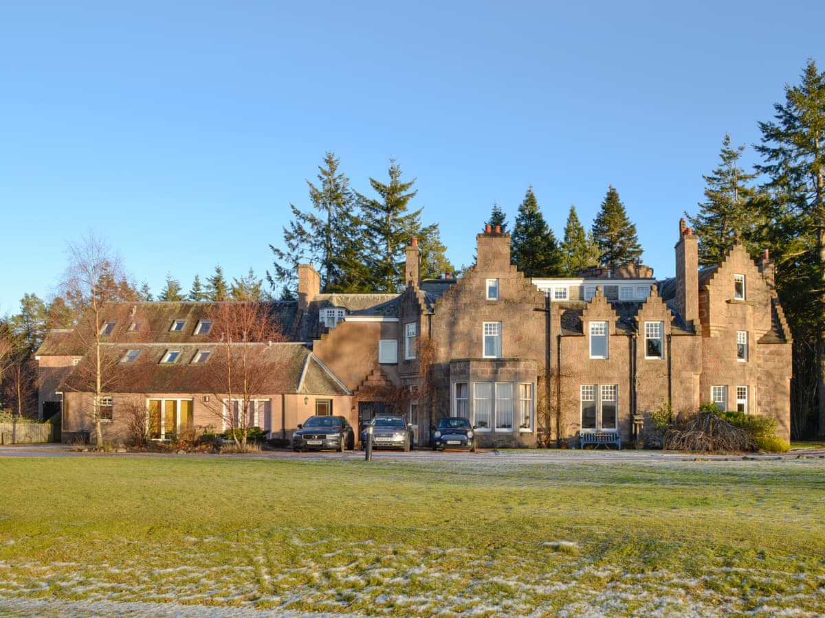
Aboyne
Sleeps 4 · 2 beds
Nearest walk: Clachnaben from Glen Dye, 17.6km
from £363 / week
Checked 1 Nov

Dinnet, near Aboyne, Northern Scotland
Sleeps 6 · 3 beds
Nearest walk: Lochnagar from Spittal of Glenmuick, 22.6km
from £689 / week
Checked 1 Nov
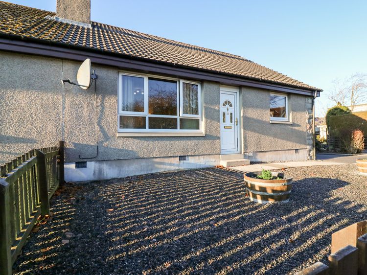
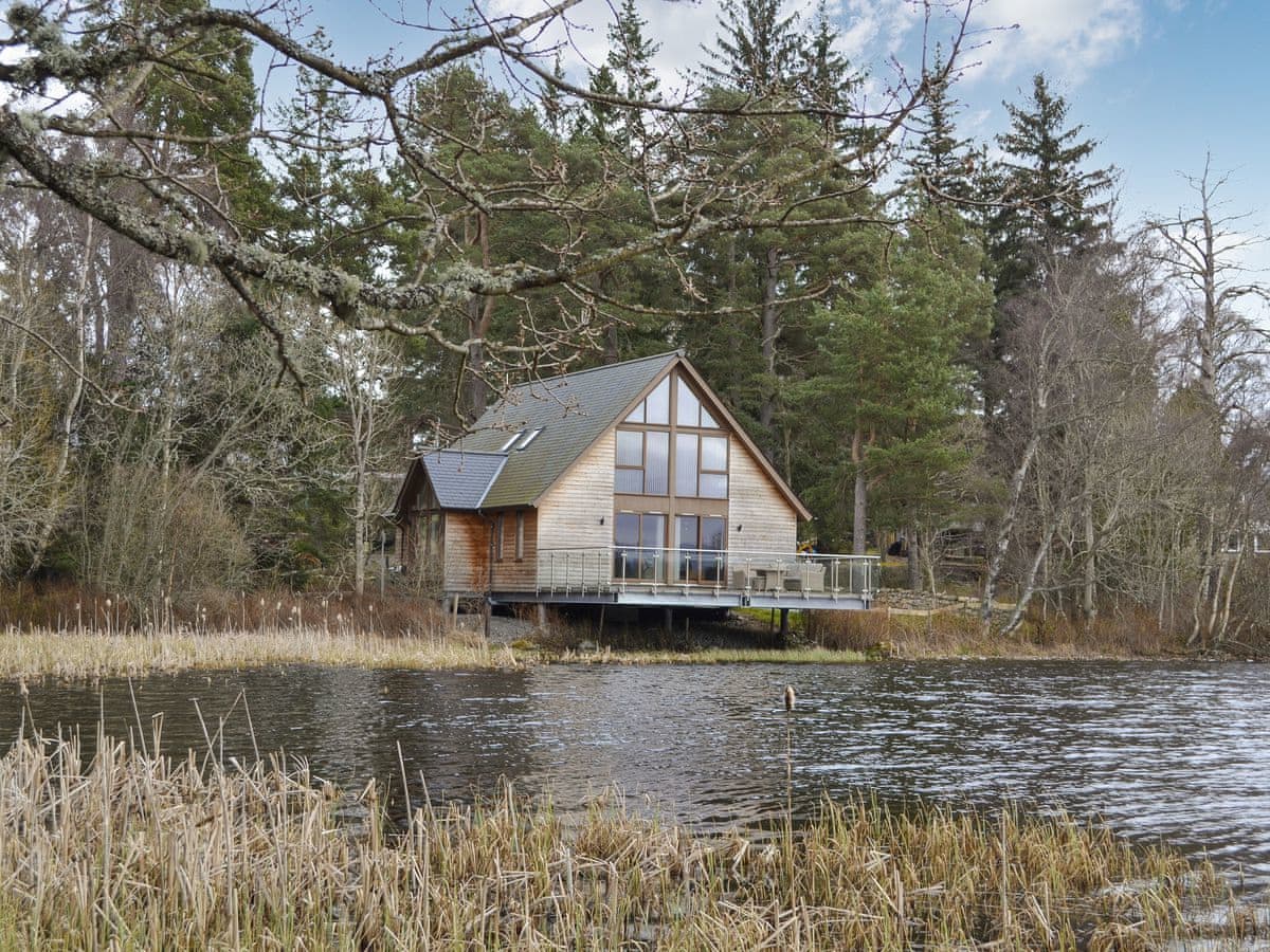
Aboyne
Sleeps 6 · 3 beds
Nearest walk: Clachnaben from Glen Dye, 16.8km
from £1,072 / week
Checked 1 Nov