Mont d'Arbois and Mont Joux from Megève
Near Megève, France
- Distance
- 11.7 km
- Ascent
- 673 m
- Time
- 3 hr 45 min
- Difficulty
- Moderate
- Summit
- 1,958 m
- Shape
- Circular
Start: The bottom station of the Mont d'Arbois gondola in Megève, on foot from there
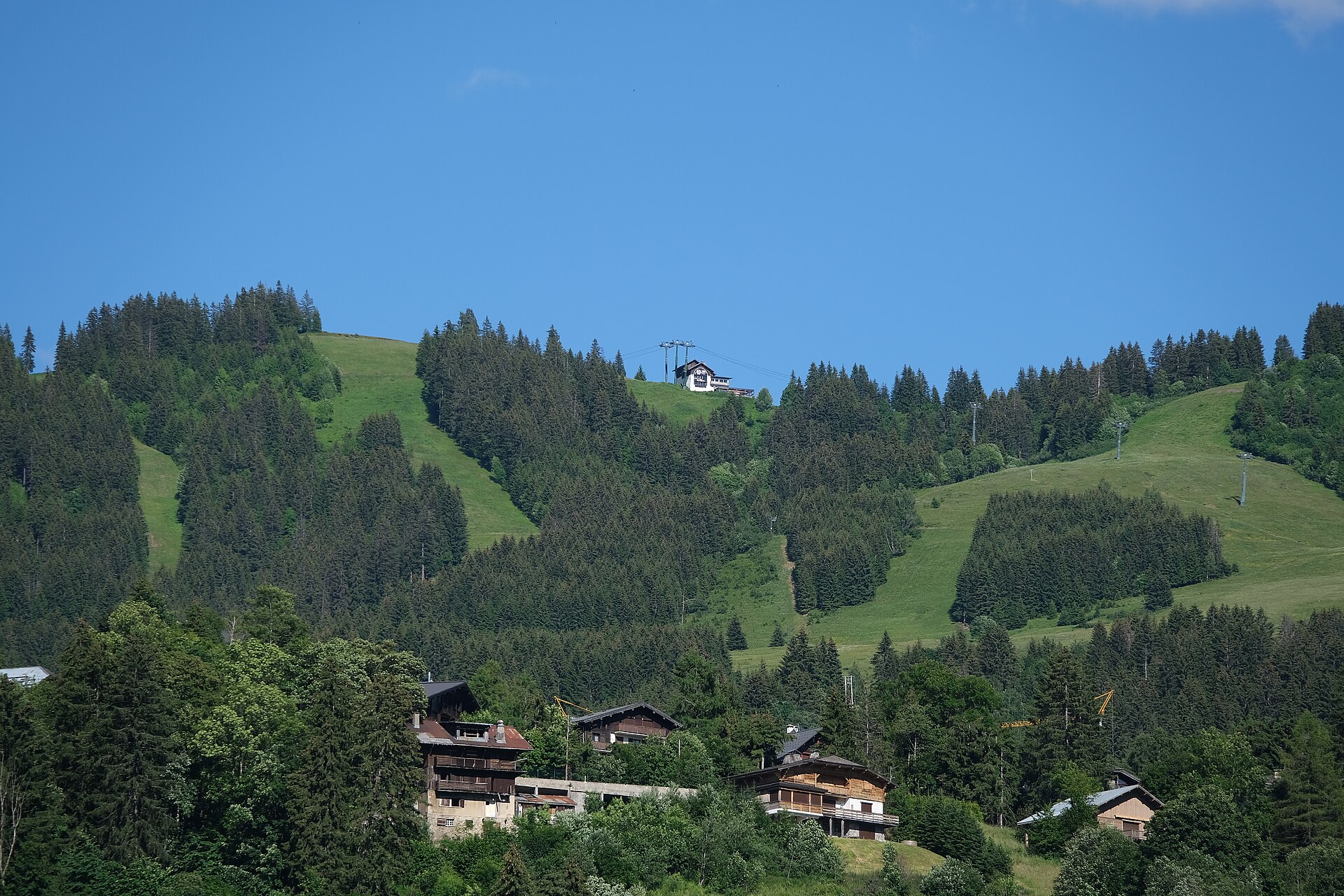
Mont d’Arbois is the long, gently sloping ridge above Megève that looks north over the Arve valley to Sallanches and Combloux, its highest point 1,839m. French Wikipedia records that the name once belonged to a lower hump at 1,827m at the end of the crest and moved to the true top later. It also gave its name to the Domaine du Mont d’Arbois, the hotel Noémie de Rothschild opened in 1921, around which the resort grew, and the road the walk ends on carries the family name.
The loop the Haute-Savoie tourist board describes starts on foot at the bottom station of the Mont d’Arbois gondola and follows the road towards the hamlet of Le Planellet, then the signs for Mont d’Arbois on a variant of the Tour du Pays du Mont Blanc, waymarked yellow and red. From the gondola’s top station it takes the path beside the restaurant and follows the line of the crest past the Bettex gondola to Mont Joux, at 1,958m, which has an orientation table; the board names the view along the crest as Mont Blanc, the Aravis, the Val d’Arly and the Arve valley. The way down passes the Joux chalets and the Lac de Joux, enters the forest, crosses the Tornay pastures at 1,620m, and returns by Le Planellet and about ten minutes on the Route Edmond de Rothschild.
The board gives 11.7km, 673m of ascent and descent and three hours and 45 minutes, on a waymarked loop over earth paths that it marks as not suitable for pushchairs.
This suits a walker who wants a half day with a Mont Blanc view straight from the town, and anyone not yet ready for the full eight hours of Mont Joly, which continues along the same ridge. It is not a walk for anyone wanting a quiet top, since both gondolas reach the crest; the Chalets de Miage, on the Saint-Gervais side, are a loop that no lift serves.
Underfoot
Earth paths and a ridge line over open pasture to Mont Joux, then down past the Joux chalets and lake through forest and the Tornay alpine pastures, with a last stretch on the surfaced Route Edmond de Rothschild. Not suitable for pushchairs.
Stay within reach of the start
Booking through these links earns a commission. The price is the same.
Distances, ascent and times here are planning figures taken from published sources, not a route description to navigate by. Take a map and check the forecast.