Aran Fawddwy from Cwm Cywarch
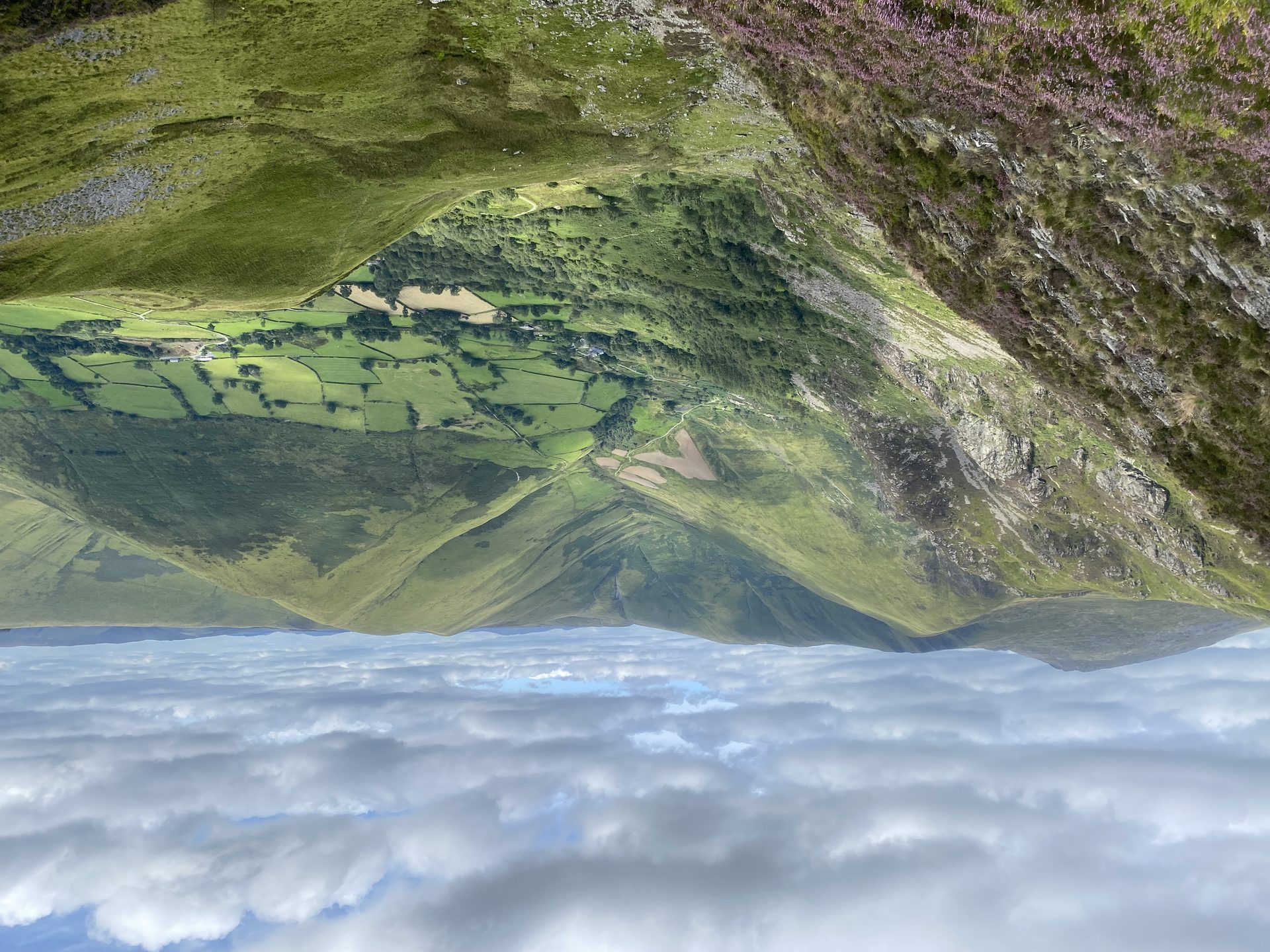
The highest mountain in Britain south of Yr Wyddfa, climbed from the head of Cwm Cywarch, with a cliff above Creiglyn Dyfi, the source of the Dyfi.
- 12.2 km
- 798 m up
- 6 hr moving
- Hard
A quiet Dyfi village under the Aran, for drivers only.
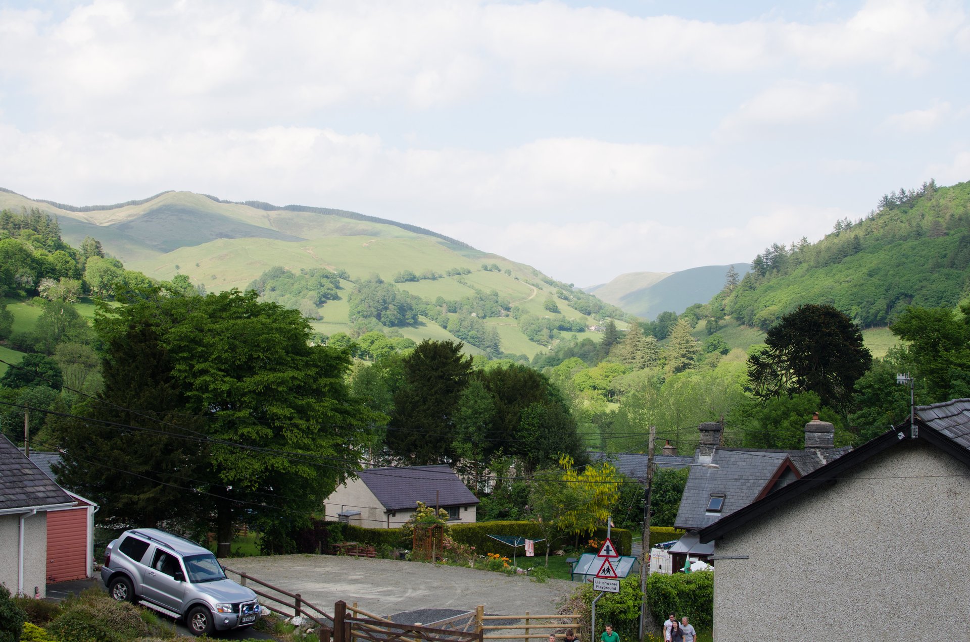
Machynlleth
Dinas Mawddwy had its own station on the Mawddwy Railway until passenger services ended on 1 January 1931; Machynlleth, on the Cambrian Line, is about 18km away in a straight line.
3
77
Dinas Mawddwy is a village of about 600 people in south-east Gwynedd, at the meeting of the Afon Cywarch and Afon Cerist with the River Dyfi. It lies inside Eryri (Snowdonia) National Park but just east of the A470, which Wikipedia says is why many visitors pass it by. It received a borough charter in 1394 and kept that status until 1886, and in the sixteenth century the district was the haunt of the Gwylliaid Cochion Mawddwy, the Red Bandits, a band of highway robbers Wikipedia says were hanged or exiled.
Wikipedia calls the unclassified road from the village up to Bwlch y Groes the closest access to Aran Fawddwy, and the village the nearest settlement to Craig Cywarch. Aran Fawddwy at 906m is the highest mountain in Britain south of Yr Wyddfa, and the start of its walk is about 4.0km from the village in a straight line. That is the whole case: the highest ground south of Yr Wyddfa about 4km from the bed, and a village at the quiet end of the park to come back to. Torrent Walk is about 10.3km away and the Minffordd Path up Cadair Idris about 13.0km, both in a straight line.
Every walk here needs a car. Aran Fawddwy starts at the car park at the head of Cwm Cywarch, up the valley road from the village. Torrent Walk starts at a lay-by near Brithdir on the B4416, and the Minffordd Path at the Dôl Idris car park, both on the Dolgellau side. Lloyds Coaches runs route 36 between Dinas Mawddwy and Machynlleth, calling at Mallwyd, and Traveline Cymru publishes its timetable; it does not reach any of the three starts.
The Mawddwy Railway, just under seven miles long, joined the village to the Cambrian Railways at Cemmaes Road. It opened in 1867, carried passengers until 1 January 1931 and closed completely in 1951, so there is no station here. The nearest today is Machynlleth, and the village is about 18km from it in a straight line. By road the A470 passes just to the west, with Mallwyd two miles south on the junction for the A458 to Welshpool. Wikipedia places the village within the Dyfi Biosphere, designated by UNESCO in 2009.
Anyone without a car, since the one bus goes to Machynlleth and the walks start up side roads. Machynlleth is the better base for someone arriving by train who wants Cadair Idris, because the T2 bus reaches the Minffordd Path from there. Anyone who wants Cadair Idris as the main event is better in Dolgellau, which has the Minffordd Path and Torrent Walk close at hand and the Mawddach Trail for a day off the hill.
The village lies just east of the A470, on the road to Llanuwchllyn over Bwlch y Groes.
The highest mountain in Britain south of Yr Wyddfa, climbed from the head of Cwm Cywarch, with a cliff above Creiglyn Dyfi, the source of the Dyfi.
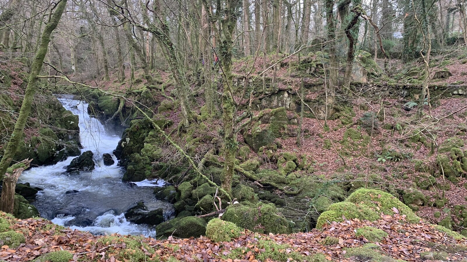
A short circular walk beside cascades on the Afon Clywedog near Dolgellau, through native woodland with old industrial remains.
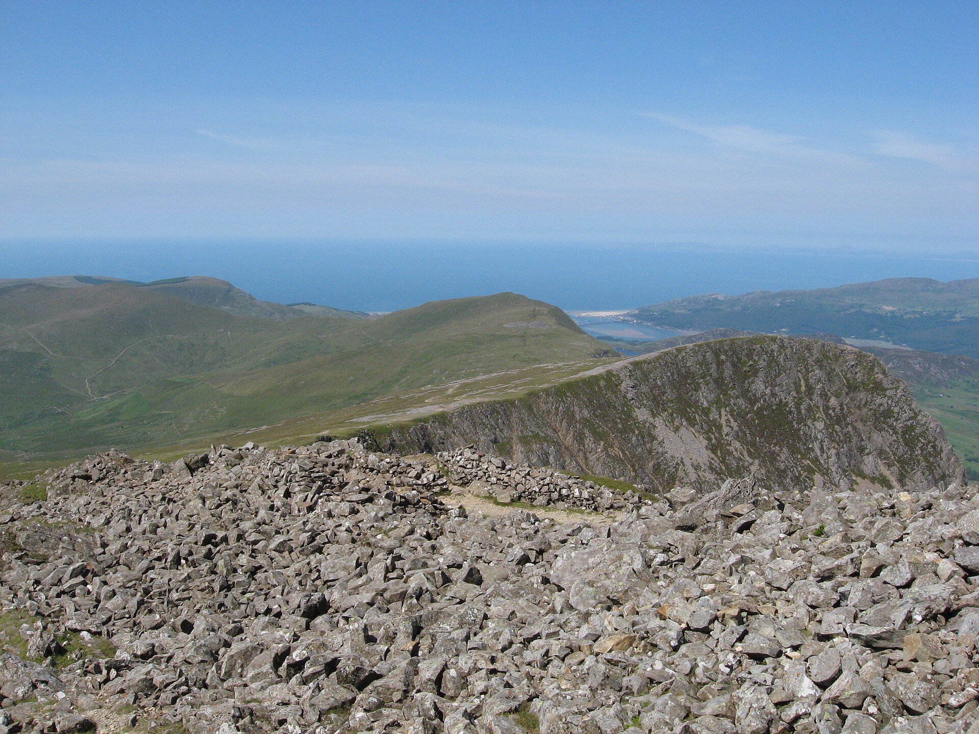
The steepest path up Cadair Idris and thought to be the shortest, past the corrie lake Llyn Cau to the summit, Penygadair, at 893 metres.
Booking through these links earns a commission. The price is the same.
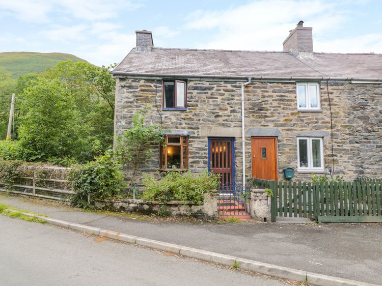
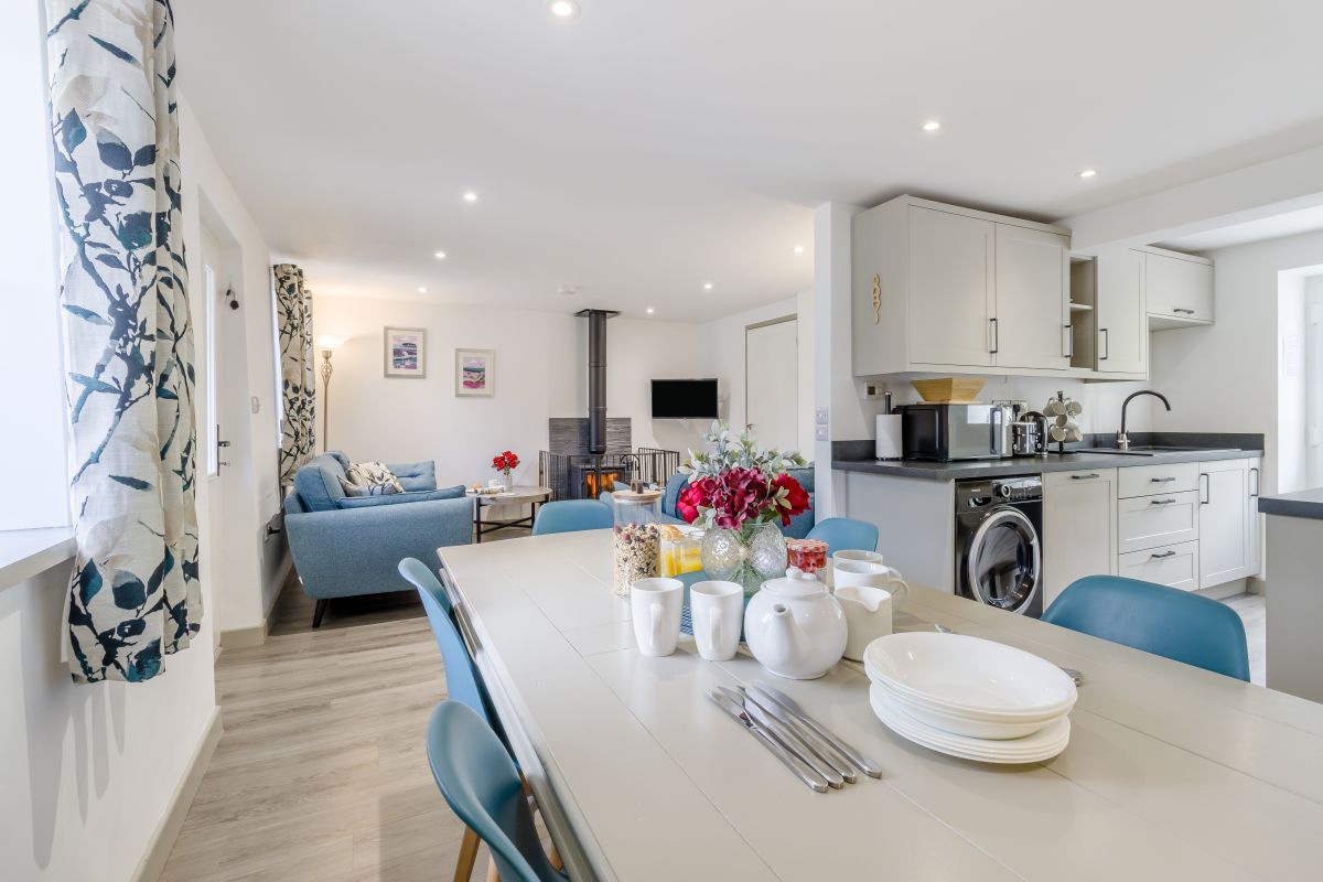
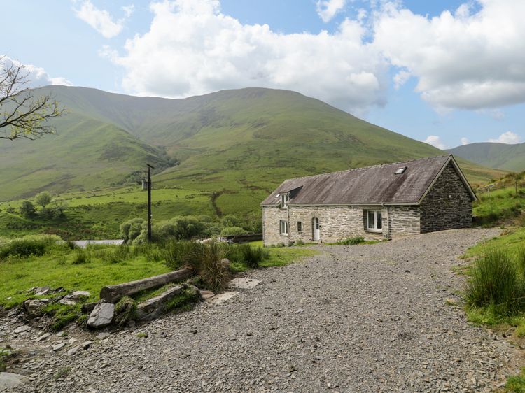
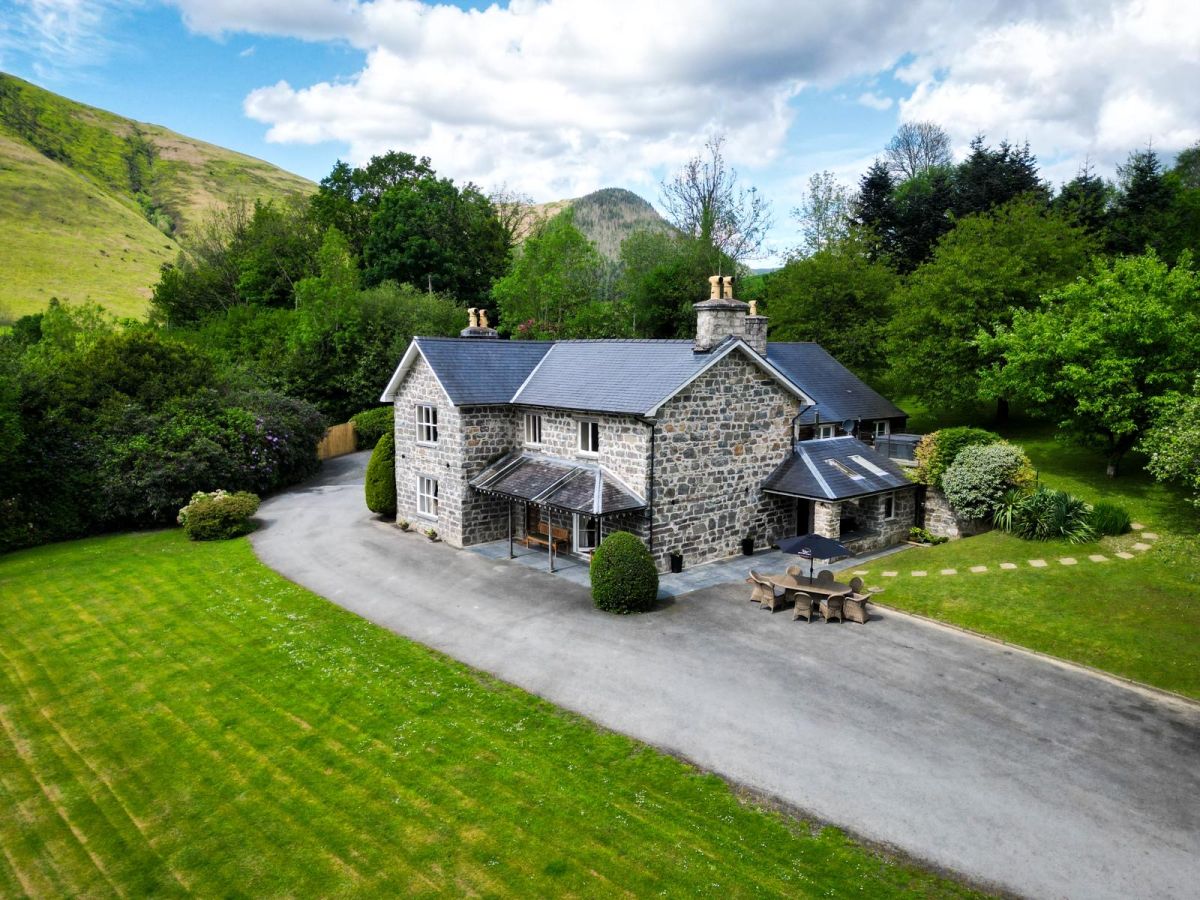
Dinas Mawddwy
Sleeps 10 · 4 beds
from £873 / week
Check dates for Pennant Tigi Uchaf (opens the booking site in a new tab)Checked 8 Oct
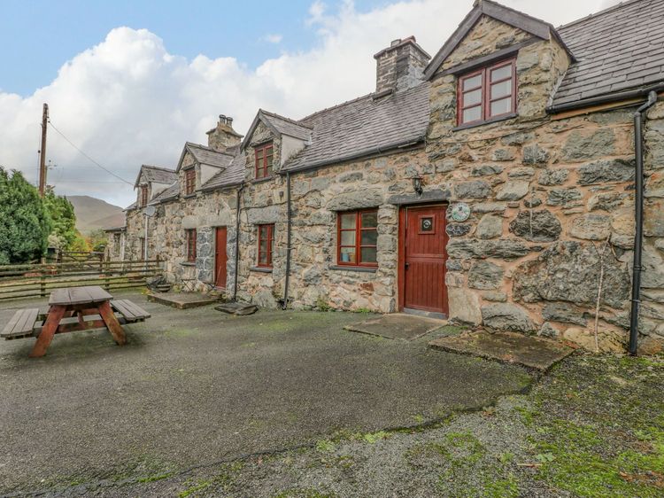
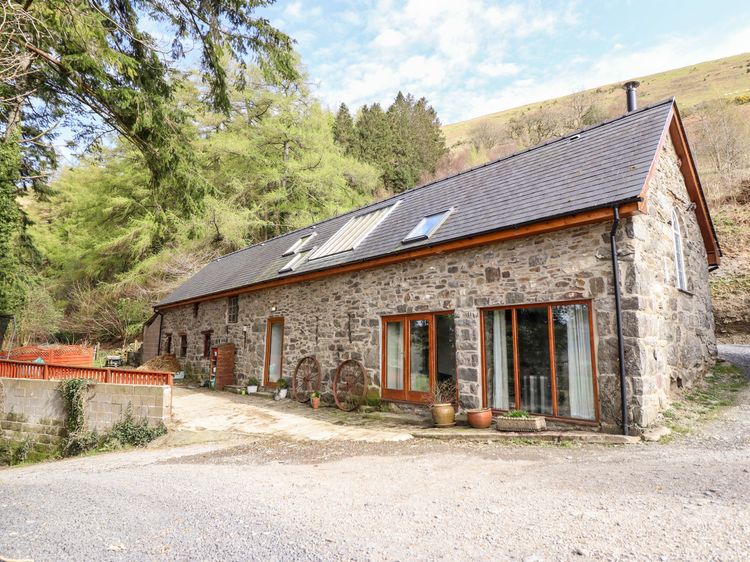
Mallwyd
Sleeps 4 · 2 beds
from £689 / week
Check dates for Ysgubor Craig Y Gronfa (opens the booking site in a new tab)Checked 8 Oct