Bleaklow Head and the B-29 wreck
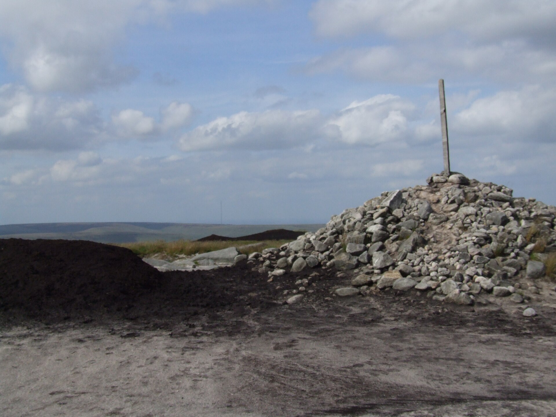
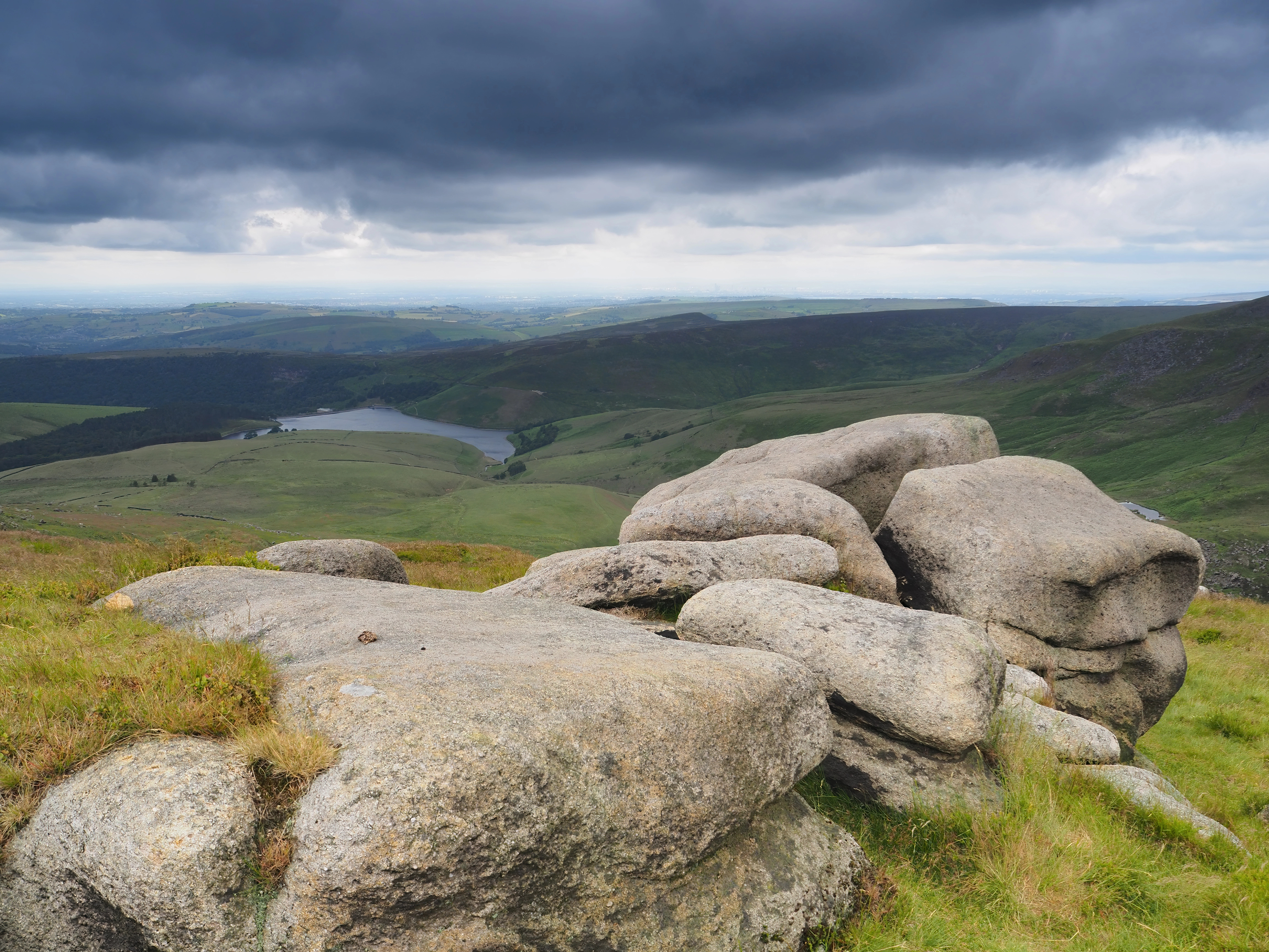
A rough moorland circuit from the Snake Pass onto Bleaklow Head, crossing Doctor's Gate to the wrecked B-29 bomber at Higher Shelf Stones.
- 15.4 km
- 470 m up
- 5 hr 50 min moving
- Hard
The Mass Trespass village, at Kinder Scout's western foot.
New Mills Central
In New Mills, 3 miles west of the village, on the Hope Valley line between Manchester Piccadilly and Sheffield; Hayfield's own station closed in January 1970.
4
89
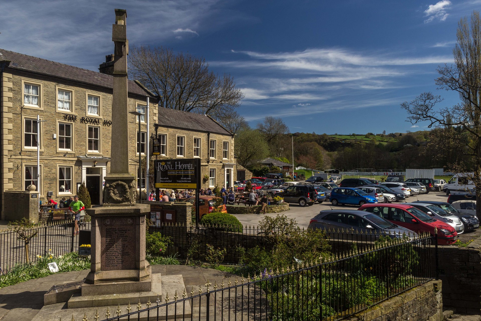
Hayfield is a village and civil parish in High Peak, with around 2,700 people, in the basin of the River Sett; Wikipedia puts it 3 miles east of New Mills, 4.5 miles south of Glossop and 10 miles north of Buxton. The parish takes in a significant part of the Kinder Scout plateau, though the village centre itself lies outside the Peak District National Park. A mile east, at Bowden Bridge, the rivers Sett and Kinder meet, and rights of way lead from there past Kinder Reservoir, built in 1911, onto the plateau.
Hayfield is where the Mass Trespass began. It set out from Bowden Bridge Quarry on 24 April 1932, and Wikipedia gives the Manchester Guardian’s estimate of about 400 walkers as the figure generally accepted. They went up William Clough to the plateau; five were arrested on the way back, and those convicted at Derby Assizes received between two and six months. Whether they reached the summit is still argued, and Tom Stephenson said in 1989 that they got only as far as Ashop Head. Wikipedia credits the protest with helping to build the case for the Countryside and Rights of Way Act 2000, and a plaque at the quarry, unveiled by Benny Rothman in April 1982, marks the start. That is a reason to stay.
Bleaklow, 8.7km away in a straight line, starts from a lay-by on the A57 below the top of the Snake Pass and runs 15.4km over peat, much of it pathless. Kinder Scout via Grindsbrook Clough, 8.9km, starts at Edale on the far side of the plateau, which makes Edale the better base for it. Mam Tor and the Great Ridge, 9.5km, begins at the National Trust car park at Mam Nick, and Winnats Pass, 10.8km, is the limestone gorge road west of Castleton. Reaching any of them from Hayfield means a drive, since the buses go to towns, not to those starts. What does begin in the village is the western approach to Kinder by Bowden Bridge, which the Ordnance Survey map shows.
Hayfield has no railway now. Wikipedia lists the nearest stations as Chinley and New Mills Central on the Sheffield to Manchester line, New Mills Newtown on the Buxton line and Glossop, the last three reached from Hayfield by bus. The bus station stands across the relief road from the village centre, with Stagecoach Manchester, part of TfGM’s Bee Network, running to Glossop, Chapel-en-le-Frith, New Mills, Buxton and Stockport. Walkers can also follow the Sett Valley Trail, the old branch line, which Wikipedia gives as 4km, from the bus station at its eastern end, where there is a car park and toilet. Check the operator’s timetable before relying on a bus.
Anyone without a car will find Bleaklow, Grindsbrook, Mam Tor and Winnats Pass out of reach from here. Edale, which has its own station on the Hope Valley line and the Grindsbrook route from the village, is the better base for Kinder, and Castleton for Mam Tor and Winnats Pass.
The A624 relief road runs through the village between Chapel-en-le-Frith and Glossop, and the A6015 leads to New Mills.
A rough moorland circuit from the Snake Pass onto Bleaklow Head, crossing Doctor's Gate to the wrecked B-29 bomber at Higher Shelf Stones.
A hard circular walk from Edale onto the Kinder Scout plateau, ascending Grindsbrook Clough and returning via Jacob's Ladder.
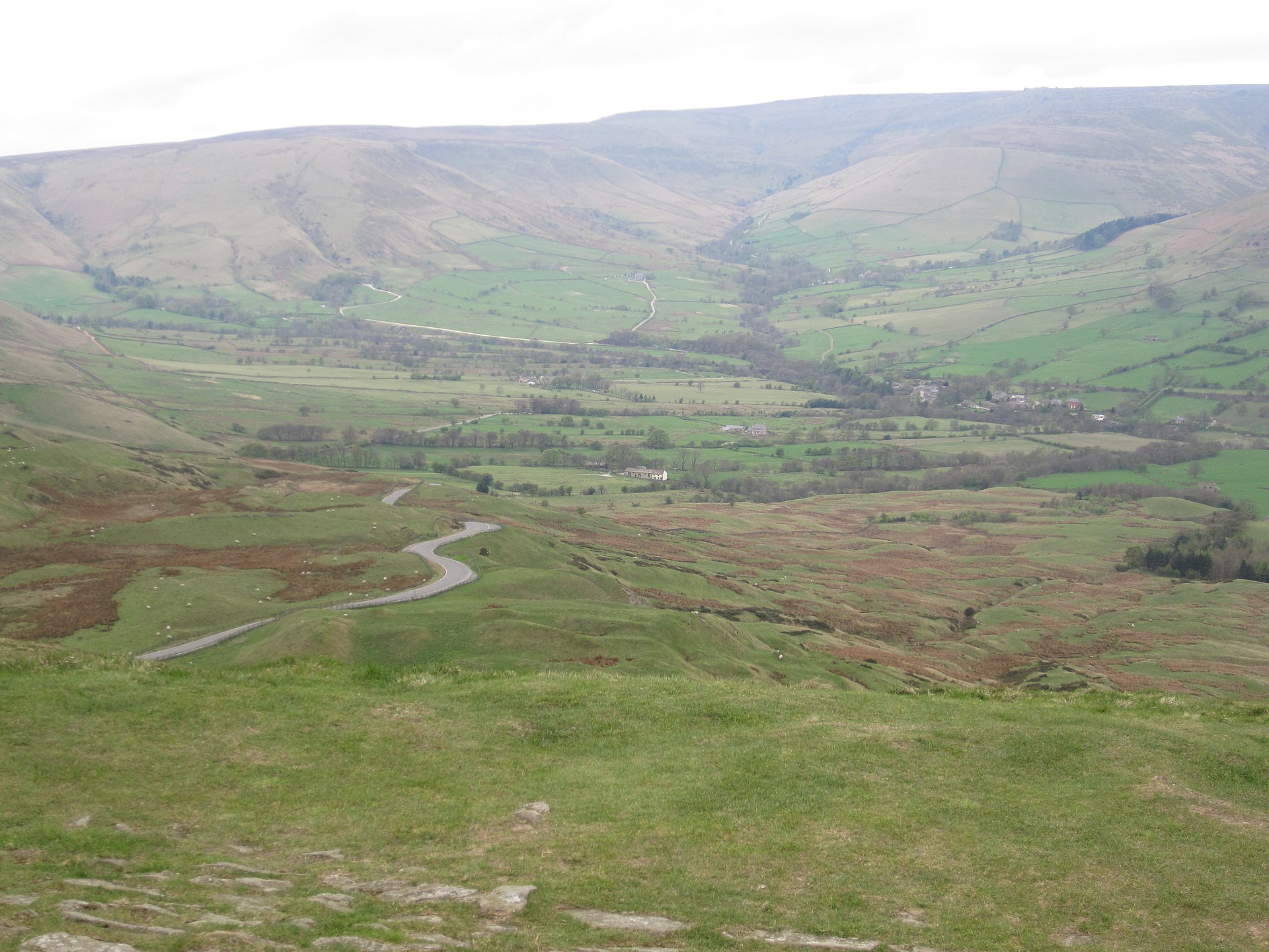
A circular walk onto Mam Tor's summit and along the start of the Great Ridge, including the abandoned Broken Road.
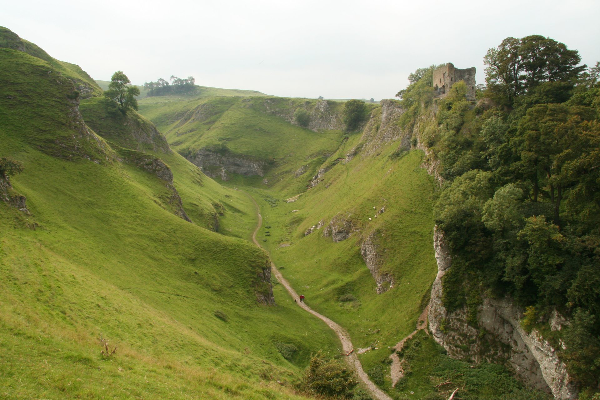
A short, steep circular walk from Castleton up a dry limestone gorge, past Peveril Castle, in the Peak District's Hope Valley.
Reached by car, by lift or by a short walk, rather than a day on the hill.
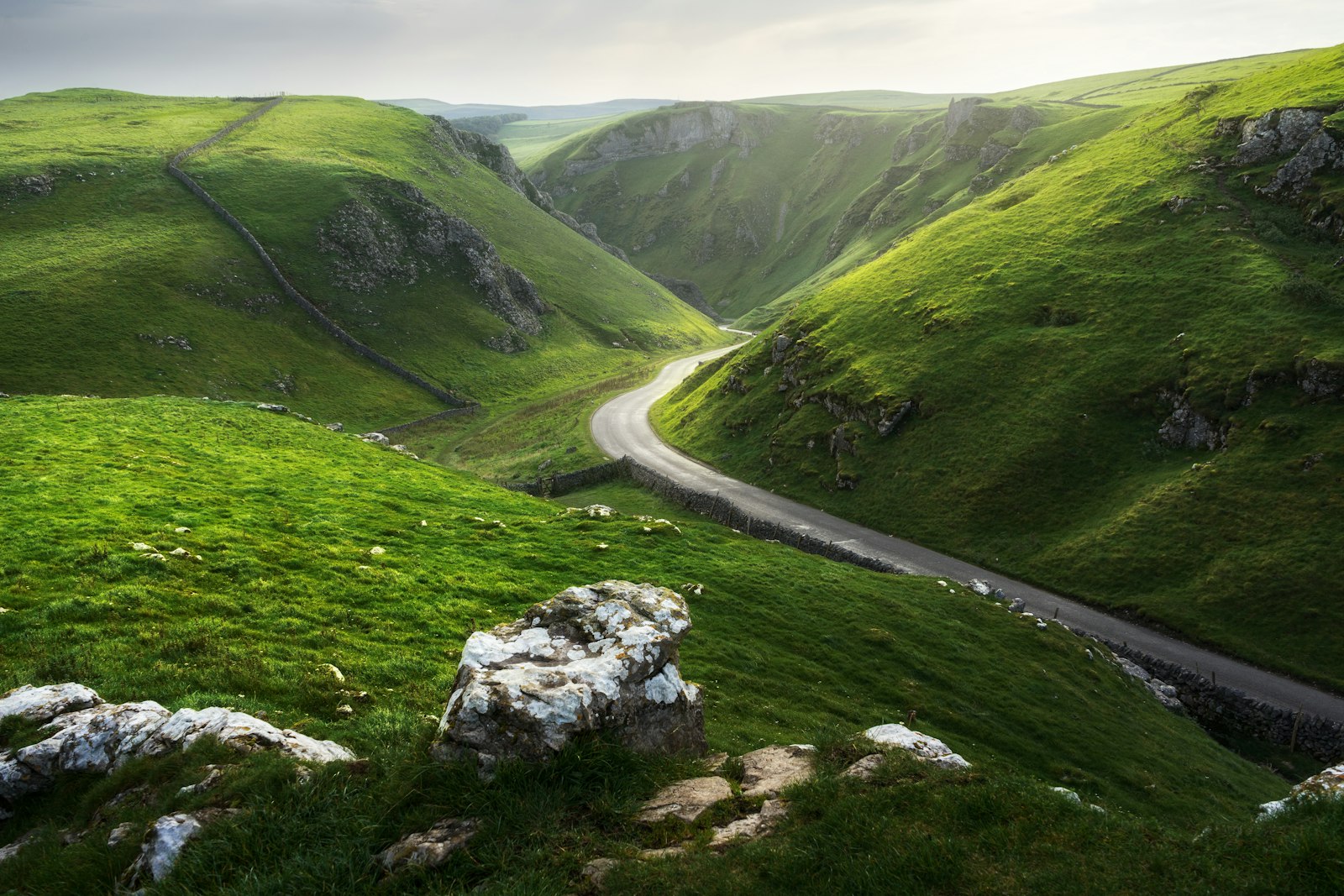
Winnats Pass is the limestone gorge road west of Castleton in the Peak District. Park at Speedwell Cavern or Castleton; walk beside the road or above it.
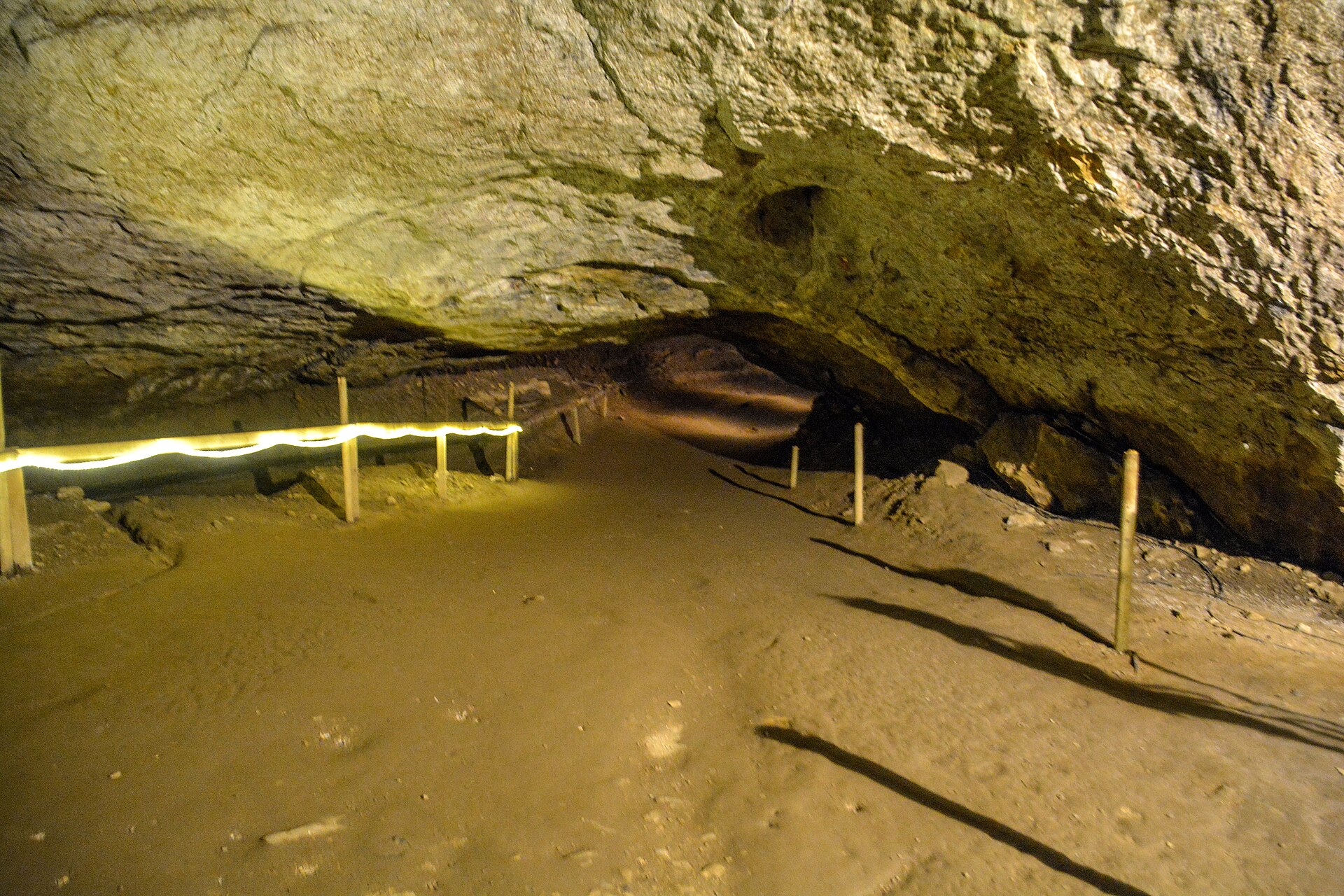
Britain's largest natural cave entrance, a show cave beneath Peveril Castle with a history of rope-making inside its mouth.
Booking through these links earns a commission. The price is the same.
Hayfield
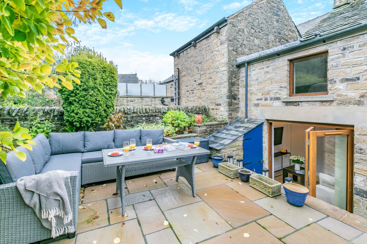
Sleeps 4 · 2 beds
from £371 / week
Check dates for Howard's Hideaway (opens the booking site in a new tab)Checked 9 Oct
Hayfield, near High Peak, Derbyshire
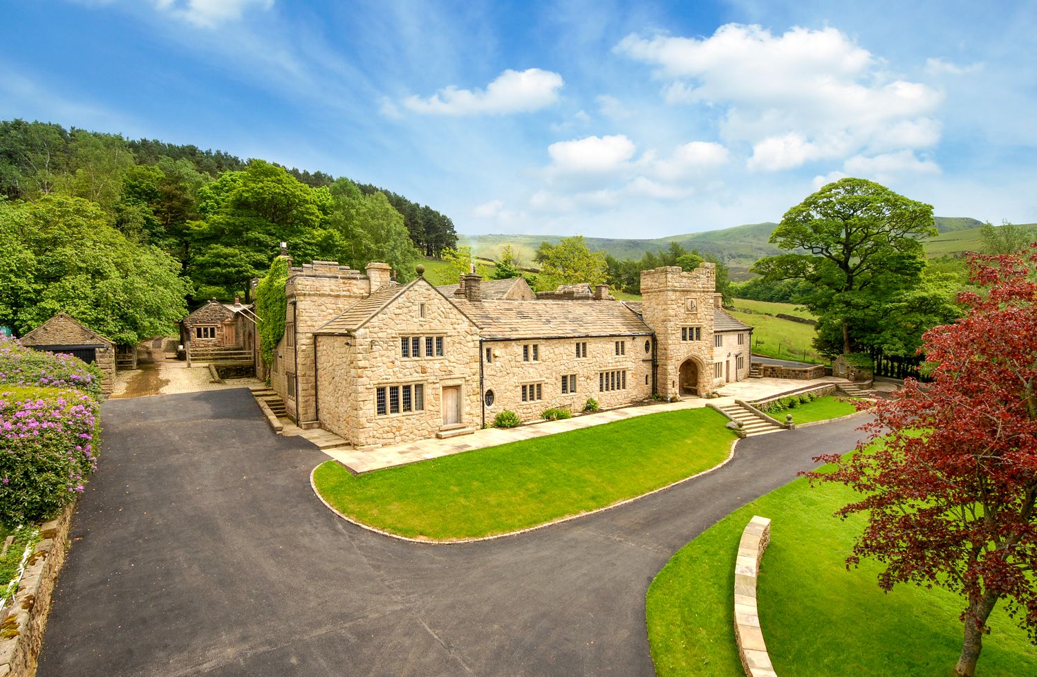
Sleeps 4 · 2 beds
from £580 / week
Check dates for The Bothy - Hayfield (opens the booking site in a new tab)Checked 5 Oct
Hayfield
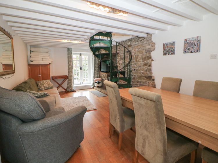
Sleeps 4 · 2 beds
from £513 / week
Check dates for Bear Pit Cottage (opens the booking site in a new tab)Checked 9 Oct
Hayfield, near High Peak, Derbyshire
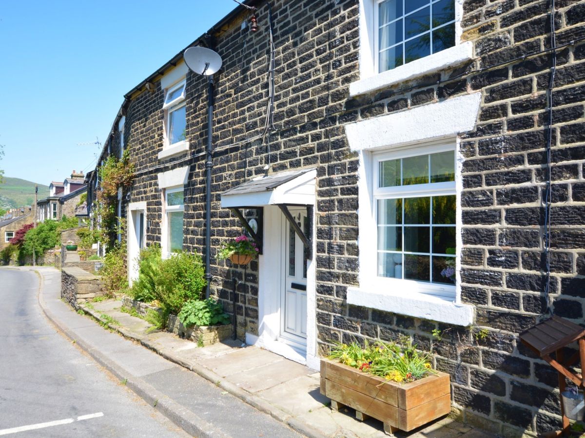
Sleeps 3 · 2 beds
from £417 / week
Check dates for Hedgehog Cottage (opens the booking site in a new tab)Checked 5 Oct
Hayfield
Sleeps 4 · 2 beds
from £437 / week
Check dates for The Old Cobblers (opens the booking site in a new tab)Checked 9 Oct
Hayfield
Sleeps 8 · 4 beds
from £976 / week
Check dates for River Cottage Hayfield (opens the booking site in a new tab)Checked 9 Oct