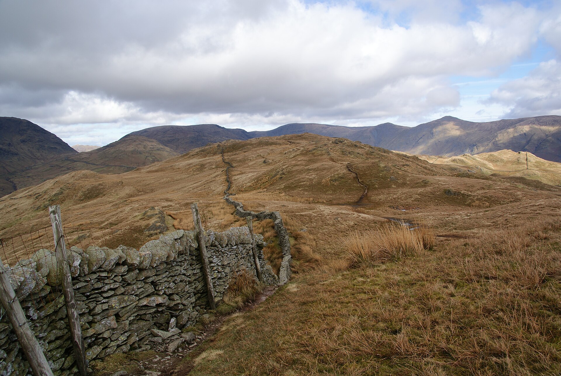
Wansfell Pike from Ambleside
A steep climb straight from Ambleside to a summit with one of the best valley views in the central Lakes, often circled via Troutbeck.
- 10.7 km
- 576 m up
- 3 hr 5 min moving
- Moderate
A branch-line village at the mouth of Kentmere.
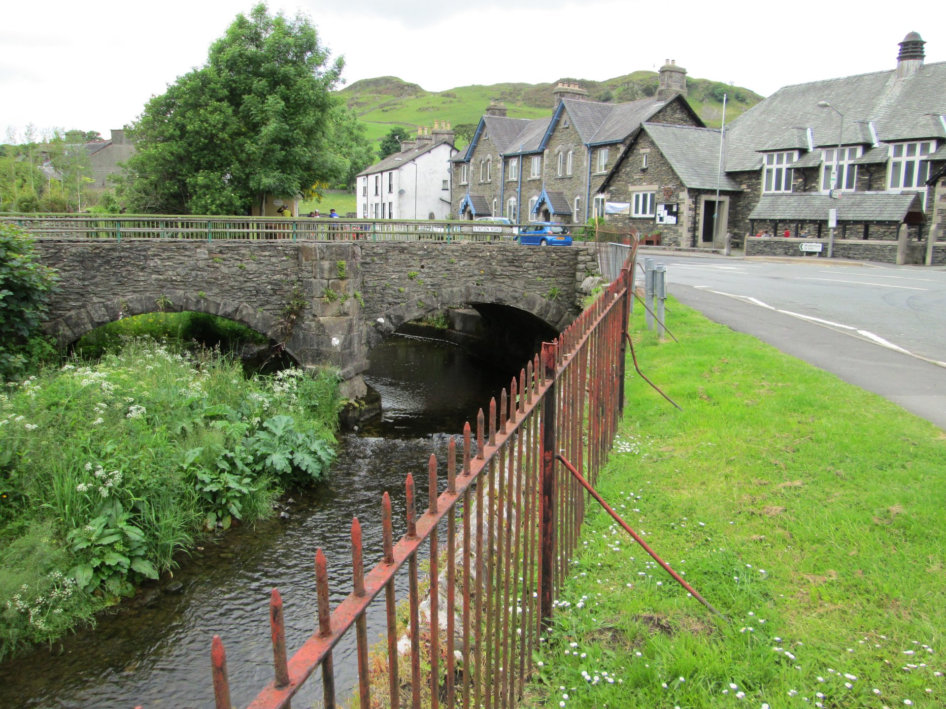
Staveley
On the Windermere Branch Line between Oxenholme and Windermere, with Northern Trains running all passenger services.
4
931
Staveley sits about 4 miles north-west of Kendal, where the River Kent is joined by the Gowan, and Wikipedia places it at the mouth of the Kentmere valley. Its station opened on 20 April 1847, and Wikipedia notes that it is one of only a few places in the National Park with a station, although in the nineteenth century most tourists stayed on the train to the railhead at Windermere. The village name means a field of staffs, and bobbin turning was the main trade in the valley by 1850.
Staveley is a base for people who want a railway station and a village to themselves rather than a hill on the doorstep. Wikipedia describes the Kentmere Round, a horseshoe of high fells around the valley head, as 12 miles or 19km in Wainwright’s full circuit, and says Kentmere can only be reached by road through Staveley.
Orrest Head, 5.7km away in a straight line, starts three minutes from Windermere station according to the National Park Authority, so the way there is the branch line. Ambleside is the town where Wansfell Pike, 9.7km away in a straight line, and Stock Ghyll Force, 10.7km, both start, and the Fairfield Horseshoe, 11.5km, starts at the Rydal Road car park there. Wikipedia lists the 555 and 599 among the Stagecoach routes serving Staveley, and both serve Ambleside too, so the town is a bus ride away and none of these walks needs a car.
Staveley has one platform and no step-free access, since the only entrance is a staircase from Station Road, as Wikipedia records. Northern Trains runs the Windermere branch from Oxenholme, with some services continuing to Manchester Airport. At Windermere station, Stagecoach buses link onward to Grasmere, Coniston and Keswick. For anyone driving, the A591 bypass takes the main road past the village.
Staveley does not suit anyone who wants a summit within a short walk of the door. It does not suit a walker without a plan for the first leg either. Windermere is on the same railway line and puts Orrest Head three minutes from the station, and Ambleside starts two climbs from its own streets.
Kentmere can be reached by road only through Staveley, and the A591 bypass runs on the other side of the River Gowan.
A steep climb straight from Ambleside to a summit with one of the best valley views in the central Lakes, often circled via Troutbeck.
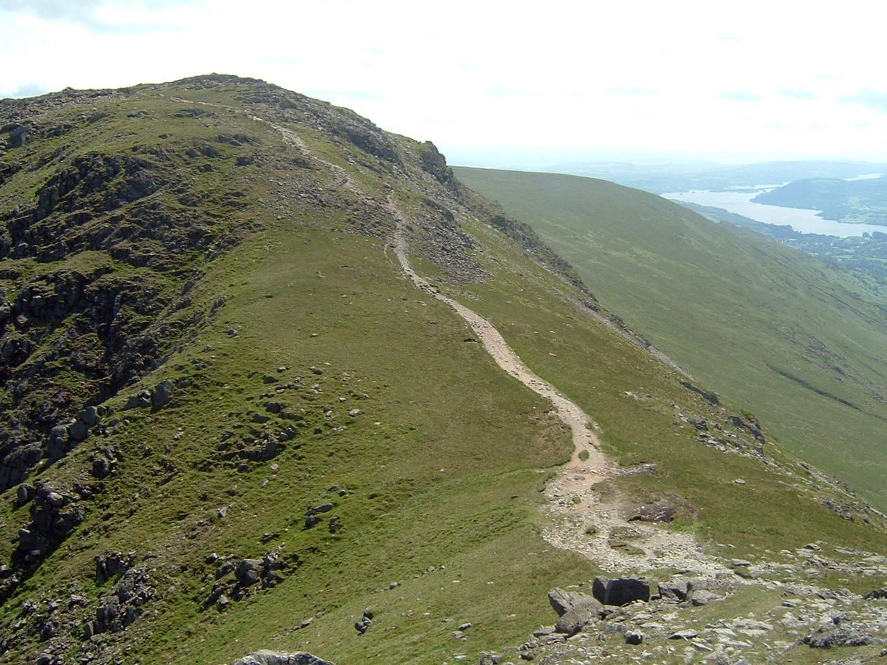
An eight-top ridge circuit over Fairfield's 873m summit plateau, the classic Wainwright horseshoe above Ambleside.
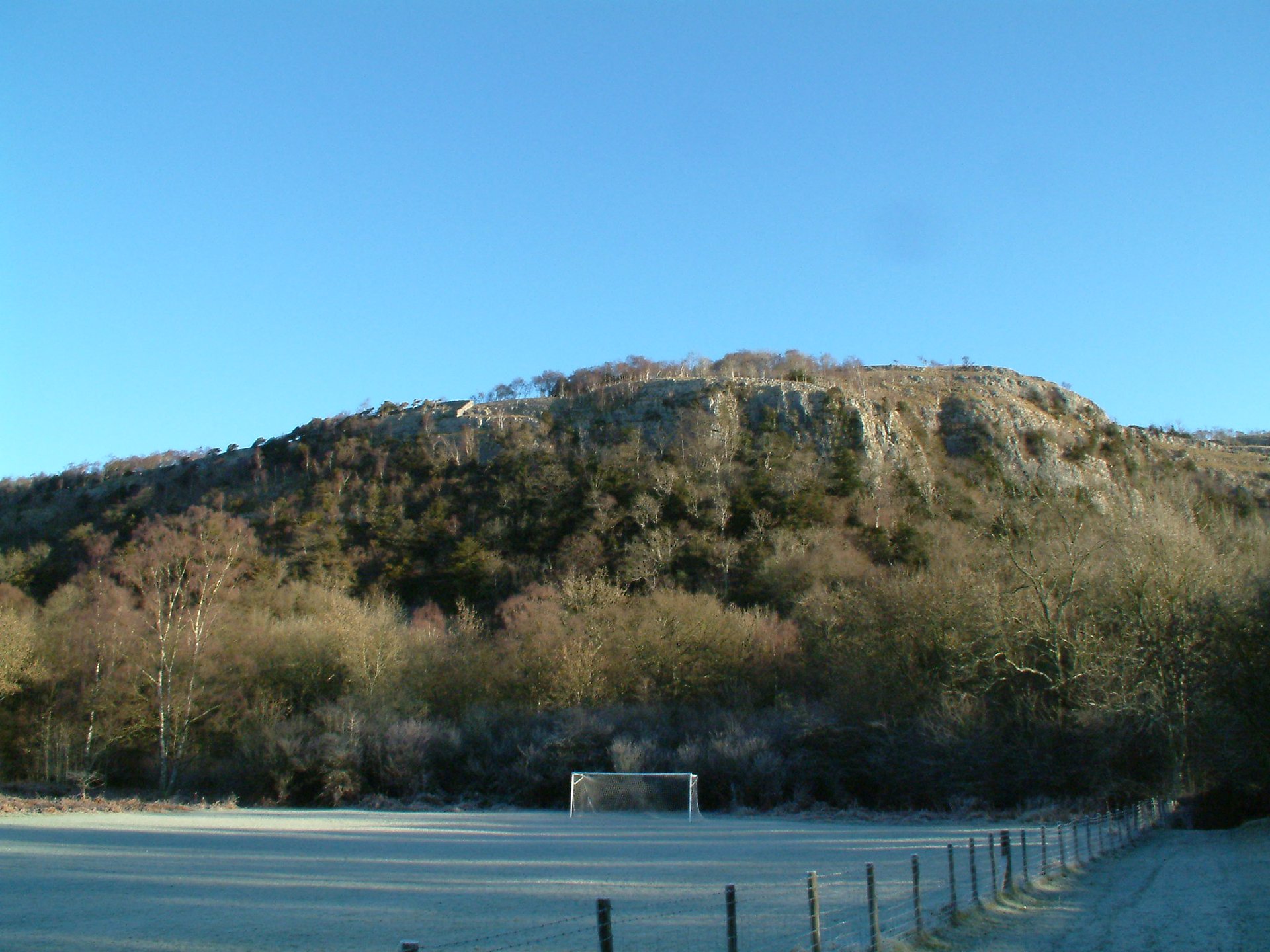
A 215m limestone hill and national nature reserve north of the A590, climbed from Mill Side to Lord's Seat and back through Witherslack woods.
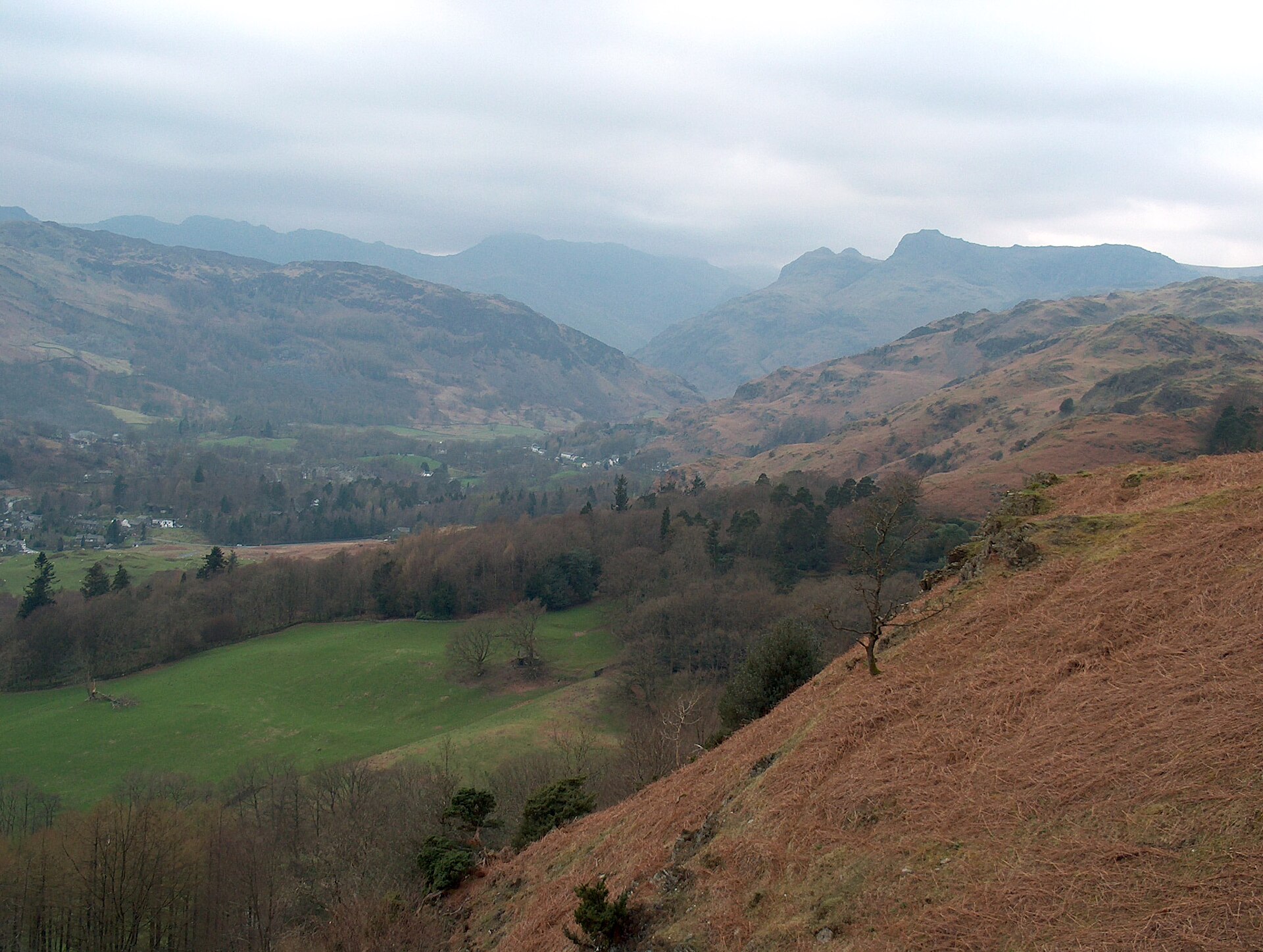
A short, well-used climb to a broad summit scattered with tarns, starting on the road between Ambleside and Grasmere.
Reached by car, by lift or by a short walk, rather than a day on the hill.
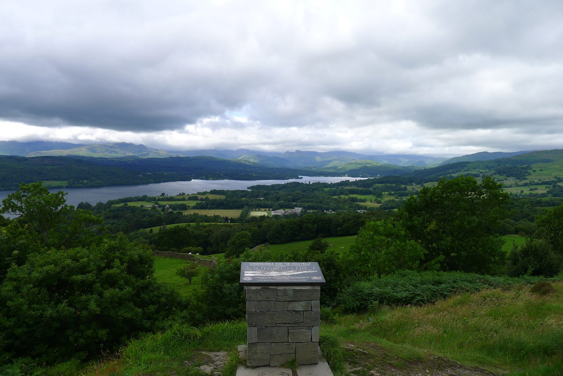
A 238m wooded knoll above Windermere town, the first fell Wainwright climbed, reached from the station on a Miles Without Stiles path.
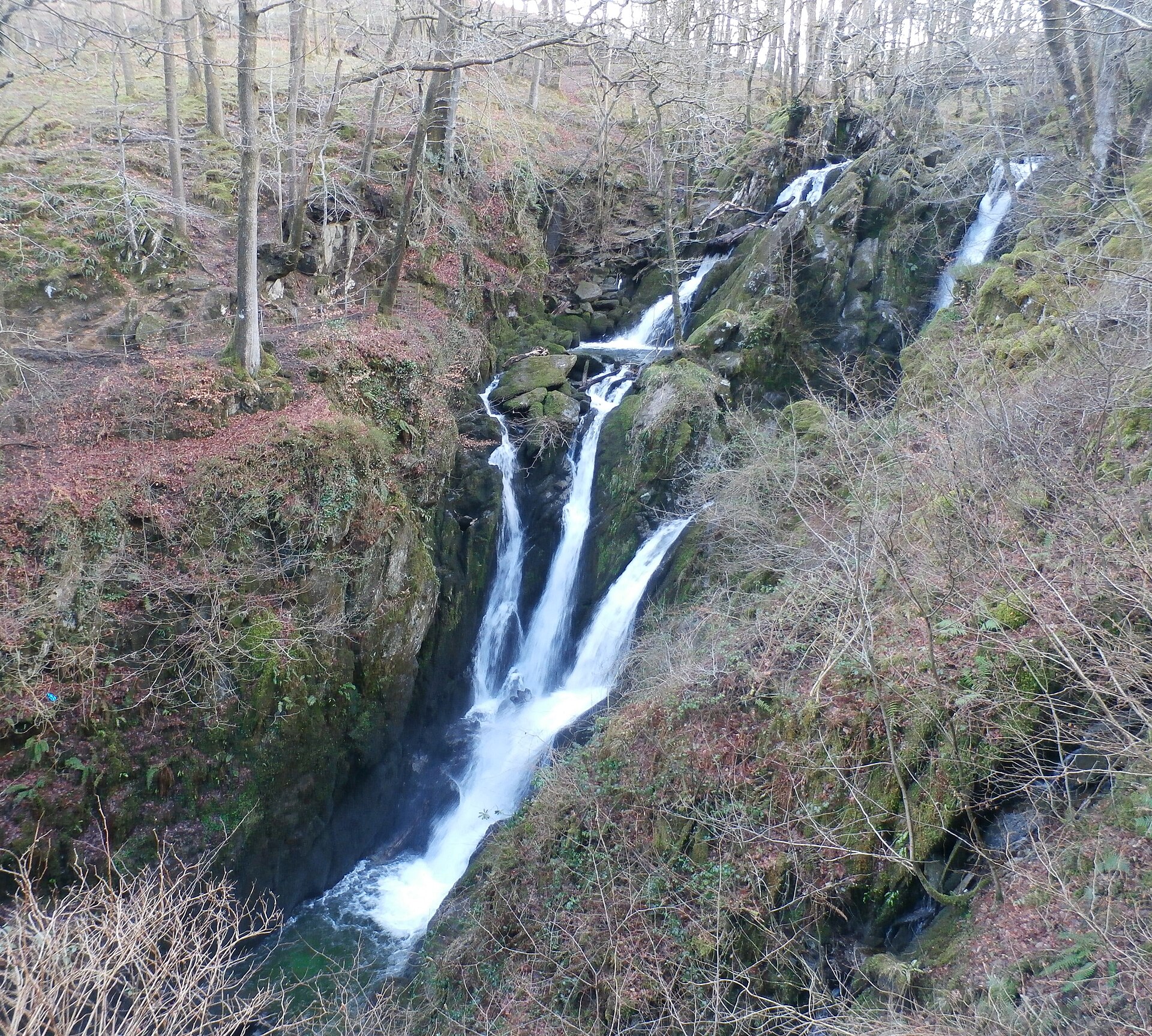
A wooded waterfall dropping around 21 metres in two stages, a short, stepped walk from Ambleside's main street.
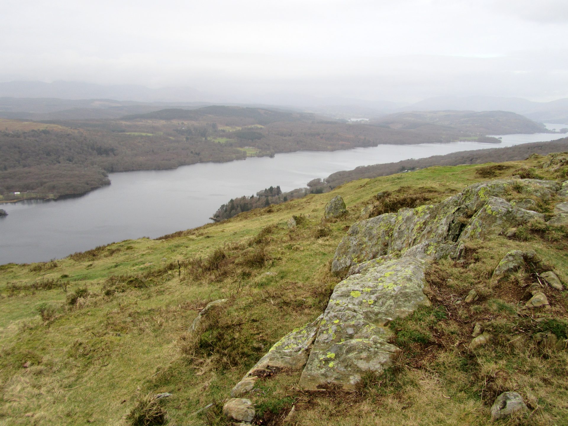
A 321m fell at the south end of Windermere, climbed in about 25 minutes from a free car park high on Fell Foot Brow.
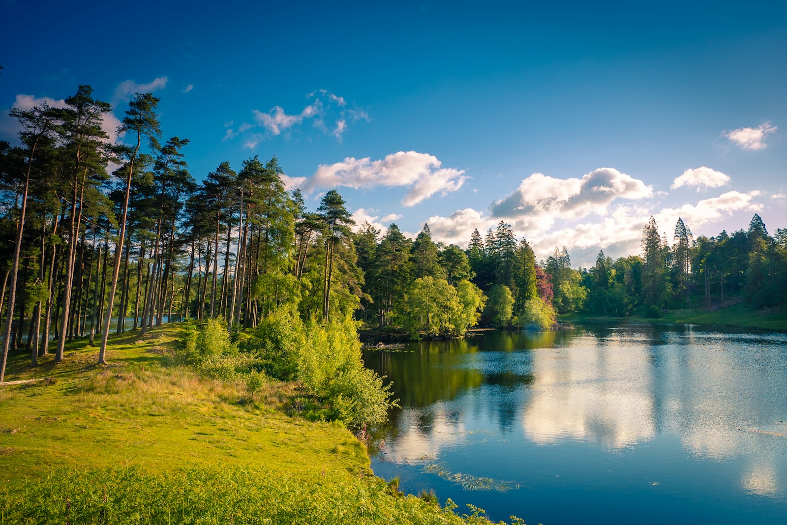
A National Trust tarn with an accessible path from the car park and views to the Coniston fells and Langdale Pikes.
Booking through these links earns a commission. The price is the same.
Staveley
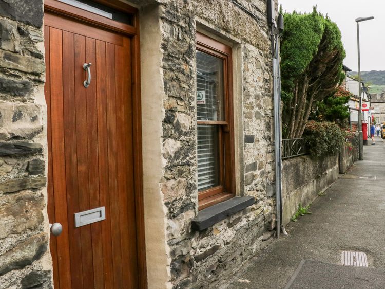
Sleeps 4 · 2 beds
from £540 / week
Check dates for Jessie's Cottage (opens the booking site in a new tab)Checked 7 Oct
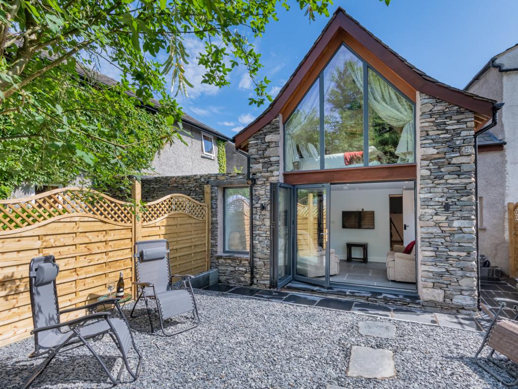
Staveley, near Kendal, Cumbria
Sleeps 4 · 2 beds
from £652 / week
Check dates for The Old Cottage - Staveley (opens the booking site in a new tab)Checked 5 Oct
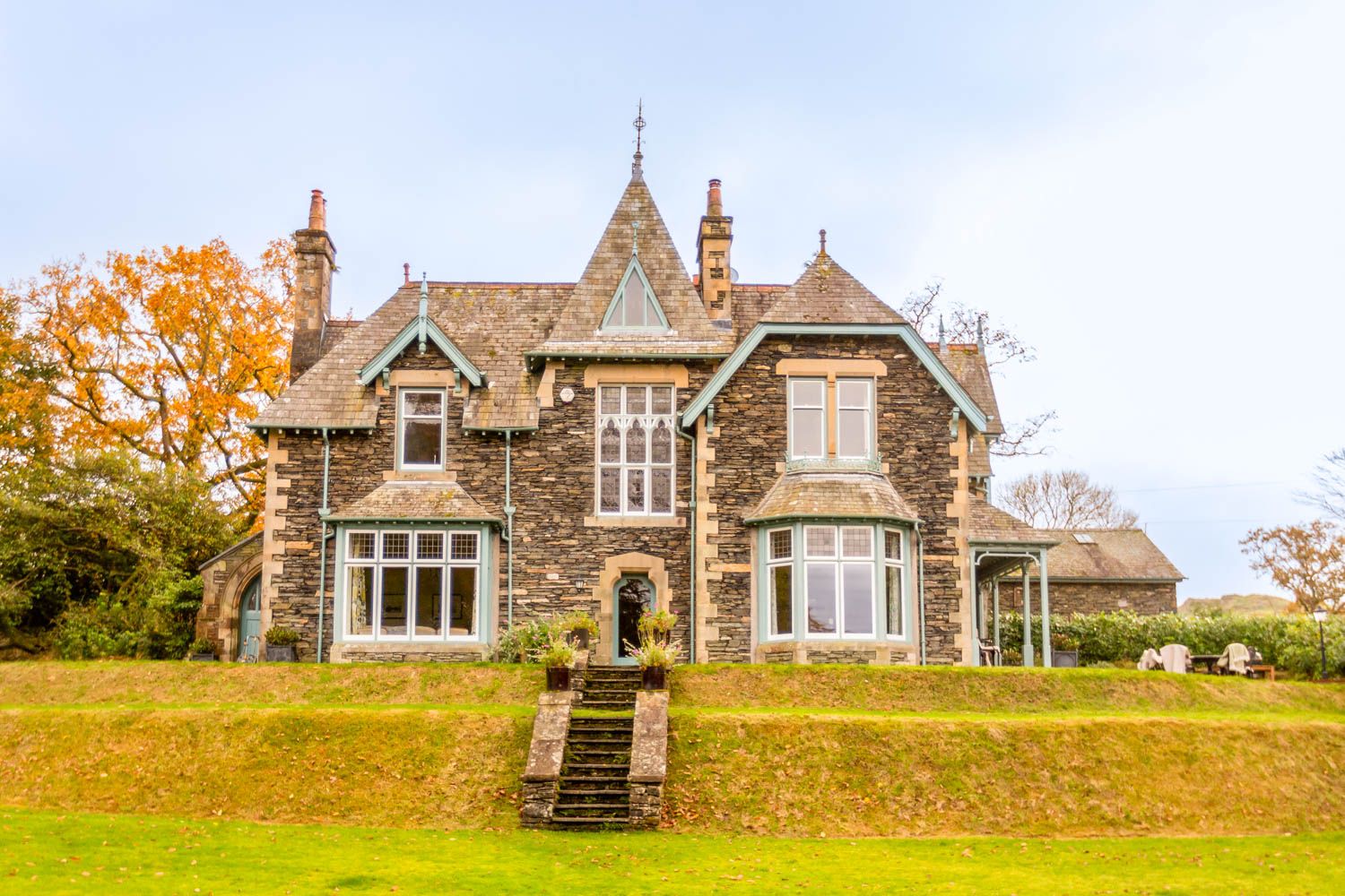
Staveley
Sleeps 4 · 2 beds
from £653 / week
Check dates for Two The Chapel - Staveley (opens the booking site in a new tab)Checked 7 Oct
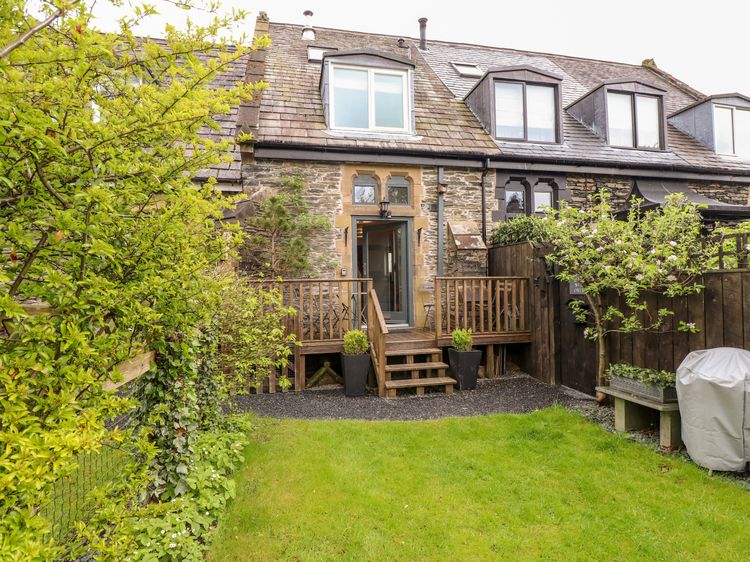
Staveley
Sleeps 3 · 2 beds
from £487 / week
Check dates for A River Runs By (opens the booking site in a new tab)Checked 7 Oct
Staveley, near Kendal, Cumbria
Sleeps 4 · 2 beds
from £560 / week
Check dates for Cottontail Cottage (opens the booking site in a new tab)Checked 5 Oct