Wansfell Pike from Ambleside
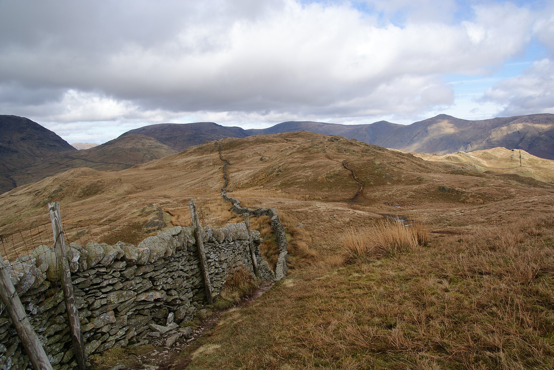
A steep climb straight from Ambleside to a summit with one of the best valley views in the central Lakes, often circled via Troutbeck.
- 10.8 km
- 491 m up
- 3 hr 30 min
- Moderate
End of the line from Oxenholme, and a first view three minutes out.
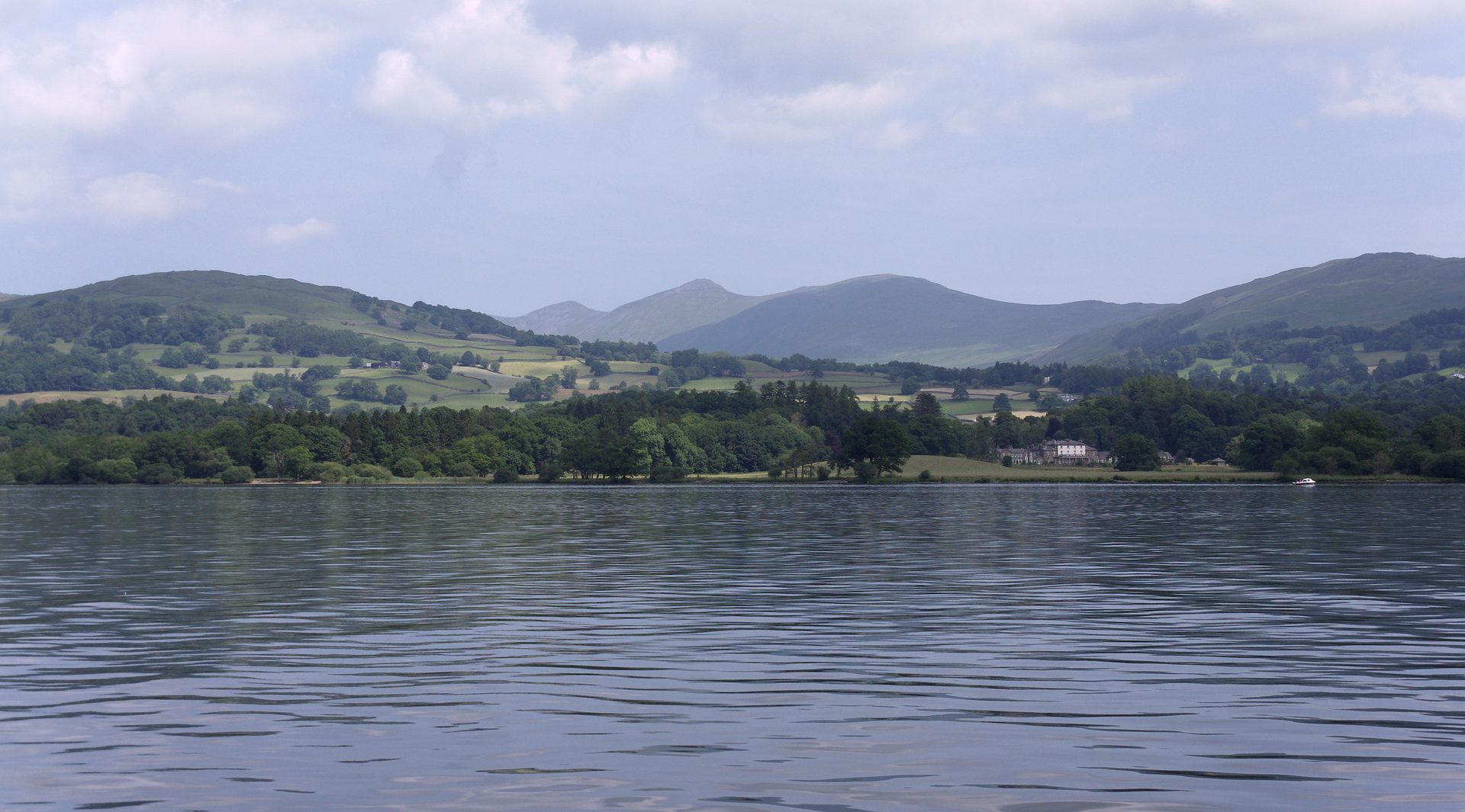
Windermere
7
1183
Windermere exists because of the railway. The station opened in 1847 as the terminus of the Kendal and Windermere Railway, and Wikipedia records that the town, until then a hamlet called Birthwaite, was established because of it. Windermere now forms one urban area with Bowness-on-Windermere on the lake shore, about 1.5 miles from the station, and the two share a civil parish renamed Windermere and Bowness in 2020. The case for sleeping here is the train and the water: the branch line from Oxenholme ends here, and Bowness, next door, has the lake cruises, since Wikipedia lists sailings from Bowness Bay to Ambleside at the north end and Fell Foot at the south. It is a weaker base for hill days, because most fells on this page start elsewhere. Ambleside, at the head of the lake, starts two climbs from its own streets.
Orrest Head is the one walk that starts at the door. The lane to it leaves the main road beside the lower entrance of the Windermere Hotel, three minutes from the station according to the National Park Authority, and the round trip is 3.5km. Everything else needs a bus or a car. Wansfell Pike and Stock Ghyll Force both begin in Ambleside, about 7km north in a straight line, and the Stagecoach 599 serves it. The Fairfield Horseshoe also starts in Ambleside, at Rydal Road car park, and is 16.4km with 1,080m of ascent. Helm Crag starts on Easedale Road in Grasmere, the 599’s terminus, and Loughrigg Fell from White Moss Common car park on the A591 between the two. Tarn Hows lies about 9km west across the lake, nearer Coniston than here, and wants a car. So does Gummer’s How, roughly 10km south, off the A592 near Newby Bridge.
Northern Trains runs generally hourly from the station to Kendal and Oxenholme, with some services continuing to Manchester Airport every two hours, according to Wikipedia. The station is a 25-minute walk from the lake or a short bus ride. Stagecoach lists the 599 as running daily all year between Kendal, Windermere, Bowness, Ambleside and Grasmere, calling at the station, every 20 minutes between Bowness and Grasmere; the 555 links Lancaster, Kendal, Windermere, Ambleside, Grasmere and Keswick. The A592 passes through Windermere and Bowness and meets the A591 in town.
Orrest Head is the easy first outing: the National Park Authority adopted its Elleray Wood route for pushchairs and mobility scooters, with no steps, gates or stiles, though the first tarmac stretch climbs at up to 1:4. Gummer’s How is half a mile and about 25 minutes from its car park according to Wainwright Routes, but Wikipedia notes rock scrambling near the top. Tarn Hows has the National Trust’s accessible circuit of about one and three-quarter miles. Stock Ghyll Force is steps and wet stone, and no use for a pushchair. For a wet afternoon the cruises from Bowness Bay need no boots at all.
The Lake District National Park Authority names Broad Street car park, and there is other parking in the village.
A steep climb straight from Ambleside to a summit with one of the best valley views in the central Lakes, often circled via Troutbeck.
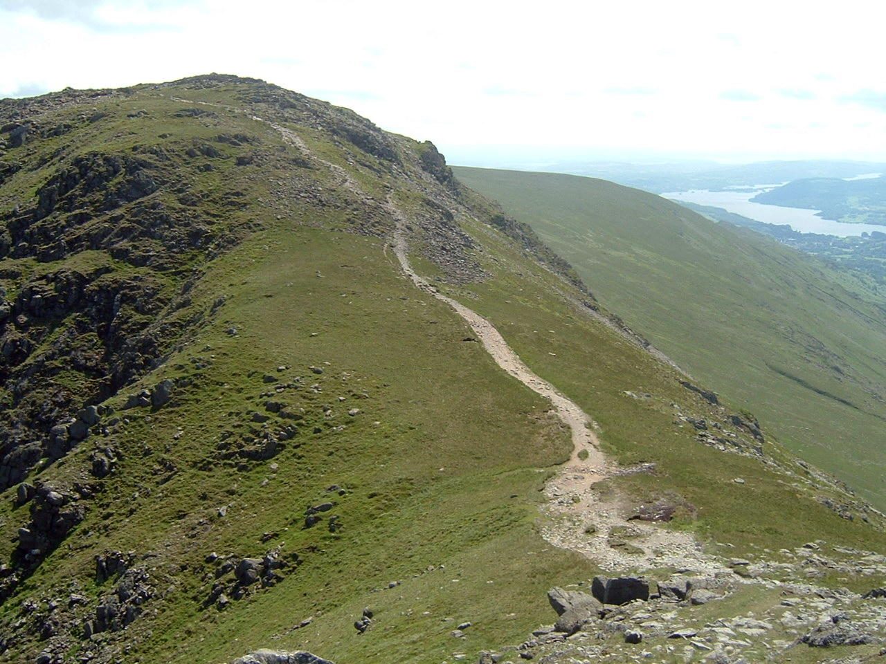
An eight-top ridge circuit over Fairfield's 873m summit plateau, the classic Wainwright horseshoe above Ambleside.
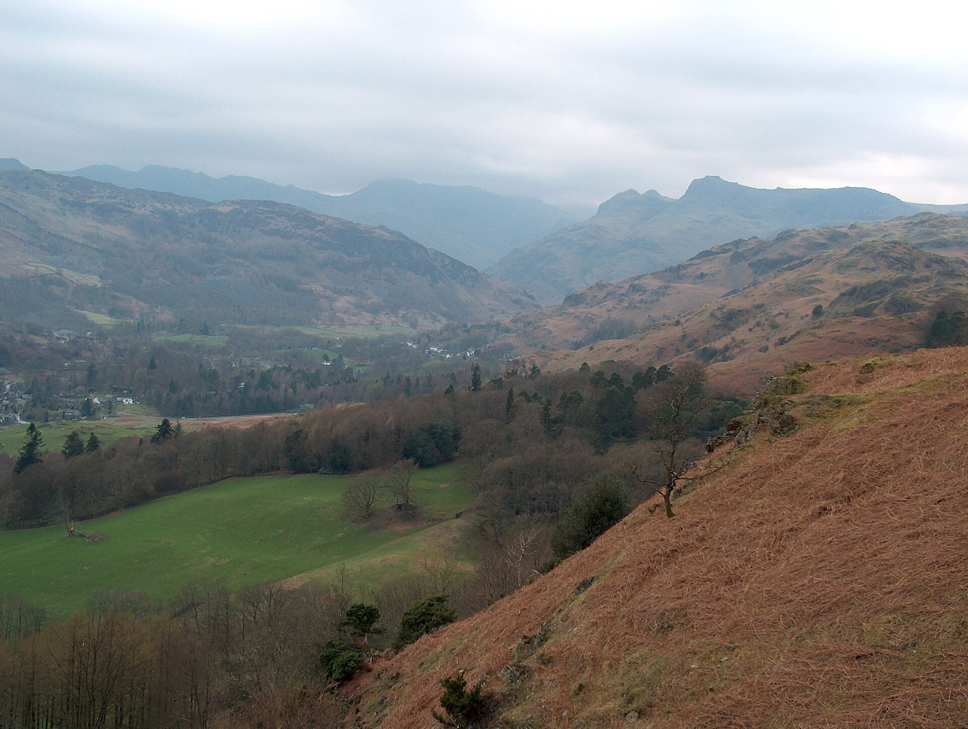
A short, well-used climb to a broad summit scattered with tarns, starting on the road between Ambleside and Grasmere.
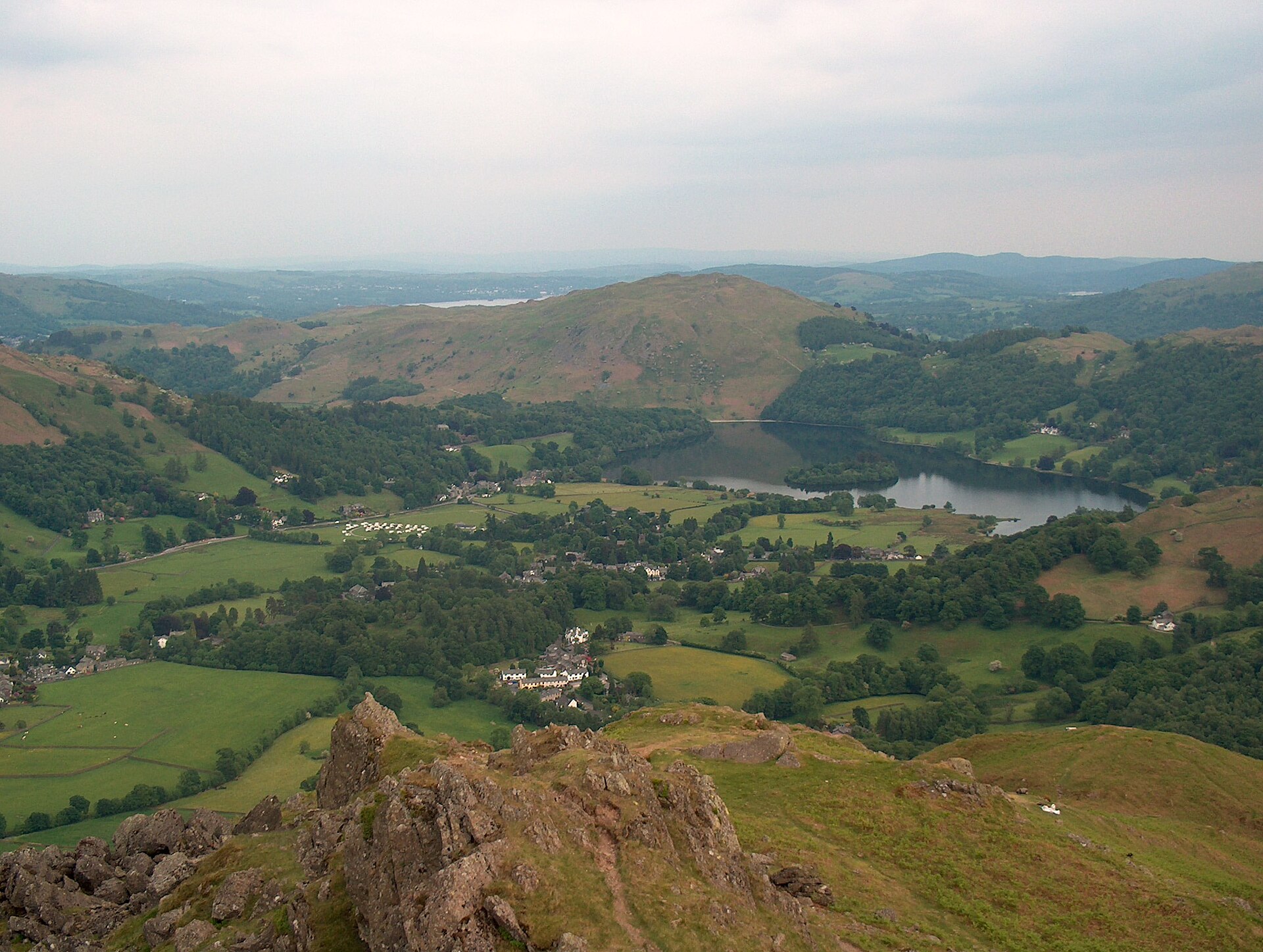
A short, steep fell above Grasmere topped by two named rock outcrops, the Lion and the Lamb and the summit-contesting Howitzer.
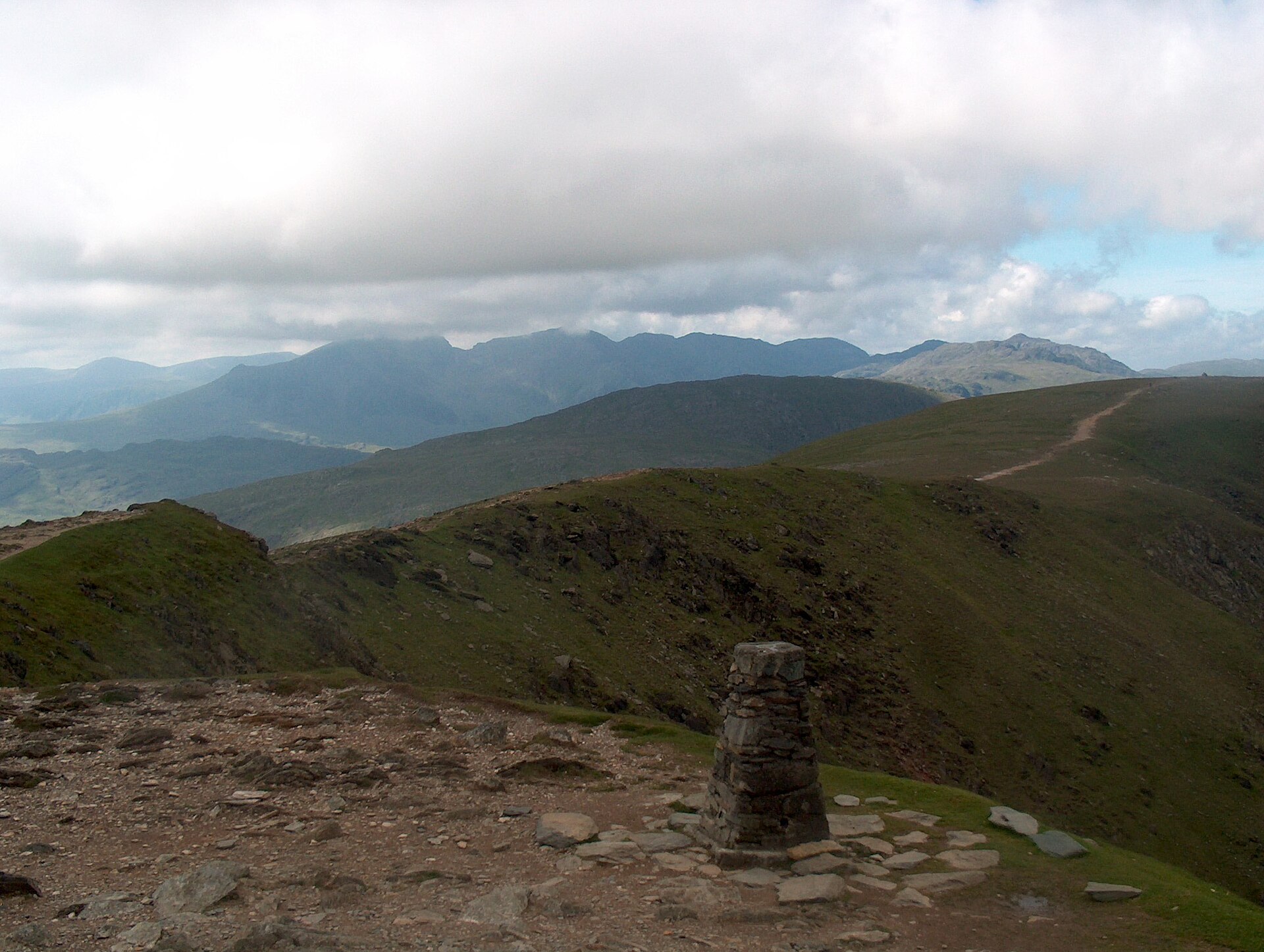
A steep, direct climb from Coniston village through old copper workings to one of the best-known summits in the southern Lakes.
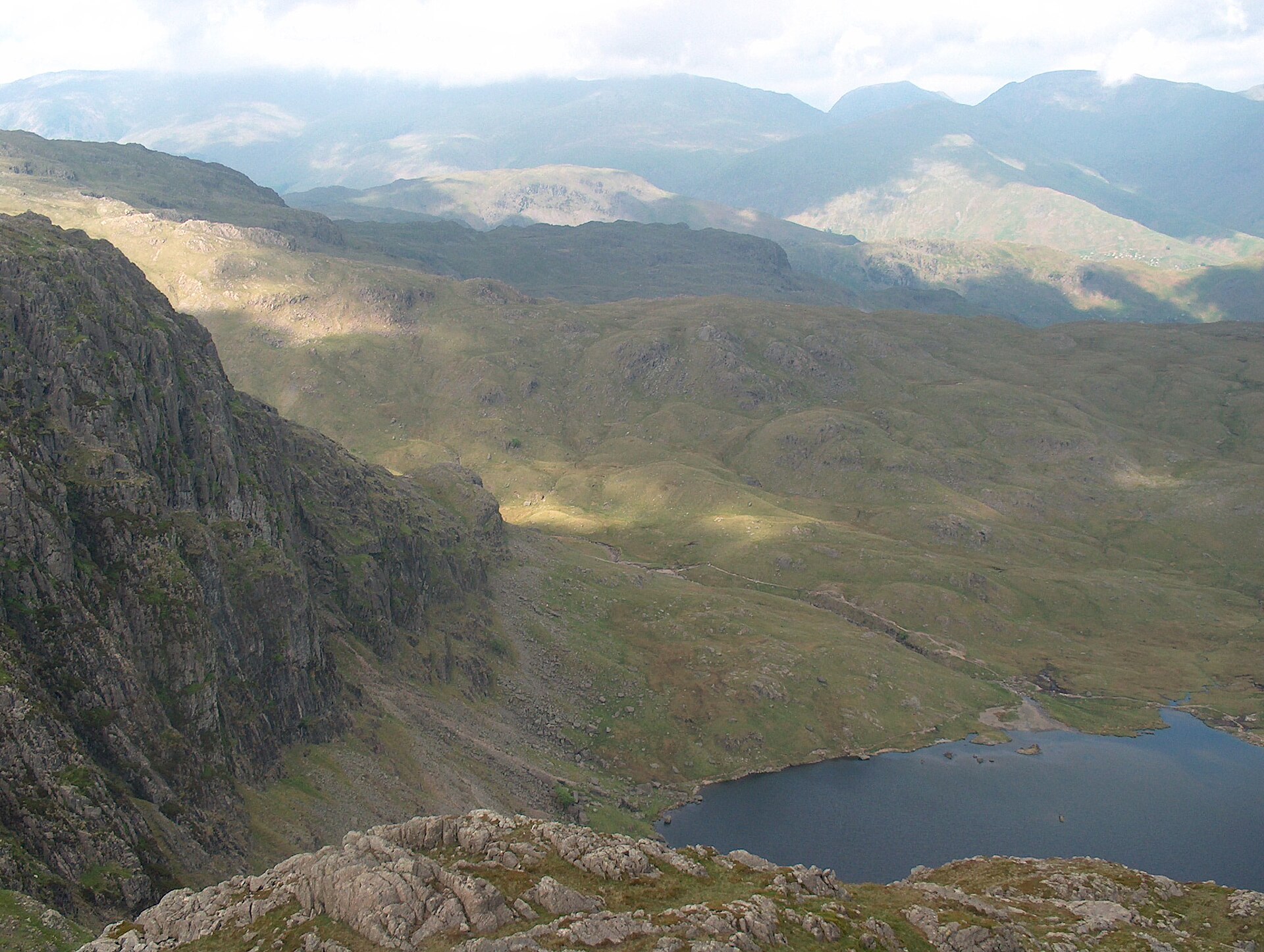
A six-top round of Great Langdale's skyline, up Pavey Ark by the North Rake from Stickle Tarn and over Pike of Stickle and Harrison Stickle.
Places you can drive to, or reach in a few minutes from the car.
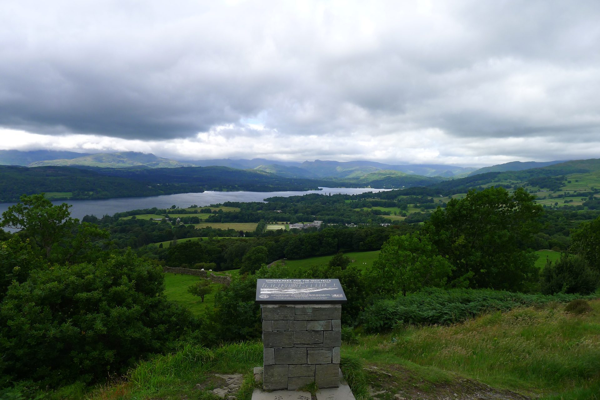
A 238m wooded knoll above Windermere town, the first fell Wainwright climbed, reached from the station on a path with no steps or stiles.
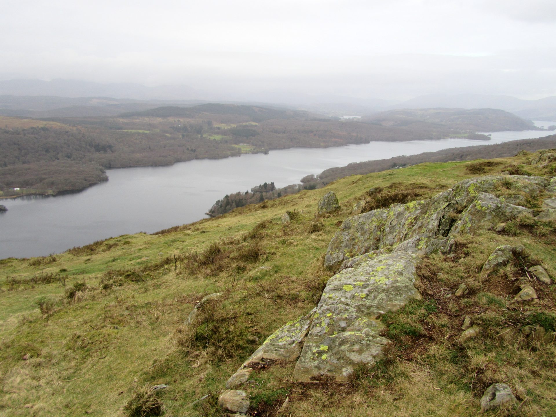
A 321m fell at the south end of Windermere, climbed in about 25 minutes from a free Forestry England car park high on Fell Foot Brow.
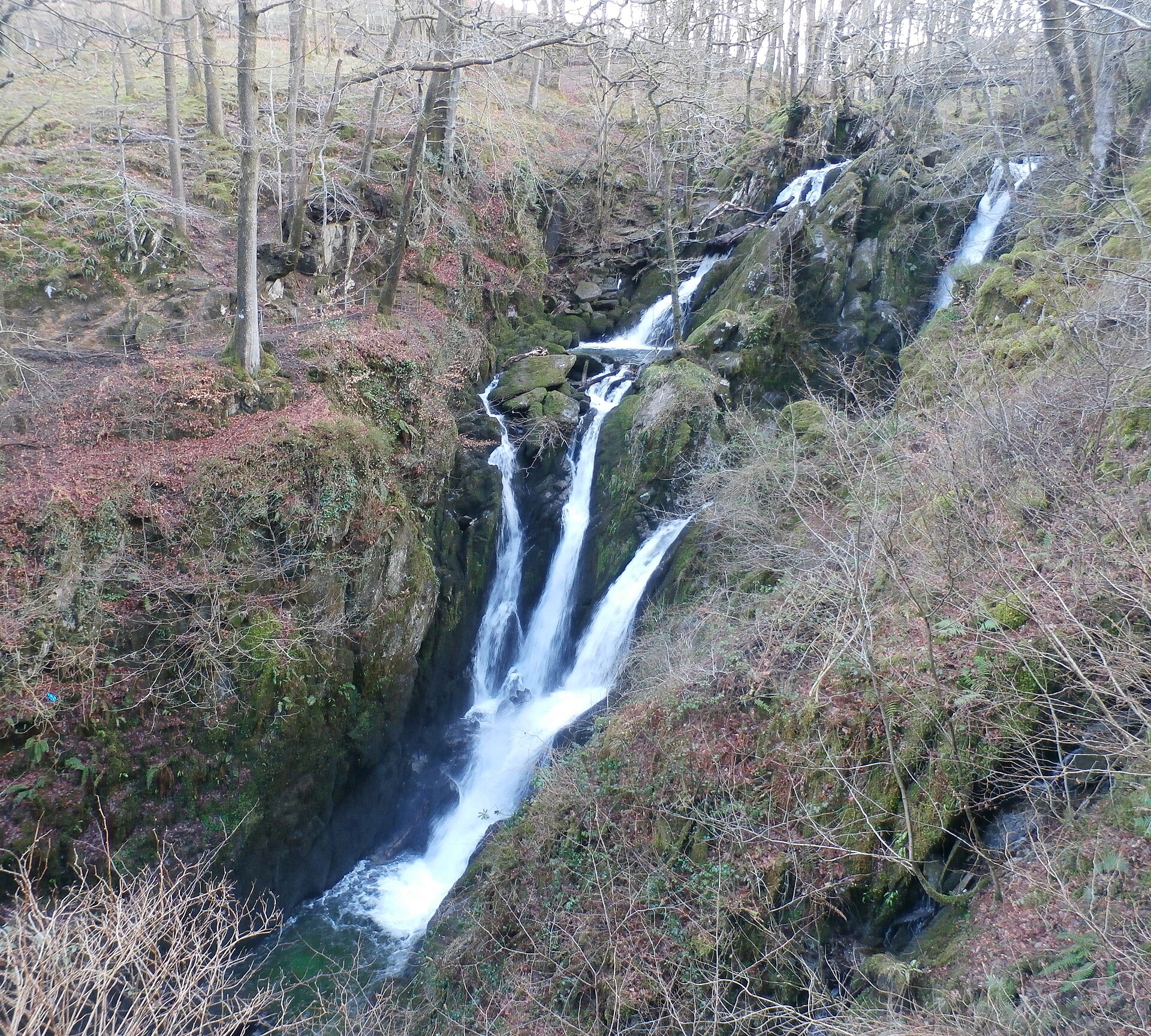
A wooded waterfall dropping around 21 metres in two stages, a short, stepped walk from Ambleside's main street.
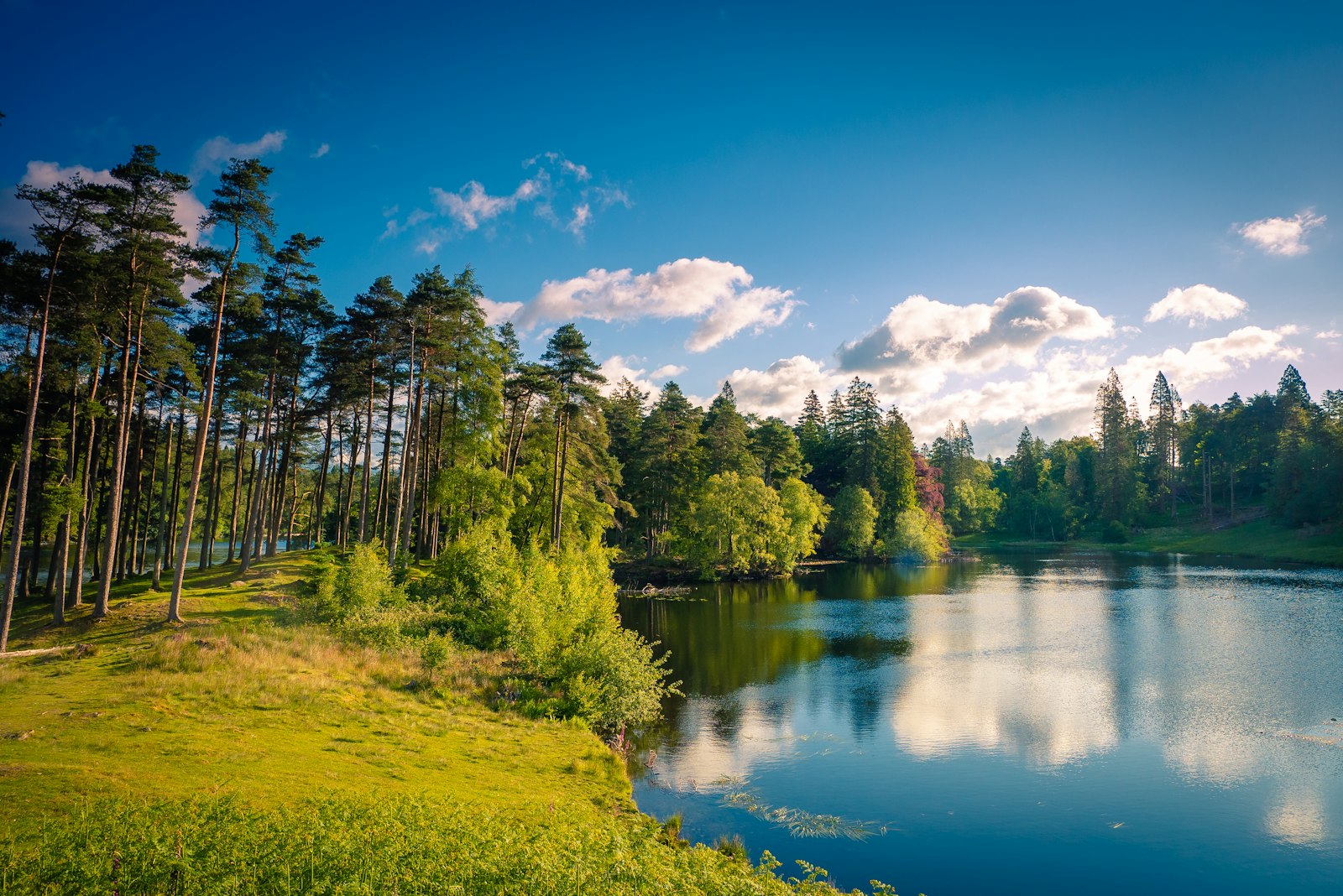
A National Trust tarn with an accessible path from the car park and views to the Coniston fells and Langdale Pikes.
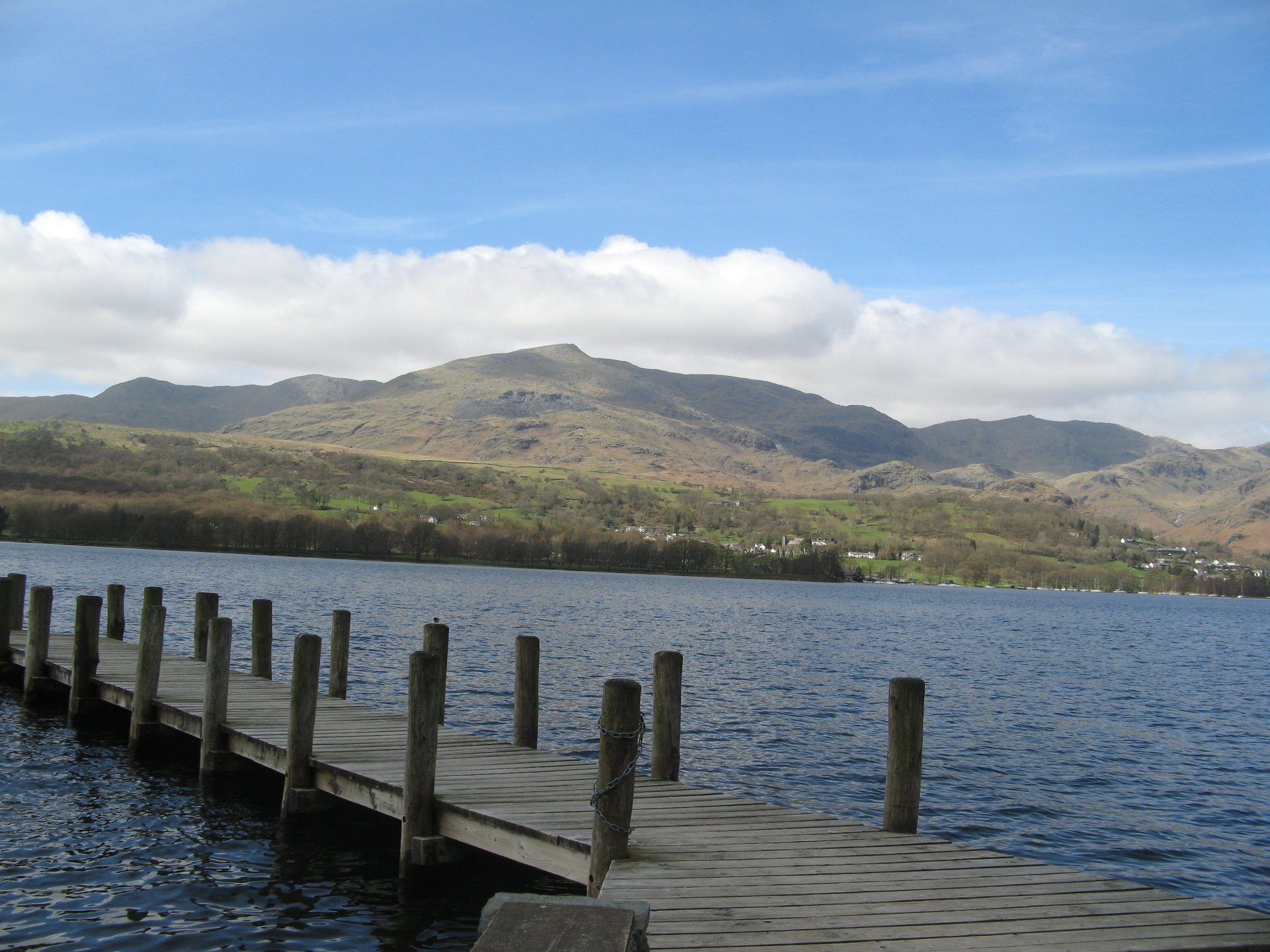
Kayak, canoe and rowing boat hire on Coniston Water from a National Park-run centre a few minutes from the village.
Booking links on these earn us a commission. The price you pay is the same either way.
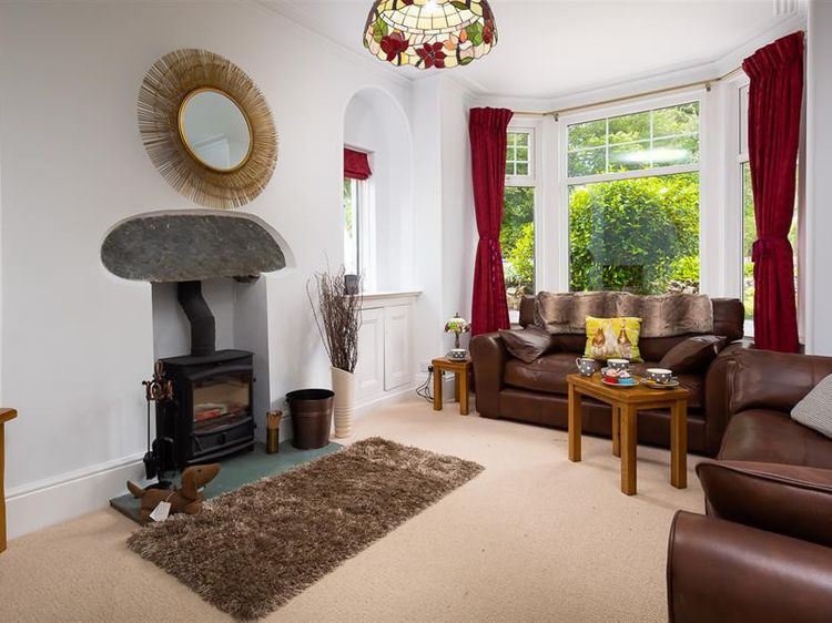
Windermere
Sleeps 6 · 3 beds
Prices on the merchant site
Check dates for Ellerthwaite House (opens the booking site in a new tab)Checked 7 Oct
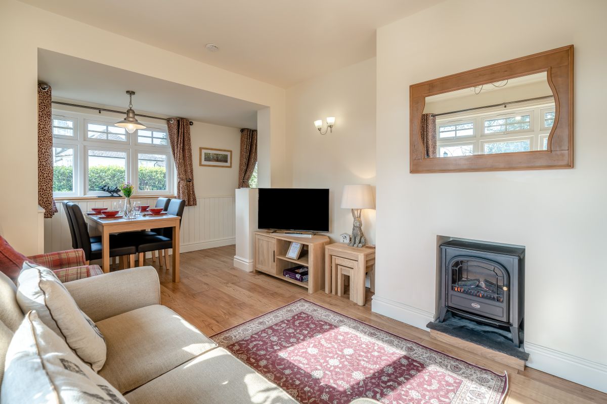
Windermere
Sleeps 4 · 2 beds
from £1,218 / week
Check dates for Raffleys @ Engadine (opens the booking site in a new tab)Checked 7 Oct
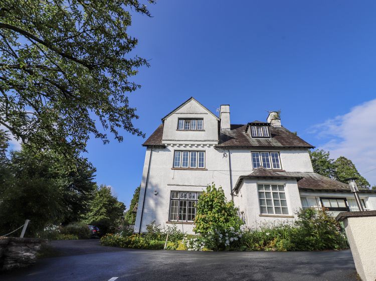
Windermere, Cumbria
Sleeps 4 · 2 beds
from £609 / week
Check dates for Lazy Bay Cottage (opens the booking site in a new tab)Checked 5 Oct
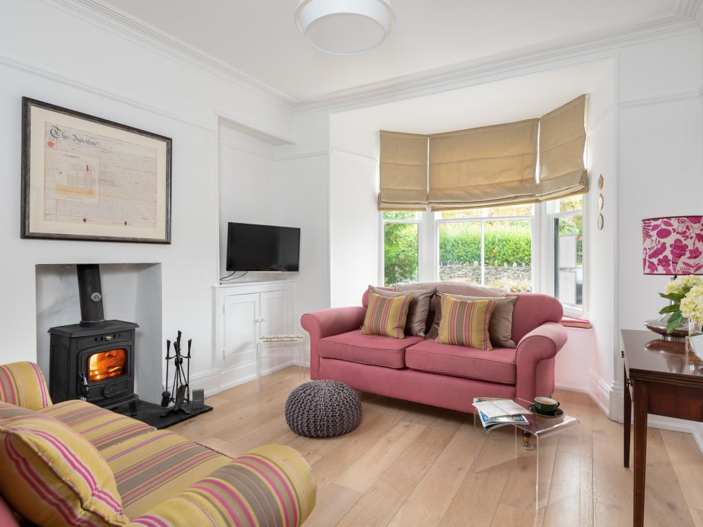
Windermere
Sleeps 2 · 1 bed
from £1,110 / week
Check dates for Wheatlands Cottage (opens the booking site in a new tab)Checked 7 Oct
Windermere, Cumbria
Sleeps 6 · 3 beds
from £660 / week
Check dates for Puddle Duck Cottage (opens the booking site in a new tab)Checked 5 Oct