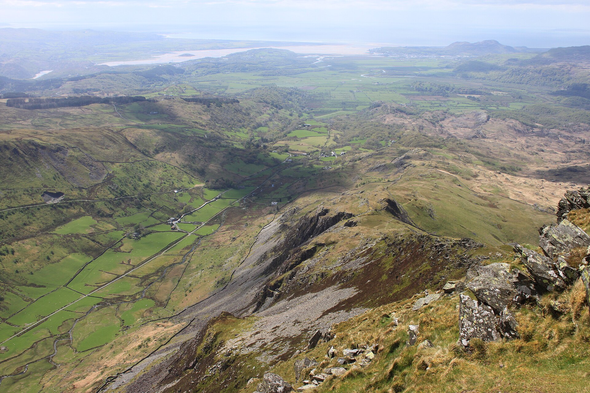
Cnicht from Croesor
A pyramid-shaped summit above Croesor, nicknamed the Welsh Matterhorn, climbed by a steep path with short scrambles near the top.
- 10.2 km
- 515 m up
- 4 hr 30 min moving
- Moderate
A slate town with two railways, and its hills a drive away.
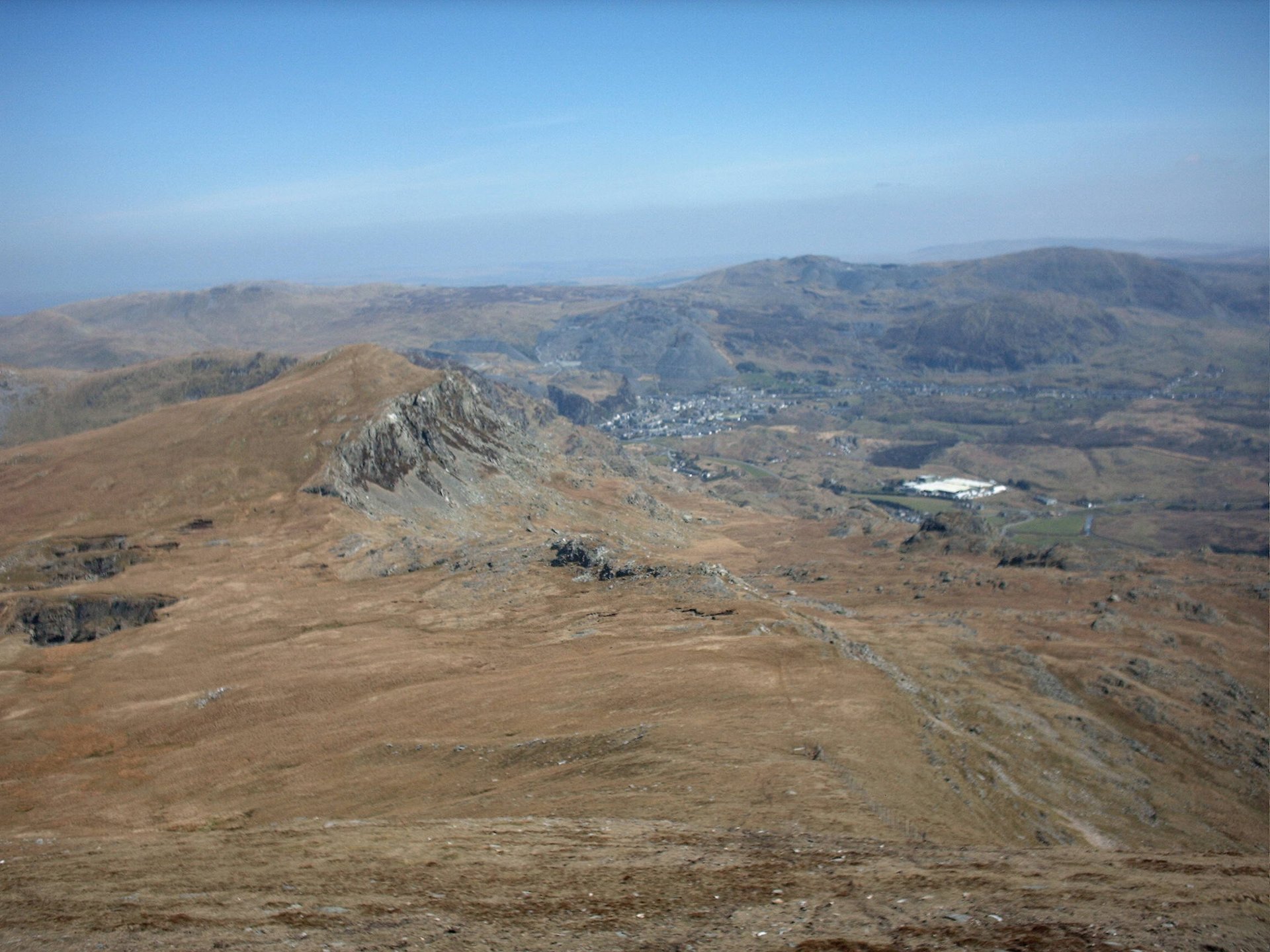
Blaenau Ffestiniog
The southern terminus of the Conwy Valley Line, shared with the narrow gauge Ffestiniog Railway to Porthmadog.
14
147
Blaenau Ffestiniog, meaning the uplands of Ffestiniog, grew from a farming district into a slate town that Wikipedia says reached 12,000 people at the height of the industry and has about 4,000 now, not counting the neighbouring village of Llan Ffestiniog. Wikipedia’s article on the Slate Landscape of Northwest Wales calls the Oakeley mine here the largest slate mine in the world, and Llechwedd is still a working quarry. Most people in the town speak Welsh: 78.6 per cent of those over three said they could at the 2011 census.
The town stands in the middle of Eryri (Snowdonia) National Park and is not in it. Wikipedia records that the park boundary excludes the town and its slate heaps, and that there were proposals in 2010 to bring it in. What it has instead is rail. The Conwy Valley Line ends here, a little over 27 miles from Llandudno by Wikipedia’s count, and the Ffestiniog Railway runs the 13.5 miles to Porthmadog from the same station. Around the town are the Moelwynion, the group Wikipedia describes as running from north-east of Porthmadog to Moel Siabod, named for Moelwyn Mawr at 770m and Moelwyn Bach at 710m. The honest case is slate history and one wet-day adventure on the doorstep, not a walk from the door.
Zip World Llechwedd is on the Llechwedd quarry at the edge of the town, and Wikipedia lists Bounce Below there as a slate-mine activity centre. The hill walks all start elsewhere. Cnicht from Croesor starts at the car park in Croesor village, about 6.9km away in a straight line, and is a drive. Arenig Fawr, about 14.7km away, starts from waste ground off a minor road near Arenig, so it needs a car as well. Moel Hebog, about 11.4km away, starts at Beddgelert village car park.
Blaenau Ffestiniog station is the southern terminus of the Conwy Valley Line, which Transport for Wales Rail runs to Llandudno Junction and Llandudno, and the Ffestiniog Railway shares it. Wikipedia lists town bus services by Arriva Buses Wales and Llew Jones, to Porthmadog, Dolgellau, Llanrwst, and Llandudno via Betws-y-Coed. The A470 climbs north over the Crimea Pass to meet the A5 at Betws-y-Coed, and runs south to Dolgellau. The A496 goes south to Harlech and Barmouth. Wikipedia records one of the highest rainfalls in Wales here. Check Traveline Cymru before relying on any bus for a walk.
Anyone who wants a path from the front door. The three hill walks all start in other valleys. Moel Hebog starts in Beddgelert itself, which makes that the better base for it, and Arenig Fawr starts about 10km from Bala in a straight line, which is nearer than it is to here.
The A470 runs north over the Crimea Pass to Betws-y-Coed and south to Dolgellau; the A496 runs south to Harlech and Barmouth.
A pyramid-shaped summit above Croesor, nicknamed the Welsh Matterhorn, climbed by a steep path with short scrambles near the top.
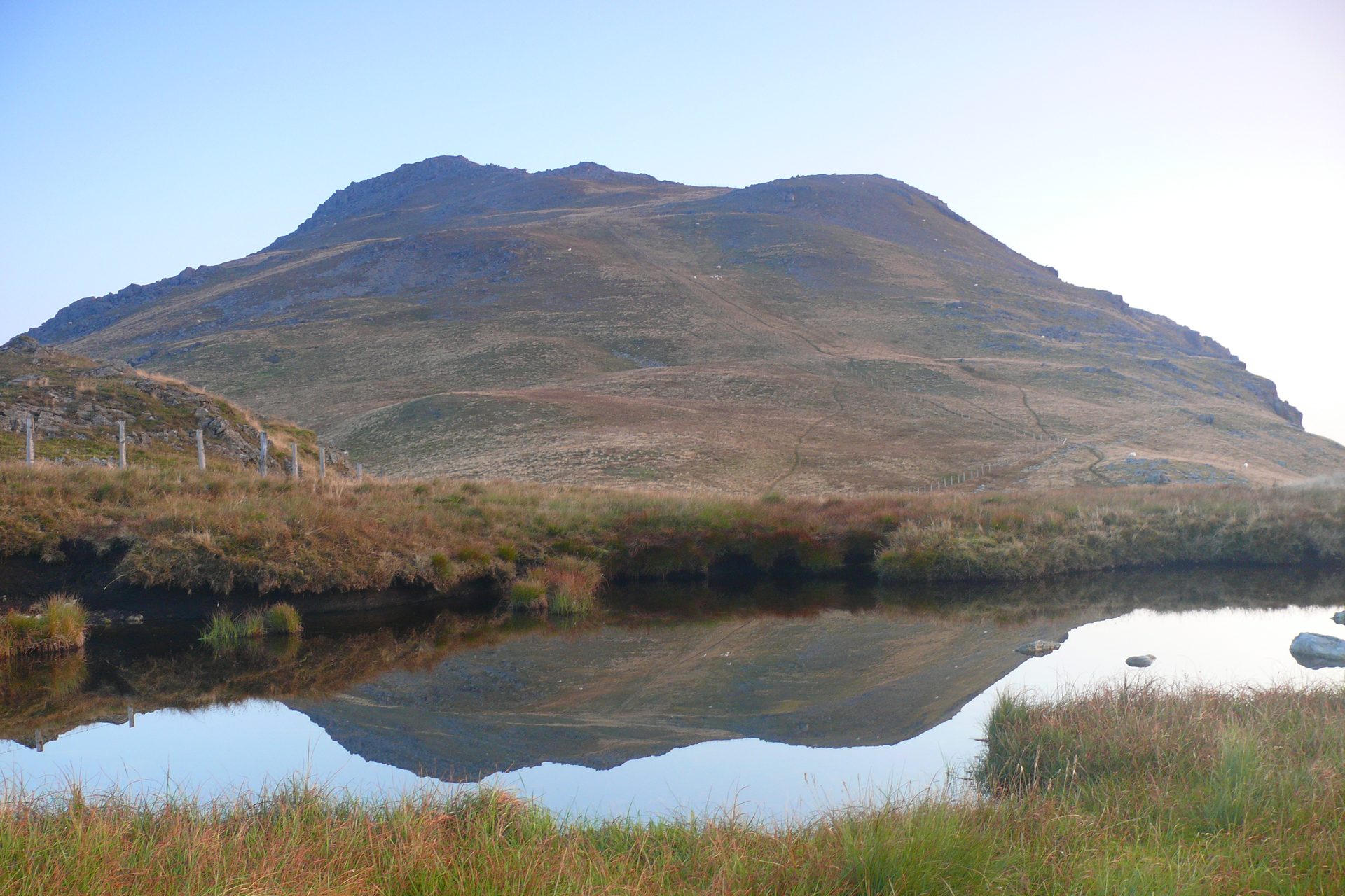
A lone 854m summit above Bala, reached past the reservoir Llyn Arenig Fawr to a trig point and the memorial to the crew of a 1943 Flying Fortress.
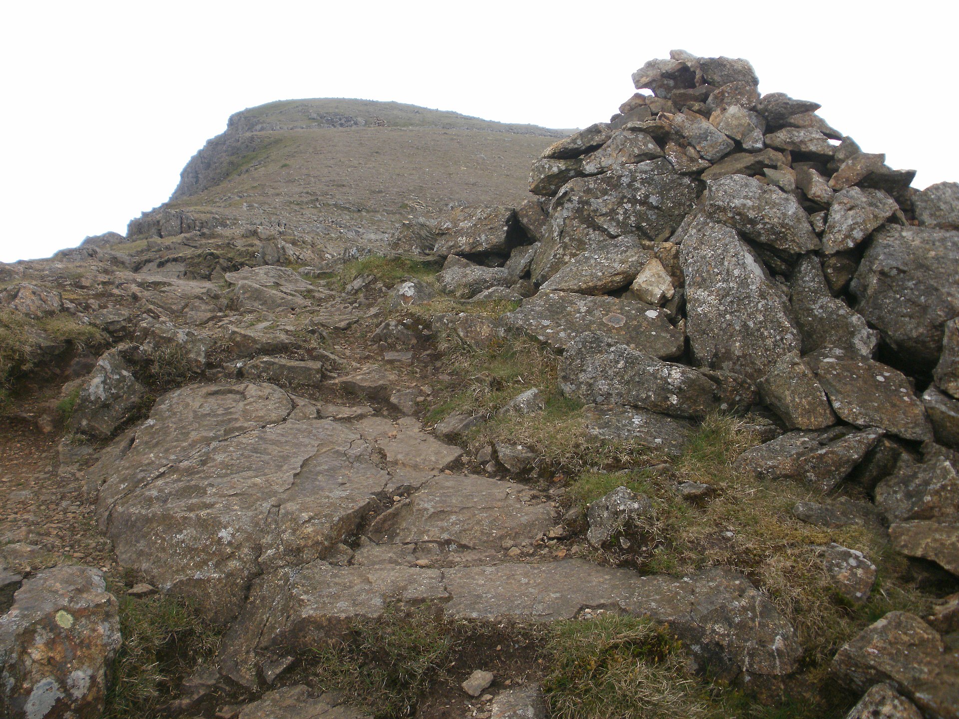
A steady mountain ascent directly above Beddgelert, quieter than Yr Wyddfa, with views over Cardigan Bay and the Nantlle Ridge.
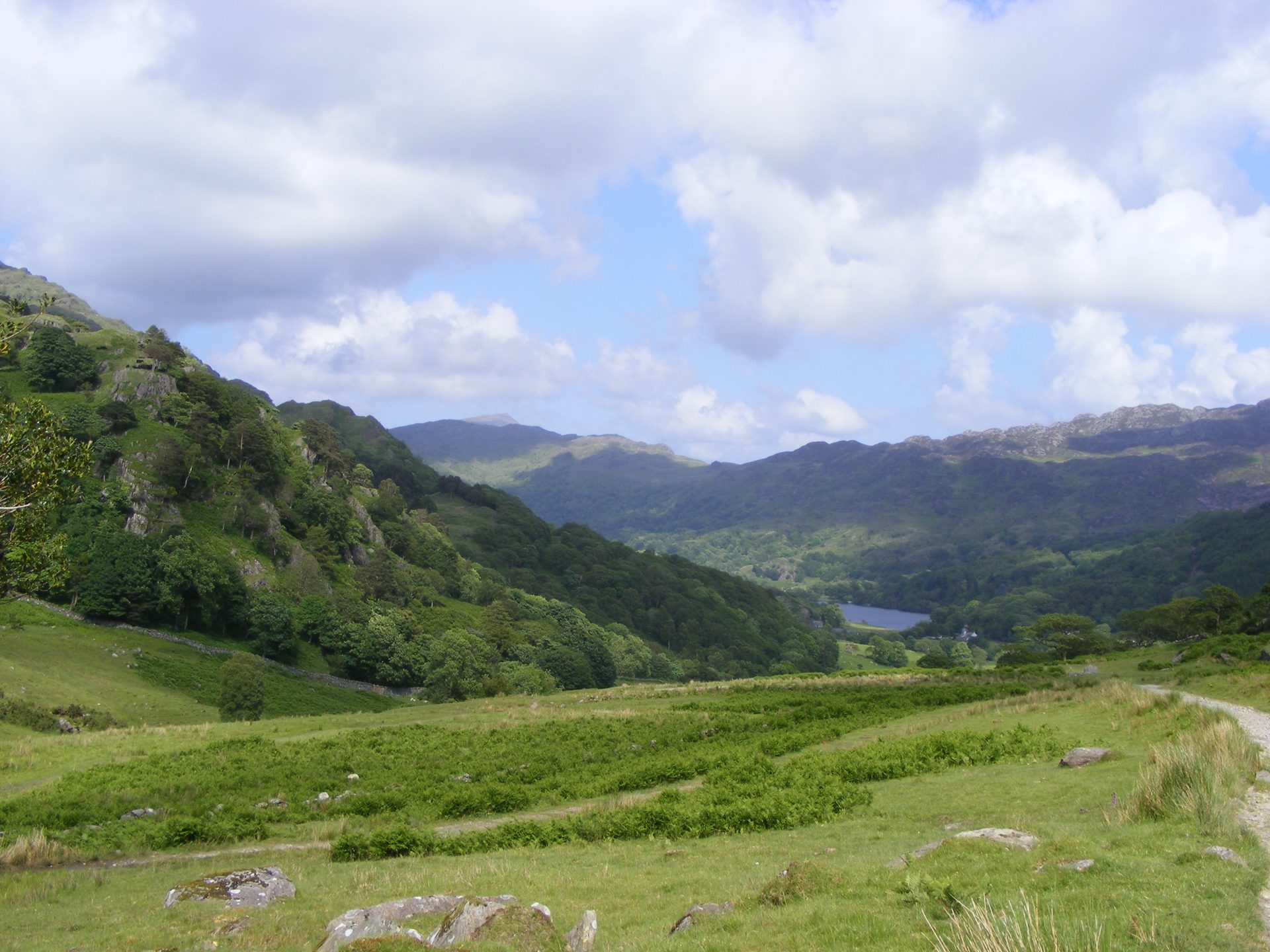
The lowest-starting of Yr Wyddfa's six main paths and Britain's first designated footpath, from Nant Gwynant past old slate workings.
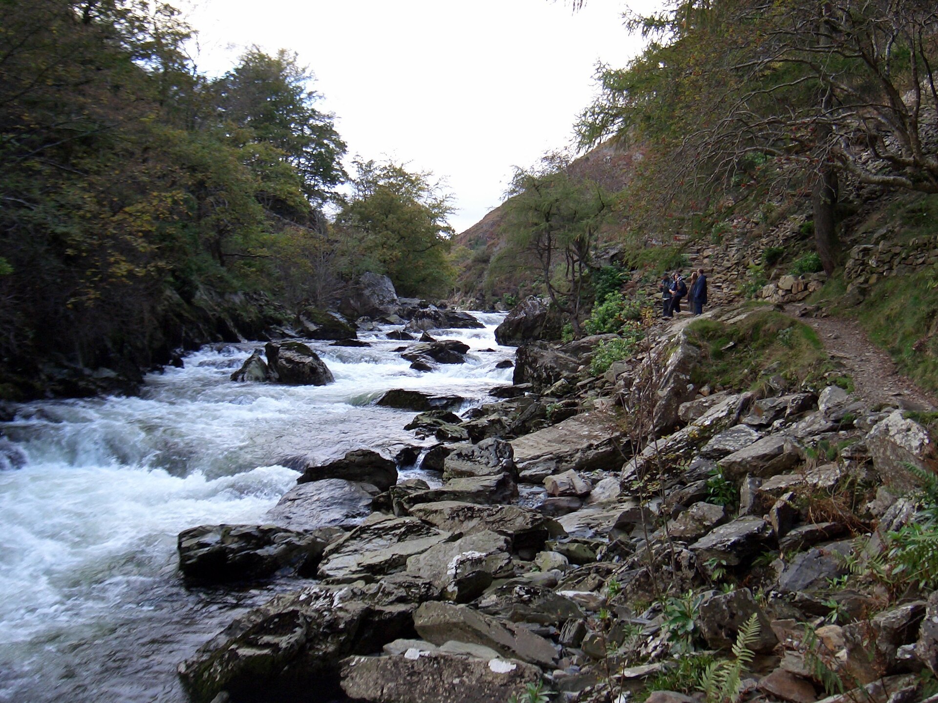
A riverside path through the wooded gorge of the Afon Glaslyn, 5km there and back from Beddgelert, and one of the easiest outings in the village.
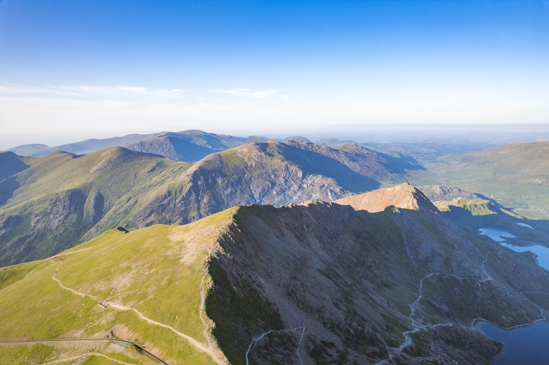
A Grade 1 scramble over Crib Goch's knife-edge ridge and three more summits, 12.2km with 1,152m of ascent from Pen-y-Pass.
Reached by car, by lift or by a short walk, rather than a day on the hill.
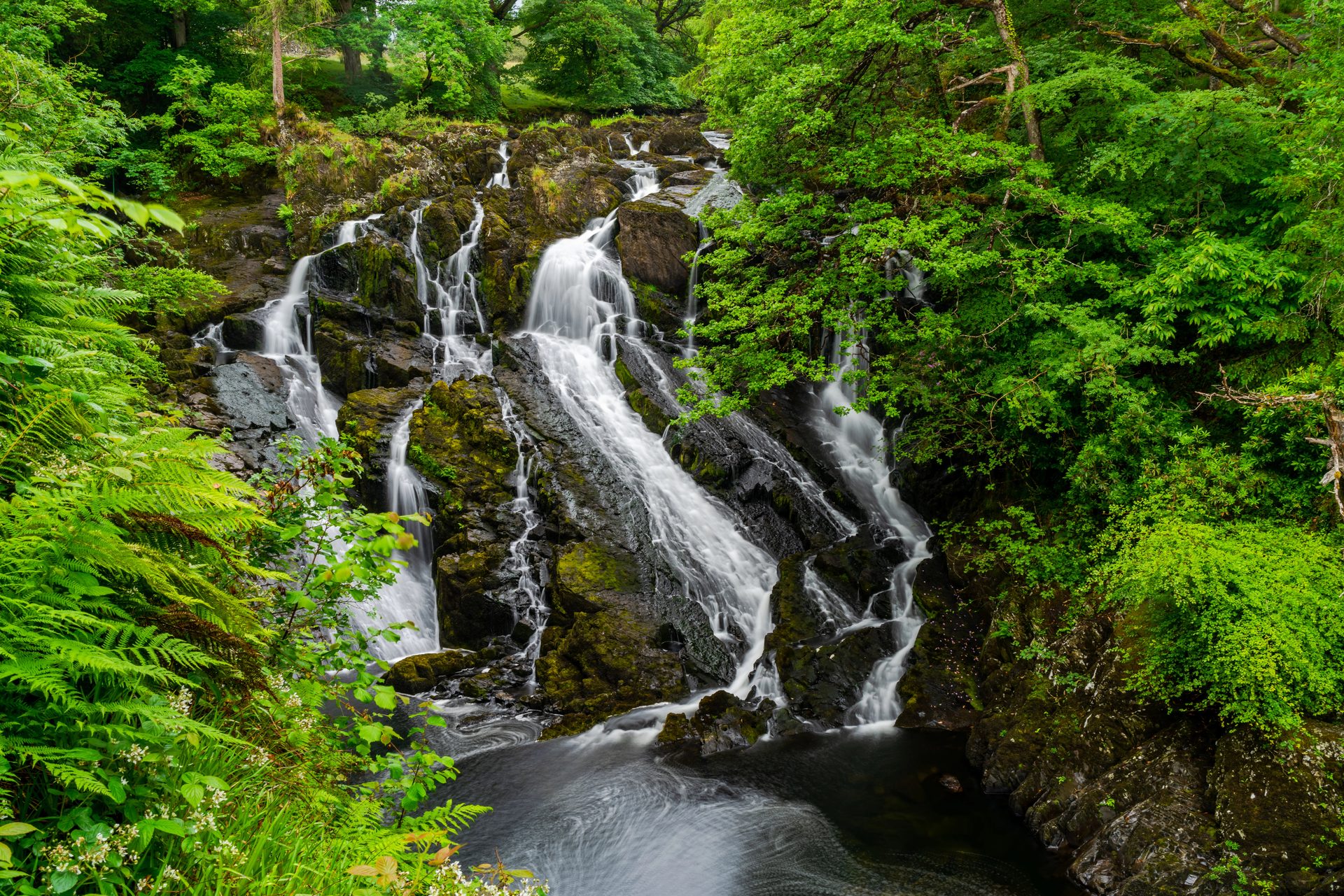
A 42-metre waterfall on the Afon Llugwy, reached by a short paid path with steps from a car park just off the A5.
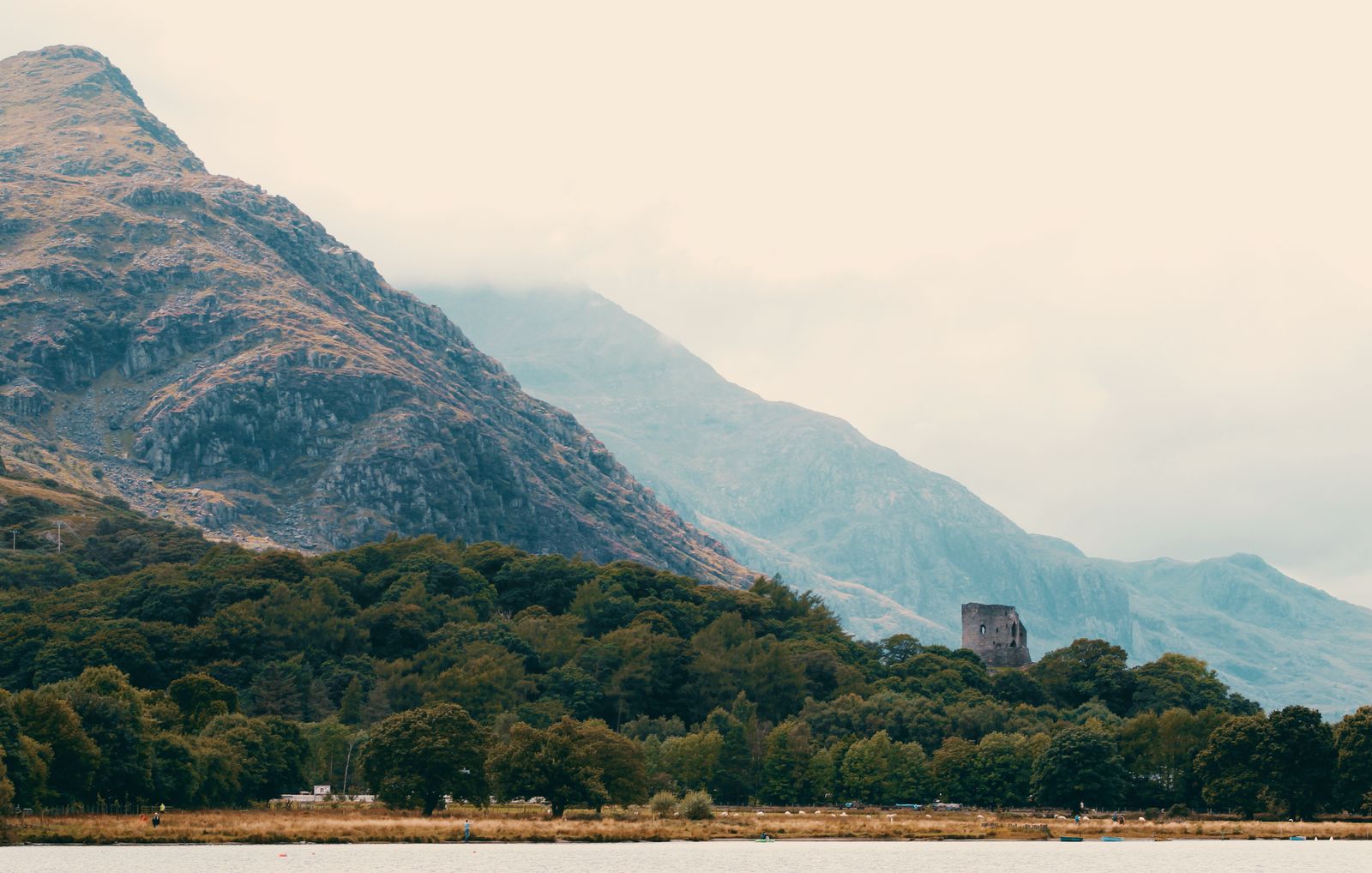
A ruined 13th-century round tower above Llyn Padarn, 10 to 25 minutes on foot from the car park, with views along the Llanberis Pass.
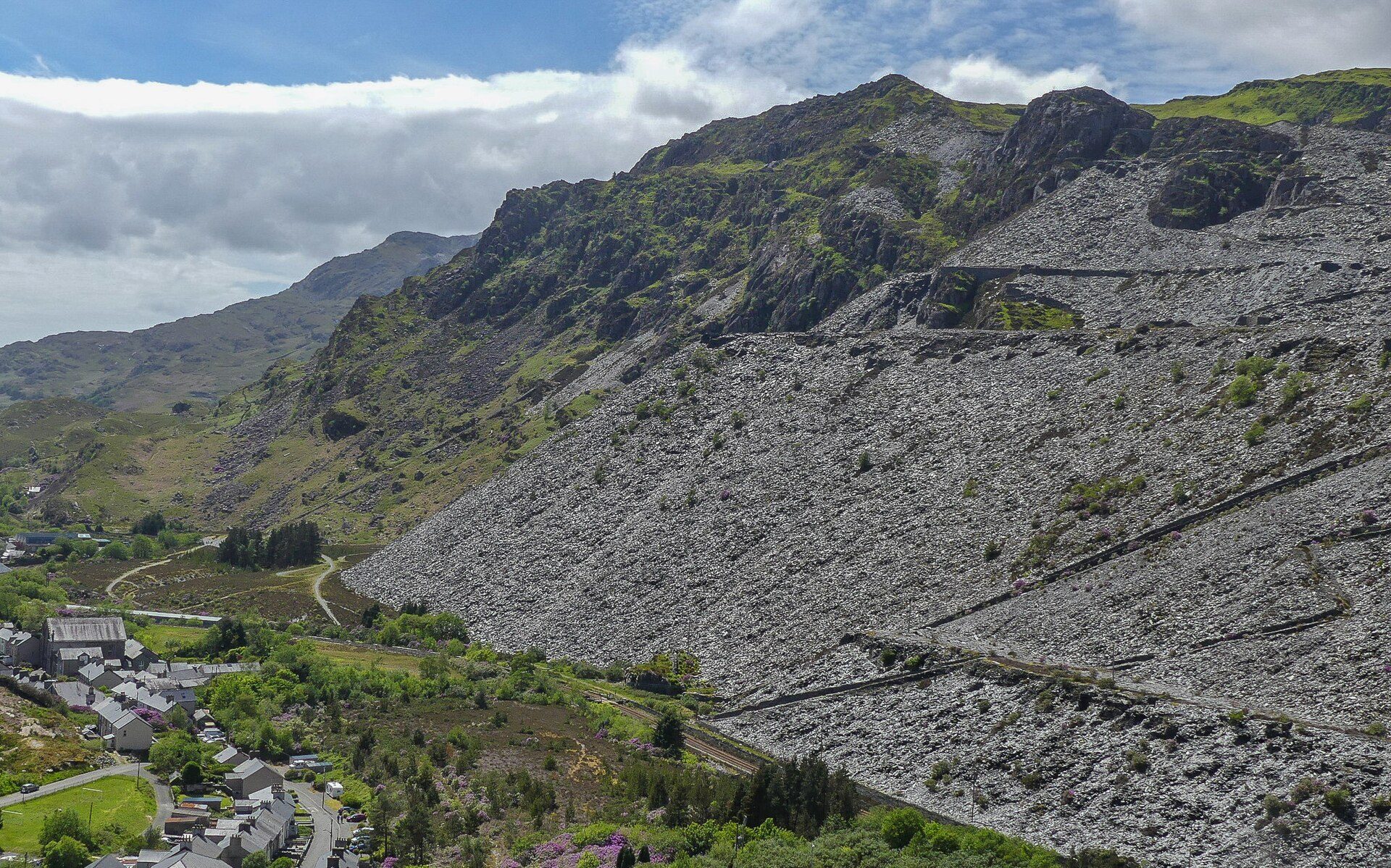
Trampoline nets strung through a slate cavern at Blaenau Ffestiniog, reachable from Betws-y-Coed by road or the same railway line.
Booking through these links earns a commission. The price is the same.
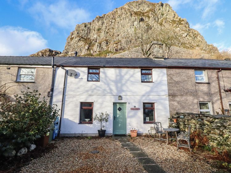
Blaenau Ffestiniog
Sleeps 4 · 3 beds
from £365 / week
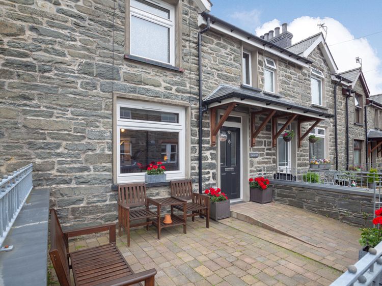
Check dates for Old Station Cottage (opens the booking site in a new tab)Checked 8 Oct
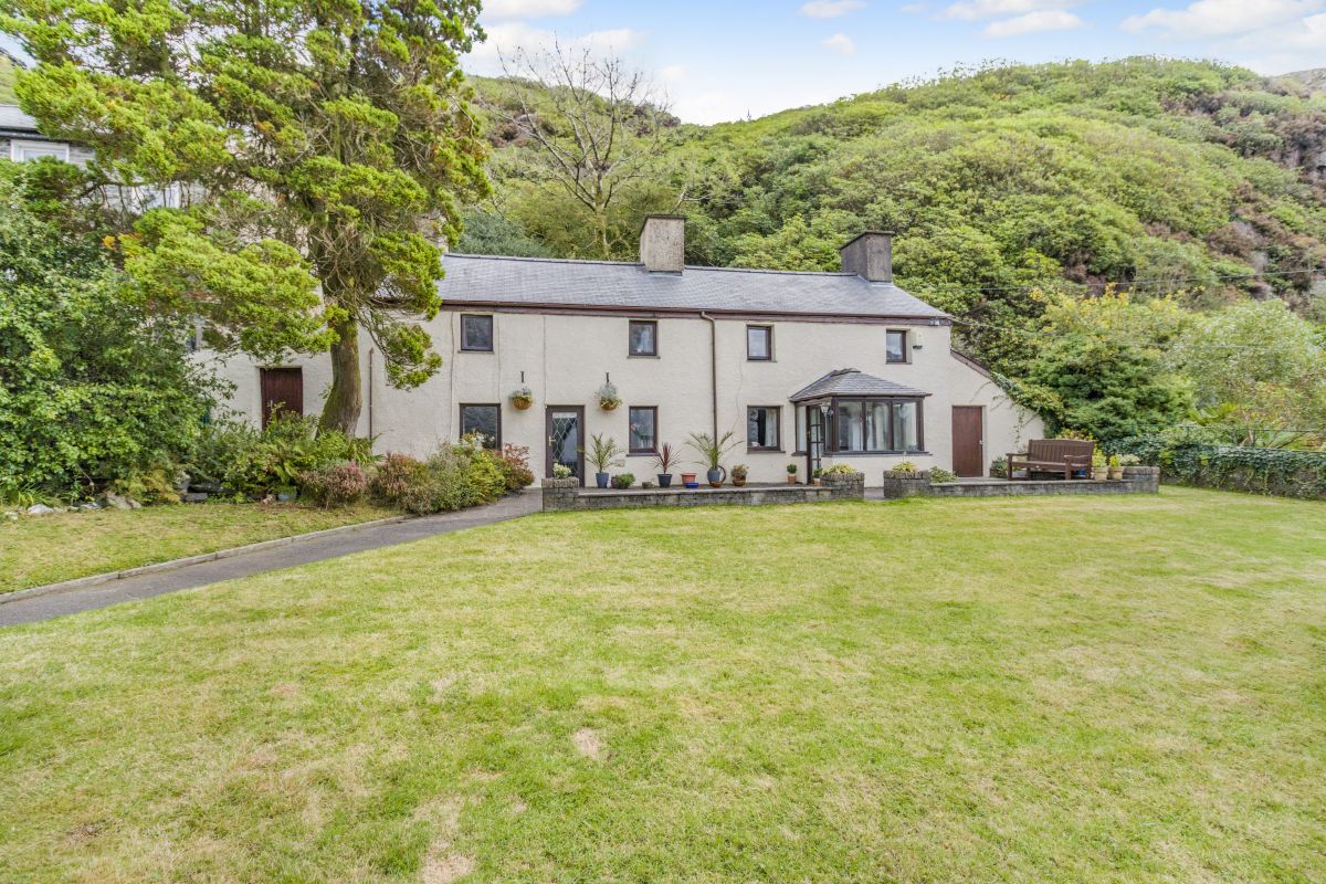
Fucheswen, near Blaenau Ffestiniog, North Wales
Sleeps 6 · 3 beds
from £973 / week
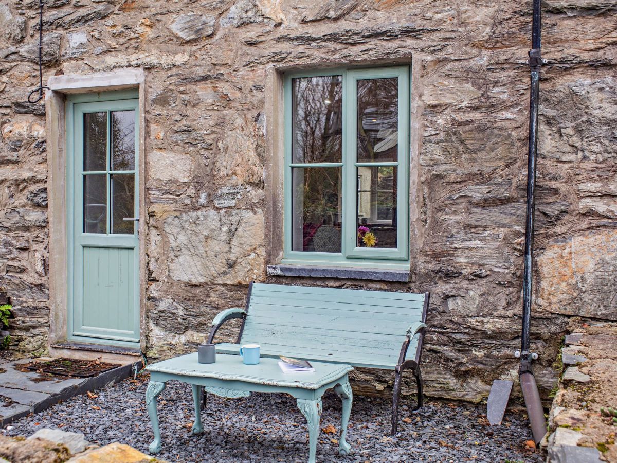
Check dates for The Mountains House (opens the booking site in a new tab)Checked 5 Oct
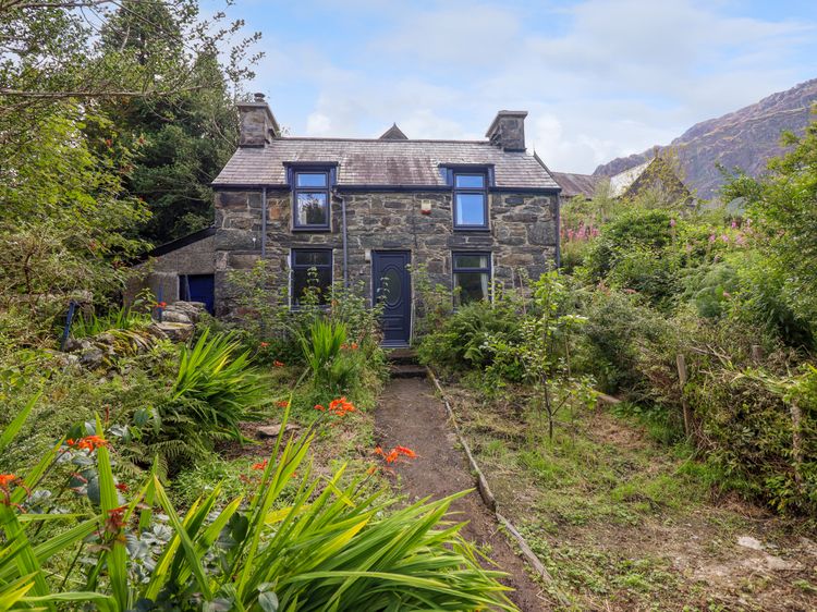
Blaenau Ffestiniog
Sleeps 6 · 3 beds
from £419 / week
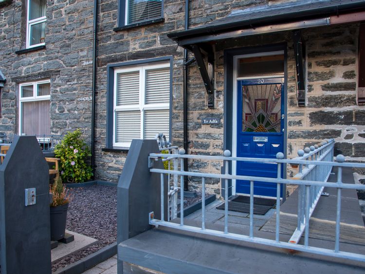
Check dates for Yr Adfa (The Retreat) (opens the booking site in a new tab)Checked 8 Oct
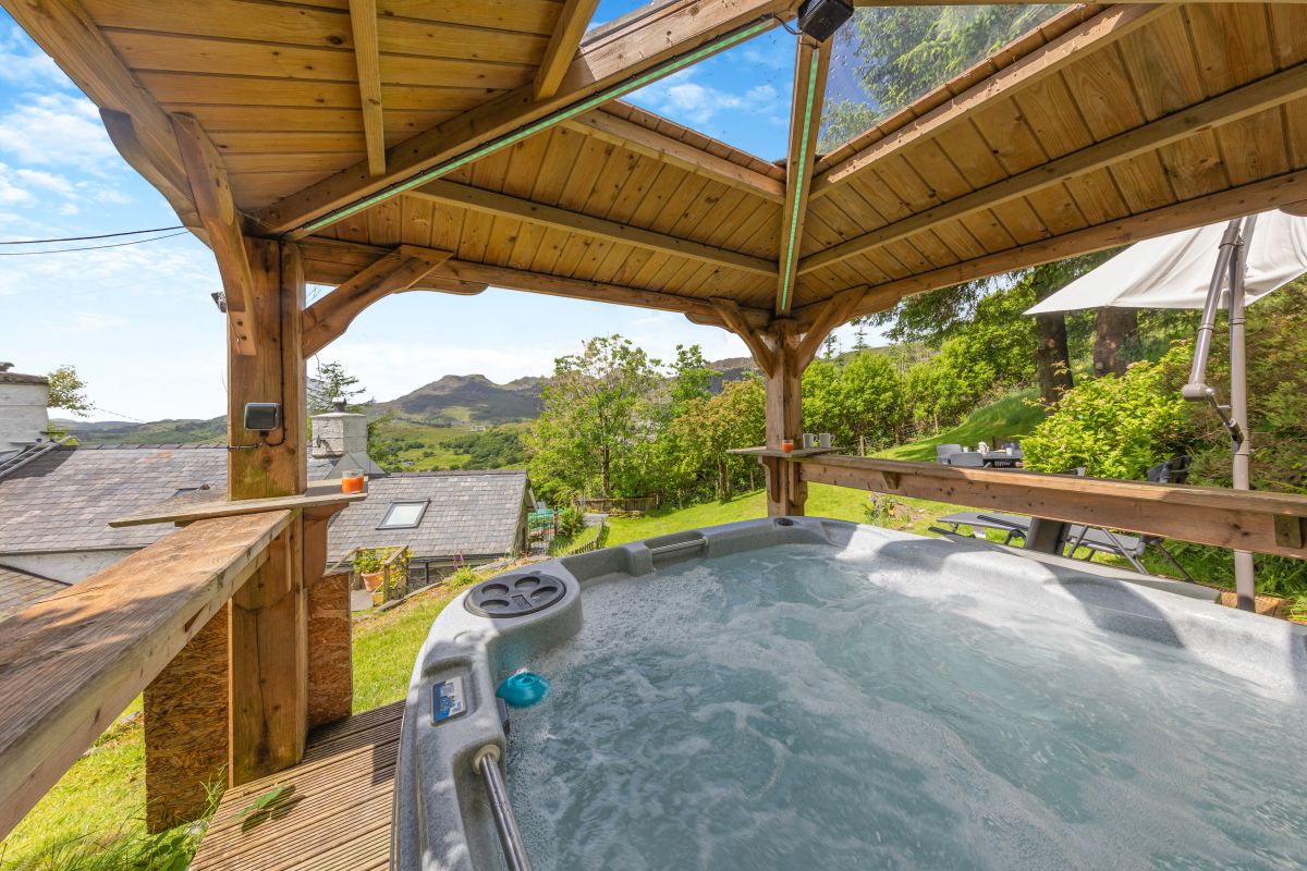
Tanygrisiau, near Blaenau Ffestiniog, North Wales
Sleeps 2 · 1 bed
from £386 / week
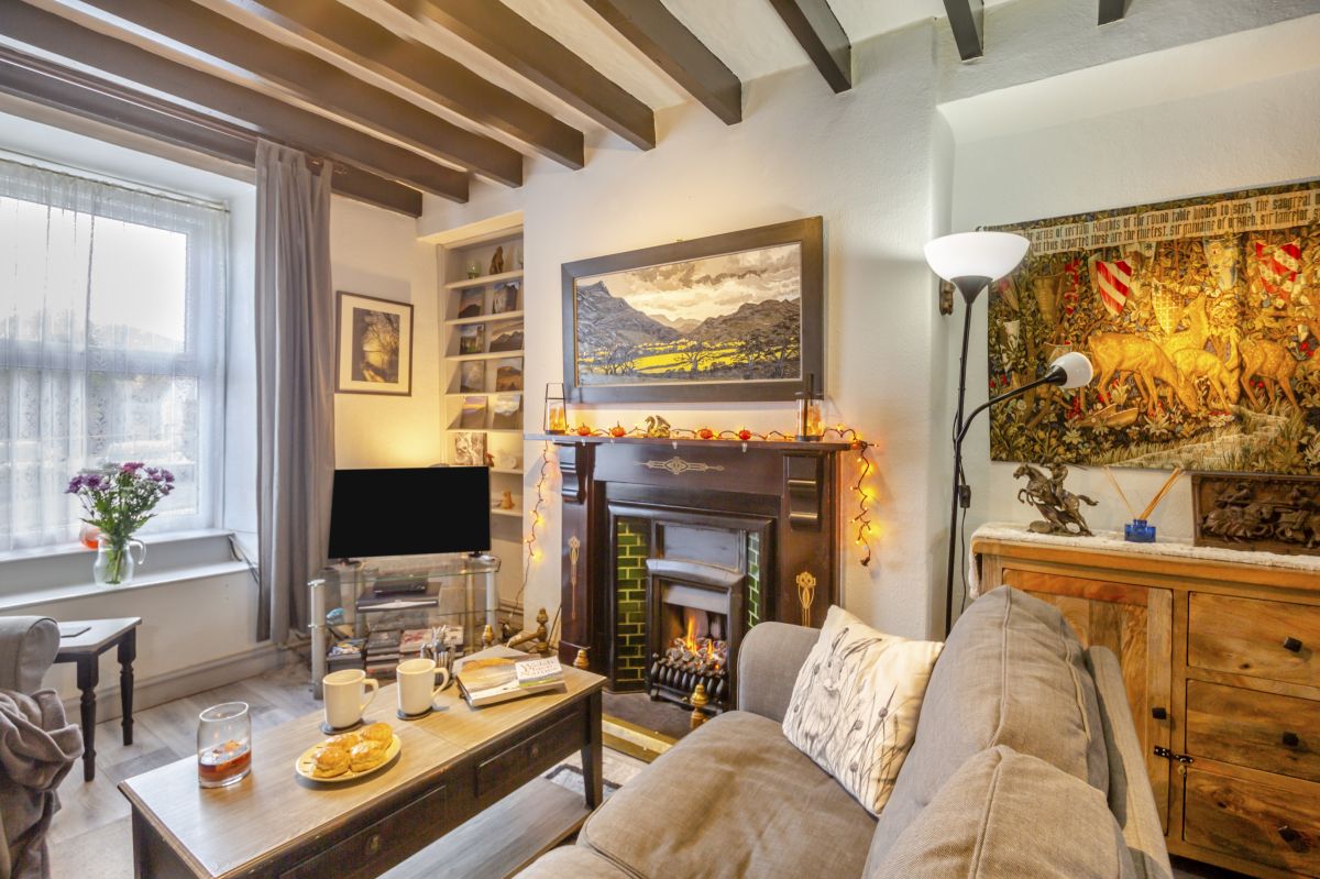
Check dates for Moelwyns Retreat (opens the booking site in a new tab)Checked 5 Oct
All 147 near Blaenau Ffestiniog All stays in Eryri (Snowdonia)